Enhancing Emergency GIS Capacity in Ghana through Tabletop Exercises
This study explores the use of tabletop exercises to evaluate and enhance the emergency management GIS needs in Ghana, focusing on the National Disaster Management Organization (NADMO). The research identifies critical needs for GIS capacity building, stakeholder involvement, personnel training, and data collection improvements within NADMO. The proposed tabletop exercise aims to simulate disaster scenarios to emphasize the importance of GIS development and enhance partnerships for effective emergency response. By addressing these dimensions, the study aims to strengthen Ghana's GIS capabilities in disaster management.
- Emergency Management
- GIS Capacity Building
- Tabletop Exercises
- Disaster Preparedness
- Stakeholder Involvement

Download Presentation

Please find below an Image/Link to download the presentation.
The content on the website is provided AS IS for your information and personal use only. It may not be sold, licensed, or shared on other websites without obtaining consent from the author. Download presentation by click this link. If you encounter any issues during the download, it is possible that the publisher has removed the file from their server.
E N D
Presentation Transcript
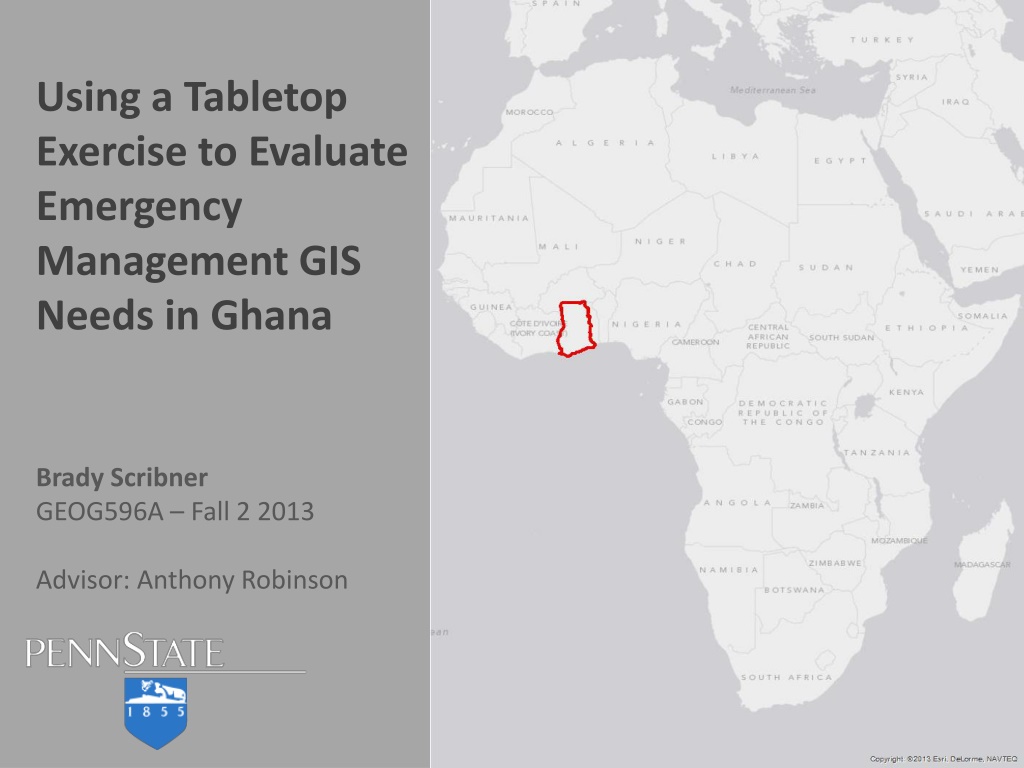
Using a Tabletop Exercise to Evaluate Emergency Management GIS Needs in Ghana Brady Scribner GEOG596A Fall 2 2013 Advisor: Anthony Robinson
National Disaster Management Organisation of Ghana (NADMO) National Guard State Partnership Program Disaster Planning and Preparedness Program North Dakota National Guard
National Guard State Partnership Program Disaster Planning and Preparedness Program North Dakota National Guard NADMO Formed in 1996 Ghanaian version of FEMA Comprised of: 10 regions 243 districts Over 900 local offices Past disasters: Disease outbreaks Floods Invasive pests Civil unrest One of the first national EOCs in Africa
National Guard State Partnership Program North Dakota National Guard DP3 NADMO Development of emergency management GIS in NADMO September 2013 mission to Accra, Ghana to meet DP3 goals Mission goals: GIS training Develop partner relationships Obtain national data
Problem Statement: NADMO GIS capacity in disaster situations requires further development, but we lack knowledge about what the most critical needs are, and to know which stakeholders should be involved in capacity building. Furthermore, NADMO staff should be exposed to a simulated disaster to drive home the need for GIS development. GIS skills will diminish with disuse Partnerships should be strengthened New partnerships should be developed Problem Dimensions Collected data should be improved Additional data should be collected Personnel lack exposure to emergency management GIS utilization
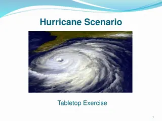
Flooding Disaster Tabletop Exercise Mitigation Fits NADMO needs and interests Access to supporting resources GIS & Floods Recovery Preparedness Response
Tabletop Exercise Options Discussion-based Operations-based Facilitates dialogue Reaction is required Goals: Goals: Staff orientation Plan development Policy review Plan functionality Response tools Partnerships Includes: Includes: Seminars Workshops Tabletops Drills Functional Full-scale Vary based on level of participant interaction Vary based on exercise scope and level of response
Tabletop Exercise Injects Discussion Progression Discussion Open No-fault Scenario Output Realistic Current Responses Reports Tabletop Exercise Reveals gaps and capabilities Builds relationships Trains staff Generates a list of tasks
Tabletop Exercise Design Collect Information City of Fargo NADMO Develop an Outline City of Fargo NADMO Establish Objectives Initiate policy, procedure, agreement development Facilitate geospatial collaboration Expose staff to emergency GIS tasks Identify various gaps
Stewart and Wans levels of exercise maturity high maturity Test responses during an emergency Monitoring and Adaptation Educate staff on emergency plans Training Test responses and discover alternatives Evaluation/Validation Discovery Scenario exposure to elicit basic knowledge low maturity
NADMO staff and partners are not likely to have participated in a tabletop exercise Discovery Level Exercise Maturity Do not want to overwhelm participants and hamper discussion Emergency operations plans that incorporate GIS likely do not exist Other design aspects to consider Exercise evaluation requirements and methods Exercise documentation Homeland Security Exercise and Evaluation Program (HSEEP) training
Tabletop Exercise Delivery Audience will be NADMO and partner agency staff The exercise will not be designed as an educational tool for those simply interested in emergency management GIS Exercise audience will probably be recruited from participants from the September training Exercise will ideally be facilitated in person Request will be made to accompany NDNG members during the next Ghana mission Exercise will be held at NADMO headquarters Remote facilitation is an option but is not ideal Remote facilitation will be difficult and the full effect of the exercise will not be achieved Skype is well used by NADMO staff though Adobe Connect through PSU would be preferred
Timeline of project activities (+ brief statement about 596B presentation venue) Exercise Presentation 1 day Discussion based around scenario injects Record discussion notes, video Exercise hotwash Prepare Discussion Points 1 day Review and organize discussion notes Create a presentation for participants Evaluation of Exercise Results 1 day Present and review discussion items with participants Create an outline with participants that will be used to produce an After Action Report (AAR)
Exercise Evaluation Evaluation Process Allow participants to evaluate the exercise and components Determines if exercise objectives were met Participant review of discussion presentation Discuss strengths/gaps of each inject response Corrective actions for prioritized AAR items First step towards improvement Summarizes exercise discussion Exercise Evaluation After Action Report Improvement Plan Summarizes scenario Summarizes inject responses and provides observations Determines if core capabilities were met by responses Decision makers review and approve report
Timeline of project activities (+ brief statement about 596B presentati on venue) Exercise Presentation 1 day Discussion based around scenario injects Record discussion notes, video Prepare Discussion Points 1 day Organize discussion notes Create a presentation for participants Evaluation of Exercise Results 1 day Present and review discussion items with participants Create an outline with participants that will be used to produce an After Action Report (AAR) and Improvement Plan (IP) Improvement Plan Prioritize AAR gaps, develop corrective actions Produce an Improvement Plan
Putting results into practice (after action brief, etc ) Improvement Plan Improvement Plan Process Serves as a guide to address identified critical issues Is the ultimate goal of the tabletop exercise Participants review AAR and discuss corrective actions Improvement Plan is created with input/review from participants Corrective actions for prioritized AAR items First step towards improvement Summarizes exercise discussion Exercise Evaluation After Action Report Improvement Plan Prioritizes AAR items Proposes corrective actions for identified gaps Actions should be realistic, timely, and measurable Decision makers review and approve plan
Timeline of project activities (+ brief statement about 596B presentation venue) December HSEEP training exercise design and evaluation Collect past flood information from NADMO and City of Fargo January Develop an outline of typical flood response focused on GIS tasks Create exercise scenario and injects February Review scenario with Fargo staff make revisions Edit and organize HSEEP documentation March Conduct exercise in Ghana return to U.S. or facilitate remotely Produce final HSEEP documentation and submit for review Some other month Present at a conference somewhere
Significance of this project, Limitations of this project Significance Limitations GIS is the focus of the tabletop and not an accessory Success hinges upon level of discussion Prepares a developing organization in a flourishing nation for future disasters The Improvement Plan must be acted on to achieve any long term benefit for NADMO Reveals critical gaps of geospatial analysis in emergency response efforts in Ghana The exercise can only address a single emergency amongst a list of likely events Project outcomes will be specific to NADMO and will be difficult to generalize for use by other organizations Will be the catalyst for several improvements within the organization
Wrap on ongoing challenges for this project Multiple benefits can be achieved from a single tabletop exercise Ultimately, NADMO will be better equipped to handle the geospatial aspects of disasters NADMO staff and partners will be able to integrate GIS in emergency management Conclusion This exercise will hopefully be the beginning of an ongoing exercise program for NADMO A roadmap to improvement will be provided in the form of the AAR/IP NADMO staff and partners must work to improve the GIS capabilities of the organization