Understanding Latitude, Longitude, and Elevation for Weather Prediction
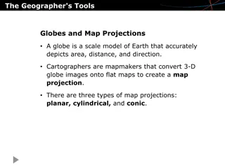
Latitude and longitude are used to locate places on Earth, while elevation represents the height above sea level. These geographical factors play a crucial role in determining temperature variations across different regions. The Equator, Prime Meridian, and other key lines help in dividing the Earth and understanding climatic patterns. Elevation, which is depicted on relief maps, also influences local climatic conditions.

Download Presentation

Please find below an Image/Link to download the presentation.
The content on the website is provided AS IS for your information and personal use only. It may not be sold, licensed, or shared on other websites without obtaining consent from the author. Download presentation by click this link. If you encounter any issues during the download, it is possible that the publisher has removed the file from their server.
E N D
Presentation Transcript
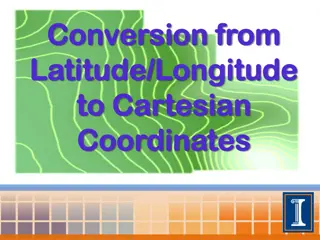
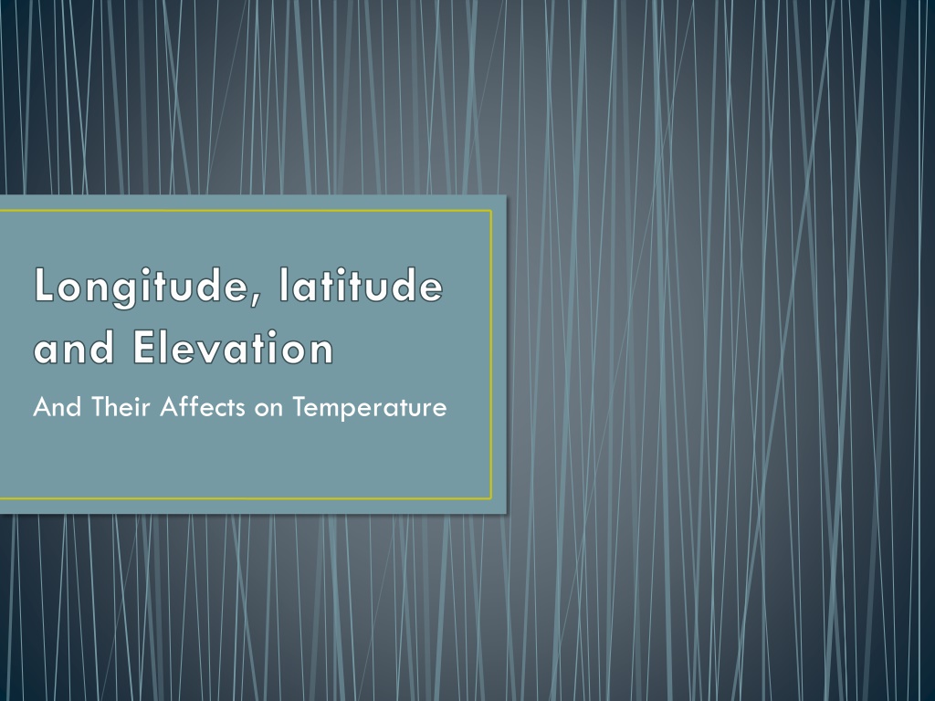
Longitude, latitude and Elevation And Their Affects on Temperature
What are longitude and latitude? Latitude and Longitude are imaginary lines that we use to identify places on a map or a globe.
Parallels of Latitude Latitude measures angular distance North or South of the Earth s Equator, in degrees, minutes, and seconds. Latitude is represented by horizontal lines on a map. The Earth s Equator is zero (0 ) degrees latitude, the North Pole is 90 degrees North latitude, and the South Pole is 90 degrees South latitude. North Pole: 90 North Other parallels of latitude Equator: 0
What is a Latitude Line? The lines that run across the grid -- the flat lines -- are lines of latitude. The Equator is an example of a line of latitude. The Equator is the latitude line that divides Earth into two hemispheres, the northern hemisphere and the southern hemisphere.
Equator The Equator is the 0 point of latitude. Since it s the region of Earth that receives the most sunlight, the climate near the equator is hot it s summer all the time. People who live near the equator will generally distinguish between a long hot dry season and a long hot wet season. Some of the countries with the equator include Gabon, Congo, Uganda, Kenya, Somalia, Indonesia, Ecuador, Columbia, and Brazil
Longitude The lines that run up and down on the grid -- the tall lines -- are lines of longitude. The lines of longitude are also called meridians. The Prime Meridian, which passes through Greenwich, England, is the longitude line that divides Earth into two hemispheres, the eastern hemisphere and the western hemisphere. The Prime Meridian is the 0 point of longitude.
What is Elevation? Elevation is: The height of something, measured from Sea level.