Understanding Geodetic Datums and WGS-84 Coordinates
Geodetic datums define the earth's shape and size, serving as reference points on coordinate systems. Vertical datums establish zero surface elevation, while horizontal datums form the basis for horizontal coordinates. The World Geodetic System 1984 (WGS-84) is the reference system used by GPS and land surveys, offering globally consistent coordinates. WGS-84 coordinates are crucial for accurate location data. However, raw survey data in WGS-84 format requires further processing for practical applications due to its basic longitude and latitude references without length measurements.

Download Presentation

Please find below an Image/Link to download the presentation.
The content on the website is provided AS IS for your information and personal use only. It may not be sold, licensed, or shared on other websites without obtaining consent from the author. Download presentation by click this link. If you encounter any issues during the download, it is possible that the publisher has removed the file from their server.
E N D
Presentation Transcript
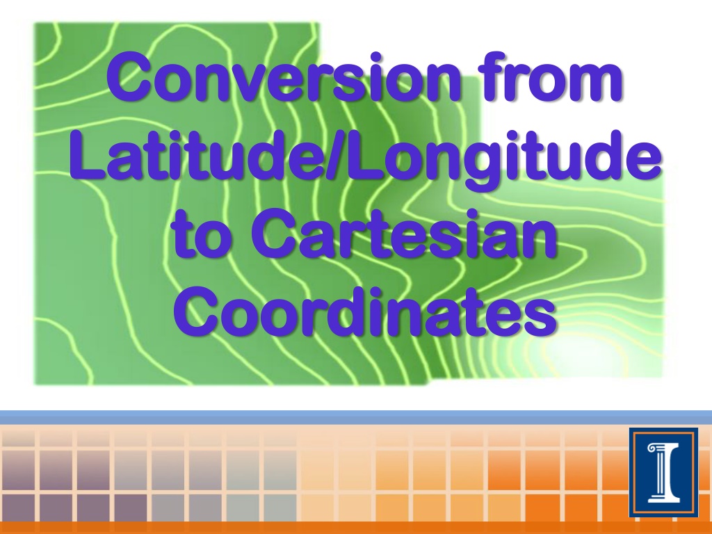
Conversion from Conversion from Latitude/Longitude Latitude/Longitude to Cartesian to Cartesian Coordinates Coordinates
Geodetic Datums Define the shape and size of the earth. Reference points on a coordinate system used to map the earth. There are hundreds of datums currently in use; all are either vertical or horizontal in orientation.
Vertical Vertical Datums Datums Defines a system of zero surface elevation This surface is then used to reference heights Many vertical datums reference the geoid as a surface of zero elevation The geoid can be described as the surface of the earth if it was completely covered by water. This surface would be smooth but highly irregular reflecting changes in gravity due to the earth irregular surface.
Horizontal Horizontal Datums Datums Forms the basis of horizontal coordinates Earth is modeled as an ellipsoid The center of the ellipsoid must coincide with the earths center of mass A datum is then placed on the ellipsoid for reference
World Geodetic System World Geodetic System 1984 1984 The reference coordinate system used by GPS Globally consistent within 1 meter Datum is located at where the Prime Meridian and Equator cross
WGS 84 Coordinates WGS 84 Coordinates WGS 84 used by GPS systems Land Surveys conducted with GPS will consist of WGS 84 coordinates with coinciding elevation measurements.
WGS 84 Survey WGS 84 Survey Surveys in this raw form are not very useful. The longitude and latitude are simply references to the WGS 84 datum measured in degrees The elevation is measured in a unit of length from a reference geodic elevation
WGS 84 Survey WGS 84 Survey Longitude and latitude do not provide measurements of length . Without measurements of length, one cannot calculate area, volume, or slope.
Cartesian Coordinates Cartesian Coordinates A better way to represent these data would be in a Cartesian form (X,Y,Z) in units of (length,length,length) - i.e. (m,m,m) or (ft,ft,ft) There is a need to find a practical way to convert (degrees longitude, degrees latitude, m) to (m,m,m)
Assumptions Assumptions In order to convert from degrees to meters. Assume that the ellipsoidal based datum of the WGS 84 system can also be modeled as a sphere.
Assumptions Assumptions This allows a constant earthly radius (R) The radius of the earth is approximately 6,371 km (3,959 mi)
Arc Length at Equator Arc Length at Equator The ratio of the arc length and circumference is equal to the ratio of and 2 radians Circumference (C) 2 radians
Arc Length at Equator Arc Length at Equator Now let use choose a value for . To keep it simple we will choose 1 ( /180 radians) Circumference (C) 2 radians
Arc Length at Equator Arc Length at Equator C = 2 R = /180 R= 6,371 km Circumference (C) 2 radians L = 111.19 km ( at the equator)
Arc Length Arc Length This value of 111.19 km represents the distance between one degree of longitude at the equator A new radius must be calculated for all other parallels
Arc length at Latitude Arc length at Latitude = degree of latitude of the location Alternate interior angles r R r = R cos( )
Length of One Degree of Longitude (on WGS 84 Ellipsoid) Length of a Degree of Latitude (on the WGS 84 Ellipsoid) Kilometre s 110.57 110.61 110.70 110.85 111.04 111.23 111.41 111.56 111.66 111.69 Latitude Miles Latitude Kilometres Miles 0 10 20 30 40 50 60 70 80 90 111.32 109.64 104.65 96.49 85.39 71.70 55.80 38.19 19.39 0.00 69.17 68.13 65.03 59.95 53.06 44.55 34.67 23.73 12.05 0.00 0 10 20 30 40 50 60 70 80 90 68.71 68.73 68.79 68.88 68.99 69.12 69.23 69.32 69.38 69.40 At the equator, the distance of between one degree of latitude of WGS 84 is 111.32 km. This is close to 111.17 km. ( less than one percent error) Proving that the circular assumption is valid.
Choosing a Datum Choosing a Datum In order to assign Cartesian values to WGS 84 coordinates, we must establish a datum from which each point will be referenced from. A wise choice for a field survey datum would be the minimum observed longitude, latitude, and elevation. Doing this will assure that all the converted data will be positively referenced from the datum. This will allow for the data to fit exclusively into the first quadrant when plotted.
Referencing Longitude from Datum Referencing Longitude from Datum Example: Minimum longitude = -89.6579 Observed longitude = -89.65741 Observed latitude = 38.34133 R = 6,371 km X = .04273 km X= 42.73 m
Referencing Latitude from Datum Referencing Latitude from Datum Example: Minimum latitude= 38.33916 Observed latitude= 38.34133 241.29 m
Determine the area (in square miles) bounded by Mount Zion, DeLand and Monticello, three towns in Illinois. Let a, b and c be the lengths of the three sides of the triangle. The area of this triangle is given by: Area = Sqrt [ s * (s - a) * (s - b) * (s - c) ] where s = (1 / 2)(a + b + c).
Using Excel to Convert Data Using Excel to Convert Data It is practical to use Microsoft Excel or another program to convert data from Lat/Long to Cartesian Coordinates. An Excel template was created for this conversion.
Excel Template Excel Template
Excel Template Excel Template
Excel Template Excel Template
Excel Template Excel Template
Excel Template Excel Template
Excel Template Excel Template
Excel Template Excel Template


")