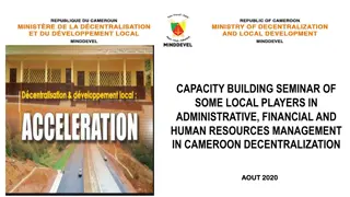
Development of UN-IGIF Action Plan in Cameroon: Addressing Geospatial Data Governance Challenges
The journey of developing a UN-IGIF Action Plan at the country level in Cameroon begins with identifying stakeholders and common strategic priorities, mobilizing support, setting up project teams, drafting action plans, and organizing workshops. The lack of coordination among geospatial information players in Cameroon has negative consequences on state budgeting and spending quality. The integrated geospatial information framework aims to improve national geospatial information management by addressing governance, policy, data, and partnership challenges.

Download Presentation

Please find below an Image/Link to download the presentation.
The content on the website is provided AS IS for your information and personal use only. It may not be sold, licensed, or shared on other websites without obtaining consent from the author. Download presentation by click this link. If you encounter any issues during the download, it is possible that the publisher has removed the file from their server.
E N D
Presentation Transcript
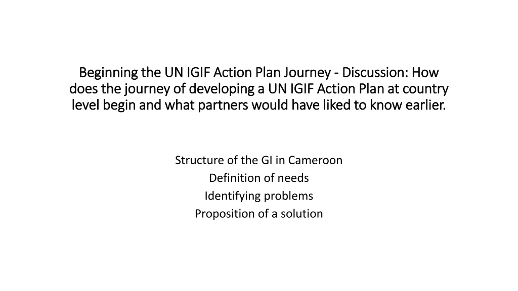
Beginning the UN IGIF Action Plan Journey Beginning the UN IGIF Action Plan Journey - - Discussion: How does the journey of developing a UN IGIF Action Plan at country does the journey of developing a UN IGIF Action Plan at country level begin and what partners would have liked to know earlier. level begin and what partners would have liked to know earlier. Discussion: How Structure of the GI in Cameroon Definition of needs Identifying problems Proposition of a solution
Several stakeholders are involved in the field in Cameroon without really a Leader designated and recognized by all! this serious problem of geospatial data and information governance has enormous negative consequences on the state budget and particularly on the quality of state spending and accentuates duplication. MAIN GEOSPATIAL INFORMATION PLAYERS IN CAMEROON MINHDU MINESUP MINEPAT MINRESI MINEE MINFOF MINADER MINAT BUCREP INC MINTP FEICOM WRI MINSANTE INS MINADER OSM GOOGLE ONGs MINDCAF OSC MINDEVEL For the most part, there are no links or conventions between them!
To embark on the development of the Country Action Plan To embark on the development of the Country Action Plan ,1- To soak up what is, to appropriate the concept and explain it in simple words to the decision-makers. 2- Write a letter of support to SDG Data Alliance (via the UNGGIM Africa Secretariat, this is ideal) 3- Mobilize the stakeholders and explain to them what it is about; the interest, advantages, issues and challenges of geospatial information! identify common national strategic priorities. 4- Set up a project team made up of the majority of stakeholders (producers, users, developers, trainers and geospatial services, etc.) 5- Take stock with SDG Data Alliance resource persons of common strategic priorities and specific needs to find out how to address them through the standard canvas 6- Preparation and distribution of information letters on the composition of the project team and official invitation of the members of the project team 7- Imprinting and consultation meetings with members of the project team on the IGIF (Action Plan and Data Hub) 8- Elaboration of the list of stakeholders' needs and the writing plan. 9- Submission and validation of the drafting plan to resource persons and decision-makers (this is important for the monitoring of the authorities). 10- Drafting of the first draft of the Action Plan 11- Organization of a workshop with stakeholders
CAMEROON ACTION PLAN INTEGRATED GEOSPATIAL INFORMATION FRAMEWORK OF THE UNITED NATIONS (UN-IGIF)TO IMPROVE NATIONAL GEOSPATIAL INFORMATION MANAGEMENT 2ND DRAFT (115 PAGES) It was inspired by the 2016 UN- GGIM Africa Action Plan and built on the model of the UN- GGIM IGIF Implementation Guide STATE OF PLAY GAP ANALYSIS ANALYSE OF NEEDS SUMMARY OF NEEDS SP1-GOVERNANCE AND INSTITUTIONS SP2-POLICY AND LEGAL SP4. DATA SP7. PARTNERSHIPS AND COMMUNICATION