Recent Developments in Marine Geospatial Information Management
The Baltic Sea Hydrographic Commission and related activities highlight significant developments in marine geospatial information management, including upcoming council meetings, GEBCO initiatives, and UN-GGIM endorsements of integrated marine geospatial frameworks. These efforts aim to enhance data integration, accessibility, and sustainability in ocean mapping for the benefit of various geospatial programs worldwide.
Download Presentation

Please find below an Image/Link to download the presentation.
The content on the website is provided AS IS for your information and personal use only. It may not be sold, licensed, or shared on other websites without obtaining consent from the author. Download presentation by click this link. If you encounter any issues during the download, it is possible that the publisher has removed the file from their server.
E N D
Presentation Transcript
13th Meeting of the Baltic Sea Hydrographic Commission (BSHC) Helsinki, Finland, 19 - 21 September 2023 IHO Secretariat s Report on recent developments of relevance for the Baltic Sea Region Dr Mathias Jonas Secretary-General Baltic Sea Hydrographic Commission
Forthcoming 7 Forthcoming 7th th Council, October 2023 Council, October 2023 All major items to be addressed by the report of the BSHC Council representative note BSHC28_B2_SE Council Report HSSC and IRCC chairs are present and will report on the most recent developments of the respective committee under BSHC28_C1 and BSHC28_D1 20/09/2023
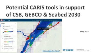
GEBCO related activities GEBCO related activities GEBCO strategy Governance review 1903-2023: 120 years of Ocean discovery: IHO + IOC Assembly + GEBCO Week Work started to get IHO CSB initiative endorsed as UN Decade action 20/09/2023
GEBCO related activities GEBCO related activities 6- 12 November: GEBCO Week in Monaco SC Meetings, Map the Gaps Symposium (7. 9. November) and GEBCO Guiding Committee /Steering Committee Meeting A workshop organised jointly by the Organisation for Economic Cooperation and Development (OECD) and IHO, 13 November 2023, Monaco The Future of Seabed Mapping and its Associated Uses by 2045 20/09/2023
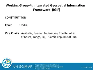
UN GGIM - 13th Session of the UN Committee of Experts on Global Geospatial Information Management (UN-GGIM) 2 - 4 August 2023 The UN-GGIM Committee of Experts endorsed the Operational Framework for Integrated Marine Geospatial Information Management UN-IGIF-Hydro (Part One & Two) The UN-IGIF-Hydro aims to ensure the inclusion of the marine domain in the larger geospatial information ecosystem and is intended to be used by both developing and established geospatial programs which wish to implement the UN-IGIF Strategic Pathways in the marine domain. It will play a key role in ensuring data on the marine environment is integrated, authoritative, and readily accessible and as such the framework has been endorsed as an action of the Decade of Ocean Science for Sustainable Development. The UN-IGIF-Hydro framework recognizes hydrography and ocean mapping as important contributors to other geospatial domains. 5 20/09/2023
IHO Secretariat`s domestics IHO Secretariat`s domestics Work has continued on the IHO Country Information system The IHO Country Information system has been progressively upgraded to include administrative information and facilitate the maintenance of the IHO publications such as Yearbook (P-5) and Status of Hydrographic Surveying and Charting Worldwide (C-55) posted on the IHO website. BSHC Members are invited to review their entry in the publications on an annual basis and provide the IHO Secretariat with the appropriate updates through the IHO Online Form system. 6 20/09/2023
Progression with S-130 authoritative dataset for limits of the seas and oceans HSSC15 endorsed S-130 Product Specification Edition 1.0.0 Start to develop S-130 sample dataset for Edition 1.0.0, to continue with a test phase. After testing, full implementation of S-130 Edition 1.0.0 to be completed by September 2024 to gain experience for Edition 2.0.0 to be completed by end of 2024. The Secretariat proposes the creation of S-130 Edition 1.0.0 sample test data sets under contract for the following test areas: Southern Ocean Baltic Sea BSHC members are requested to agree with the use of the GIS data set consisting of the actual limits and boundaries defined by BSHC (https://www.bshc.pro/wp-content/uploads/Baltic_Sea-Limits_of_the_sub-areas.pdf) purpose of the creation of a test data set aiming to further refinement of the S-130 Product Specification and final publication as authoritative data set. and published at the BSHC website for the 20/09/2023
BSHC is invited to take note of this briefing, and to take action as considered appropriate 8 20/09/2023


