
SmartBar for Microsoft Dynamics 365 & Power Apps - Improve Navigation and Personalize Your Forms
SmartBar is a powerful tool for Microsoft Dynamics 365 & Power Apps that enhances navigation, personalization of forms, and improves user interface. With customizable buttons, color-coding, and simplified navigation between related records, SmartBar boosts productivity and user adoption. Explore its
2 views • 11 slides

Master Your Smartphone GPS and Mapping Apps for Effortless Navigation
Unlock the true potential of your smartphone GPS with this comprehensive guide on navigation and mapping apps. Learn how to never get lost again, whether you're driving, hiking, or exploring off-road. Discover a range of apps for different activities, from vehicle navigation to sharing locations and
4 views • 14 slides
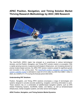
APAC Position, Navigation, and Timing Solution Market Analysis & Forecast
The Asia-Pacific position, navigation, and timing (PNT) solution (satellite) market is estimated to reach $1,410.5 million by 2033 from $466.1 million in 2023, at a CAGR of 11.71% during the forecast period 2023-2033.\nRead Report Overview: \/\/bisresearch.com\/industry-report\/asia-pacific-position
11 views • 3 slides
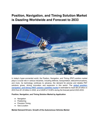
Position, Navigation, and Timing Solution Market Forecast to 2033
The global position, navigation, and timing (PNT) solution (satellite) market is estimated to reach $5.24 billion in 2033 from $1.23 billion in 2022, at a CAGR of 10.85% during the forecast period 2023-2033.\nRead Report Overview: \/\/bisresearch.com\/industry-report\/position-navigation-timing-solu
0 views • 3 slides

Understanding Cadastral Systems in Land Management
Cadastral systems play a crucial role in land management by handling land registration, property taxation, and land tenure. These systems involve private conveyancing, registration of deeds, cadastral surveying, and mapping to maintain records efficiently. They provide information on parcel index ma
1 views • 16 slides

Military Academy Map and Navigation Presentation
This presentation introduces basic map reading and navigation skills essential for Military Academy students. It covers various types of maps, map symbols, measuring distance, and understanding topographical features like physical and man-made elements. Navigation is highlighted as a critical skill
0 views • 18 slides

Motorboat Training, testing, and licensing: Rules of the Road & Aids to Navigation Manual
This presentation covers essential information on motorboat training, testing, and licensing, focusing on rules of the road and aids to navigation. It includes details on navigation rules, the importance of following them to prevent accidents, and where the rules apply. The content also explains who
0 views • 34 slides

Understanding Patient Navigation in Oncology: Key Concepts and Competencies
Providing an overview of patient navigation in oncology, this educational material covers social determinants of health, patient navigation history, core competencies, and models in the field. Supported by the CDC, it discusses disparities in healthcare access and the impact on medically underserved
1 views • 37 slides

Evolution of Land Law Systems in Trinidad and Tobago
Trinidad and Tobago's land law systems consist of the Common Law System and the Registered Land System. The Common Law system governs unregistered land where title passes upon execution and delivery of the deed. In contrast, the Registered Land System confers ownership upon registration and offers c
0 views • 28 slides
Understanding Land, Soil, and Water Resources
Natural resources such as land, soil, and water are crucial for human activities. Land comprises the lithosphere and is utilized for various purposes based on land use patterns. The study of land use patterns is essential for economic planning, as the availability of land is limited, leading to conf
5 views • 25 slides
Understanding Social Determinants of Health in Oncology Patient Navigation
Explore the significance of social determinants of health and health disparities in the context of oncology patient navigation. Delve into the history, models, and core competencies of patient navigation while addressing the impact of medically underserved populations and cancer health disparities.
0 views • 37 slides
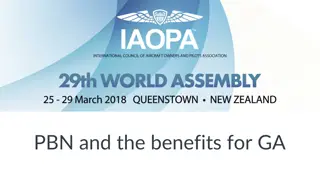
Performance Based Navigation (PBN) Benefits for General Aviation
Performance Based Navigation (PBN) offers significant benefits for General Aviation, enhancing operational efficiency, route options, and airspace capacity. Through RNAV and RNP specifications, PBN provides improved on-board alerting and monitoring, potentially reducing reliance on ground-based nava
7 views • 13 slides
Challenges in Land Allocation and Administration by Traditional Authorities and Communal Land Boards
The Communal Land Reform Act of 2002 introduced Communal Land Boards to assist Traditional Authorities in land administration. However, challenges such as misconceptions of powers, limited technical capacity, inadequate resources, and unclear procedures have hindered smooth registration and resoluti
0 views • 15 slides

Implementing In-App Navigation with Jetpack's Architecture Components
Discover how to easily implement in-app navigation using Jetpack's Navigation components. Learn to create a navigation graph, connect fragments, pass data, and set up your project efficiently. Check out essential steps like setting up dependencies, creating the navigation graph, and transitioning be
2 views • 16 slides
Update Reports: Baroka Ba Nkwana, Bakoni-Ba-Mmamaro CPA, and Enquiry from Mr. C. Mathebe Presentation to the Portfolio Committee on Agriculture, Land Reform, and Rural Development
This report provides updates to the Portfolio Committee on Agriculture, Land Reform, and Rural Development regarding Mr. Collen Mathebe's matter, Bakoni-Ba-Mmamaro CPA, and Baroka Ba Nkwana Land Claim. Mr. Mathebe's issue cannot be resolved through the Land Title Adjustment Act, and alternative opti
0 views • 38 slides
Land Governance in Malawi: Challenges and Progress
Malawi's land governance system has evolved significantly since the colonial era, with a framework that includes institutional and legal aspects. The country has faced challenges in managing land disputes, valuation, taxation, and public land use. The institutional setup involves the central governm
0 views • 23 slides
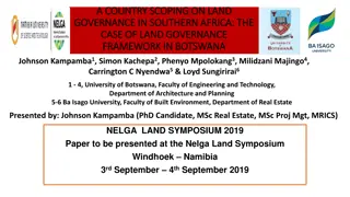
Land Governance Framework in Botswana: A Country Scoping Study
Botswana, a landlocked middle-income country in Southern Africa, faces challenges such as high population growth, unemployment, poverty, and a less skilled workforce. This study examines the land governance framework in Botswana, focusing on key challenges in land administration, dispute resolution,
0 views • 15 slides
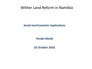
Implications of Land Reform in Namibia: Social and Economic Insight
Land reform in Namibia is crucial for inclusive growth and shared prosperity, with access to land being a key factor. Productive land usage can lead to wealth creation and social development. The importance of agriculture in the economy is highlighted, along with the need for skilled farmers and a s
0 views • 7 slides

Enhancing Land Degradation Neutrality Targets in Lebanon's National Action Programme
Integrating LDN targets into Lebanon's National Action Programme, led by Dr. Chadi Mohanna, aims to align the NAP with the UNCCD's 10-Year Strategy, set national targets for Land Degradation Neutrality, and implement measures to combat land degradation aggravated by climate change. The project focus
0 views • 23 slides
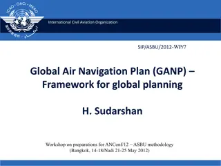
Global Air Navigation Plan Framework Overview
The International Civil Aviation Organization (ICAO) is developing a revised Global Air Navigation Plan (GANP) to enhance global planning mechanisms. The plan includes strategic documents for regional and national air navigation infrastructure planning, with a focus on CNS/ATM systems and discipline
1 views • 19 slides
Practical Electronics Offshore Navigation Homework Solutions
Learn to plan and optimize an offshore voyage using VPP2 and OpenCPN, understand AIS benefits, download necessary charts, create routes, and analyze weather data for safe navigation. Practical exercises guide you in planning cruises from convenient points to dream destinations, like New Haven, CT, t
0 views • 12 slides
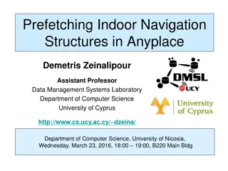
Revolutionizing Indoor Navigation: Anyplace IIN Service by Demetris Zeinalipour
Demetris Zeinalipour's groundbreaking work focuses on revolutionizing indoor navigation with the Anyplace Internet-based Indoor Navigation (IIN) Service. With a strong emphasis on modern localization technologies and a wide range of indoor applications, this service aims to enhance user experiences
2 views • 50 slides
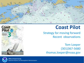
Coast Pilot Strategy for Enhanced Navigation Services
Recent observations and directives from Tom Loeper at the Office of Coast Survey, National Oceanic and Atmospheric Administration, highlight the need for developing new services to complement digital charts and electronic navigation. The focus is on providing navigation regulations, safety-related r
0 views • 14 slides
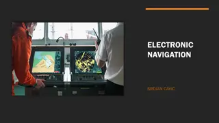
Exploring Electronic Navigation Technologies
Electronic navigation technologies, such as satellite navigation, radio navigation, and radar navigation, utilize electricity-powered systems for precise positioning and tracking. Satellite navigation systems rely on signals from satellites for autonomous geo-spatial positioning, while radio navigat
0 views • 9 slides
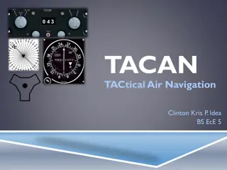
Understanding TACAN: Tactical Air Navigation System Overview
TACAN, Tactical Air Navigation, is a precise navigation system used by military aircraft, providing distance and bearing information from ground stations. It offers more accuracy than VOR-DME systems, catering to both military and civil aviation needs. Through TACAN equipment, pilots can determine t
1 views • 15 slides
Practice Cruise Underway - Global Navigation
This content pertains to a practice cruise underway for global navigation, focusing on celestial positioning techniques, GPS usage, maintaining written logs, and traditional positioning methods. The navigator plans to rely on both electronic and manual methods for navigation, ensuring preparedness f
0 views • 48 slides
Overview of the Mizoram Land Revenue Act, 2013
The Mizoram Land Revenue Act, 2013 replaced several previous regulations and came into effect on June 1, 2013. It establishes authorities for land management, outlines control and powers over land, and provides guidelines for land allotment for specific purposes. The Act designates the Government of
0 views • 18 slides

Understanding Longitude and its Significance in Navigation
Longitude plays a crucial role in determining location on the Earth's surface, helping sailors and navigators pinpoint their positions accurately. It involves the angular distance east or west of the Prime Meridian located in Greenwich, England. By using precise timekeeping and astronomical observat
0 views • 16 slides
Update on Northeast Land Transfers: Presentation to Roundtable Members
Ministry of Indigenous Relations and Reconciliation provided an update on land transfers in Northeastern British Columbia, focusing on Treaty Land Entitlement, stakeholder engagement, and communication methods. The presentation highlighted the historical land debt, final settlement agreements, and t
0 views • 8 slides
Implementation of Performance-Based Air Navigation Plan for SAM Region - Management of Navigation Service Personnel Competence
Seminar/workshop held in Lima, Peru in May 2011 focused on implementing the Performance-Based Air Navigation Plan for the SAM Region, emphasizing the management of navigation service personnel competence. The event highlighted the importance of training, awareness, infrastructure, budget, work envir
0 views • 6 slides
Understanding Different Types of North in Land Navigation
Discover the distinctions between True North, Grid North, and Magnetic North in land navigation. Learn about the Grid Magnetic Angle and Magnetic Variation, essential concepts for converting bearings on a map. Explore the relevance of these elements in orientation on Ordnance Survey Maps. Visual aid
0 views • 8 slides
Land Reform in the Context of Devolution in Kenya
Kenya, with a land area of 582,646 sq. Km, has undergone land reform in the context of devolution since gaining independence in 1963. The country's adoption of the Constitution in 2010 led to the establishment of a system with 1 national government and 47 devolved governments. Kajiado County, inhabi
0 views • 33 slides

Importance of Land Records in Preventing Land Disputes
Land records play a crucial role in documenting ownership, facilitating land-related transactions, and preventing costly litigation. They serve as a lifeline for effective governance and provide legal status to landowners, ensuring clarity and transparency in land ownership. Without proper land reco
0 views • 15 slides
Impact of Land Policies in Georgia: Headright System, Land Lotteries, and Yazoo Land Fraud
Georgia pursued various land policies post-Revolutionary War to allocate land obtained from Native Americans. The headright system granted land to soldiers and white men, aiming to boost population and state power. Land lotteries distributed land through random draws. The Yazoo land fraud scandal ta
0 views • 20 slides
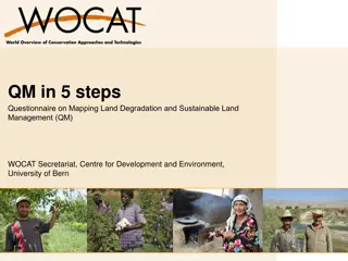
5 Steps Questionnaire on Mapping Land Degradation and Sustainable Land Management
Preparation for mapping land degradation and sustainable land management involves steps such as preparing the base map, identifying contributing specialists, assessing land use systems, understanding land degradation types, and providing expert recommendations. The process includes analyzing area tr
0 views • 32 slides
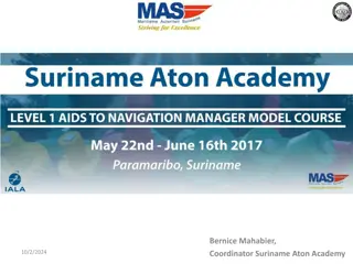
Suriname Aton Academy - Providing Training for Aids to Navigation
The Suriname Aton Academy, established by the Maritime Authority of Suriname and accredited to deliver Aids to Navigation training, aims to enhance the knowledge and expertise of personnel responsible for navigation safety. Through its unique offerings and primary goals, the academy plays a crucial
0 views • 13 slides
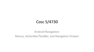
Understanding Android Navigation: Menus, ActionBar/ToolBar, and Navigation Drawer
Explore the functionalities of ActionBar/ToolBar, menus, and navigation drawer in Android development. Learn about the transition from ActionBar to ToolBar, implementing multiple toolbars, and utilizing the Navigation Drawer layout for effective navigation in your app.
1 views • 53 slides
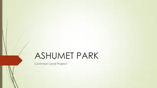
Ashumet Park Common Land Project Overview
The Ashumet Park Common Land Project aims to transform Lot 8 into a multi-use community area in Ashumet Valley. The project includes three phases: Land Survey, Land Clearing, and Grass Installation. Phase 1 involved conducting a land survey, while Phase 2 focused on land clearing by removing trees a
0 views • 7 slides
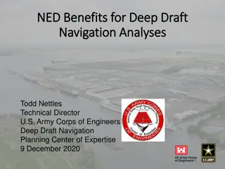
Understanding Deep-Draft Navigation Economic Analyses
This presentation discusses the requirements and procedures for conducting economic analyses in deep-draft navigation, particularly focusing on the National Economic Development (NED) criteria. It covers concepts, procedural steps, historical/existing conditions, sources of navigation and data, and
0 views • 12 slides

Native Land Stewardship: Path to Climate Equity
Stephanie Leon-Rodriguez presents a proposal focused on promoting land back initiatives, including federal support programs like the Land Buy-Back Program for Tribal Nations and conservation easements. State support through initiatives like the Mass Conservation Land Tax Credit Program is also highl
0 views • 13 slides