Coast Pilot Strategy for Enhanced Navigation Services
Recent observations and directives from Tom Loeper at the Office of Coast Survey, National Oceanic and Atmospheric Administration, highlight the need for developing new services to complement digital charts and electronic navigation. The focus is on providing navigation regulations, safety-related recommendations, and authoritative overlays for marine protected areas, no discharge zones, speed zones, and fisheries regulations. The aim is to enhance the current Coast Pilot with user-focused information and eliminate outdated practices, ensuring effective maritime navigation.

Download Presentation

Please find below an Image/Link to download the presentation.
The content on the website is provided AS IS for your information and personal use only. It may not be sold, licensed, or shared on other websites without obtaining consent from the author.If you encounter any issues during the download, it is possible that the publisher has removed the file from their server.
You are allowed to download the files provided on this website for personal or commercial use, subject to the condition that they are used lawfully. All files are the property of their respective owners.
The content on the website is provided AS IS for your information and personal use only. It may not be sold, licensed, or shared on other websites without obtaining consent from the author.
E N D
Presentation Transcript
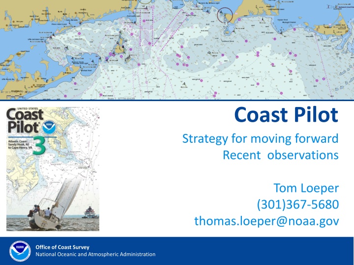
Coast Pilot Strategy for moving forward Recent observations Tom Loeper (301)367-5680 thomas.loeper@noaa.gov Office of Coast Survey National Oceanic and Atmospheric Administration
Coast Pilot Where are we now? NIPWG work is moving as planned We know we need to normalize or fix our data We don t really have the proper tools to start coding to our own standards We may not have the proper skill sets We don t know if this will work in an ECDIS environment Office of Coast Survey National Oceanic and Atmospheric Administration
Coast Pilot Inventory of what we have now. Endorsement from our leadership to continue working We do know about many of our data shortcomings and structure our data holes There are some automated tools available We do have some portrayal schemes as a starting point Office of Coast Survey National Oceanic and Atmospheric Administration
Coast Pilot My orders are to. . . Develop a new end-state for services to complement digital charts and electronic navigation. These services should include navigation regulations, safety-related navigation recommendations, and authoritative overlays for MPAs, NDZs, speed zones, and perhaps fisheries regulations. . . Office of Coast Survey National Oceanic and Atmospheric Administration
Coast Pilot My orders are to (cont.). . . . . . There should be no mention of chart numbers, since these are de-emphasized in electronic navigation. Since we have a really hard time maintaining information about specific facilities in ports, and users are successfully using other means to obtain this information, I would eliminate them. Office of Coast Survey National Oceanic and Atmospheric Administration
Coast Pilot Several important points Inventory the types of information that are in the current Coast Pilot. Using Inquiry Management System and discussions within NOAA and mariners to identify information that is not currently well served in Coast Pilot, but which users need (No Discharge Zones, MPAs, speed zones, fisheries regulations, etc) Office of Coast Survey National Oceanic and Atmospheric Administration
Coast Pilot Several important points (cont.) Identify mechanisms for dissemination of this information (in the chart, as an S-10X overlay, as a non-S-10X overlay, as a web service, in a book). Match up types of information to available dissemination mechanisms. Office of Coast Survey National Oceanic and Atmospheric Administration
Coast Pilot Several important points (cont.) Develop a plan for next-generation Coast Pilot that is a collection of authoritative overlays, web services, and publications. This plan will be disseminated for public comment. Develop a resourceable implementation plan, that includes technology, staffing requirements, and a timeline for service transition. The new services should be fully in place by 2022. Office of Coast Survey National Oceanic and Atmospheric Administration
Coast Pilot Timelines The final approved plan should be published NLT Feb 1, 2019. The implementation plan can be drafted concurrently with public review. We can begin to resource the transition and new services once we have an initial draft of the implementation plan. Office of Coast Survey National Oceanic and Atmospheric Administration
Coast Pilot What can NIPWG learn from this? SD s are still important to the Mariner Want to devote time, energy and resources Our work has a high profile and it is valuable Demanding some results Office of Coast Survey National Oceanic and Atmospheric Administration
Coast Pilot Looking ahead. Maintain information that is to some extent readable by humans Transform current information in a machine readable format More automation on ships Eventually autonomous ship Office of Coast Survey National Oceanic and Atmospheric Administration
Coast Pilot Strategies for how do we get there? Leverage completed work Work from Wilford, Briana, Korea and Anthropocene Institute Take some small first steps Inventory your information Make a list of priorities Remove information when and if possible Office of Coast Survey National Oceanic and Atmospheric Administration
Coast Pilot Strategies for how do we get there? (cont.) Try to work on web services Work on some authoritative overlays Consider non-regulated mariners We know surveys are difficult to create and results can be misleading Use these mariners as your test subjects. Office of Coast Survey National Oceanic and Atmospheric Administration
Coast Pilot Tom Loeper (301)367-5680 thomas.loeper@noaa.gov coast.pilot@noaa.gov Office of Coast Survey National Oceanic and Atmospheric Administration