Interesting Facts About Tennessee
Discover intriguing facts about Tennessee, including its capital, state flower, counties, rivers, and historical background. Explore the major rivers and grand divisions of Tennessee while learning about the Native American tribe that West Tennessee was purchased from. Test your knowledge on city divisions and explore the geographic features of Tennessee through various maps and images.
Download Presentation

Please find below an Image/Link to download the presentation.
The content on the website is provided AS IS for your information and personal use only. It may not be sold, licensed, or shared on other websites without obtaining consent from the author. Download presentation by click this link. If you encounter any issues during the download, it is possible that the publisher has removed the file from their server.
E N D
Presentation Transcript
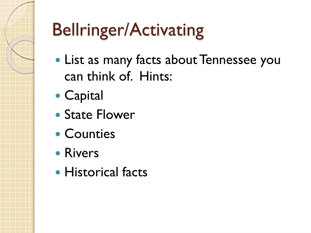
Bellringer/Activating List as many facts about Tennessee you can think of. Hints: Capital State Flower Counties Rivers Historical facts
State Standard I can identify major rivers in Tennessee.
BELLRINGER NAME THE GRAND DIVISIONS OF TENNESSEE
BELLRINGER West Tennessee was purchased from what Native American tribe?
BELLRINGER NAME THE MAJOR RIVERS OF TENNESSEE
Tennessee Geography Library Media
Bellringer Name the divisions each of these cities. 1. Memphis 2. Nashville 3. Lenoir City 4. Johnson City 5. Crossville 6. Chattanooga
Assignment Log on the Study Island Read the lesson on Economics first and then start studying. Take the test.
Bellringer If you are traveling from Murfreesboro, to Knoxville what is the relative location of Murfreesboro to Knoxville?
Tennessee Counties Tennessee county map
Tennessee Road Map map of Tennessee cities
Physical Regions of Tennessee http://www.sitemason.com/files/gx0esM/naturalregions.JPG/main.jpg
Gulf Coastal Plain http://www.sitemason.com/files/hCG892/westtn.JPG/main.jpg Gulf Coastal Plain. The entire western third of the state is considered Gulf Coastal Plain. This is where the elevation of the state is lowest and the land is flattest. http://www.sitemason.com/files/gx0esM/naturalregions.JPG/main.jpg
Highland Rim Highland Rim Middle Tennessee is divided into two regions. The outer ring of Middle Tennessee is considered the Highland Rim http://www.sitemason.com/files/gx0esM/naturalregions.JPG/main.jpg
Central Basin http://www.sitemason.com/files/gx0esM/naturalregions.JPG/main.jpg The Central Basin is slightly lower than and completely surrounded by the Highland Rim Hard to see; however, if traveling from Interstate 24 to Chattanooga, you will notice how it is in Rutherford County. But when you to go Coffee County You will go slightly uphill for a few miles. That is where the Central Basin becomes the Highland Rim.
Cumberland Plateau As you ride from west to east through Tennessee, you suddenly go WAY up elevation wise at the Cumberland Plateau, a rugged upland region that extends from the Kentucky border in the north to the Georgia and Alabama border to the south. If you are heading east on Interstate 40, which connects Nashville to Knoxville, you move upward into the Cumberland Plateau right after you pass Cookeville. If you head east on Interstate 24, you ascend into the Cumberland Plateau right before you get to Sewanee and Monteagle.
The Cumberland Plateau http://www.sitemason.com/files/gx0esM/naturalregions.JPG/main.jpg
The Great Valley of Tennessee http://www.sitemason.com/files/gx0esM/naturalregions.JPG/main.jpg
Great Valley is a series of valleys divided by ridges and low hills that runs through most of east Tennessee. The Tennessee River is formed in this region, where the Holston and French Broad come together near the city of Knoxville. Other cities located in the Valley and Ridge area are Chattanooga, Maryville, Bristol and Cleveland. http://www.sitemason.com/files/gx0esM/naturalregions.JPG/main.jpg
Unaka Mountains The Unaka Mountains run all the way along Tennessee's border with North Carolina. And, just to be clear, the Great Smoky Mountains are sort of a "subset" of the Unaka Mountains. Within Tennessee, the "Great Smoky Mountains" only refers to the parts of the Unaka Mountains within Blount, Sevier, and the southern tip of Cocke counties.
Cotton in West Tennessee West Tennessee's soil and climate are great for growing cotton. Because of this, West Tennessee evolved into the part of the state most dominated by large farms, once known as plantations. These plantations had many African-American slaves. Therefore, to this day, West Tennessee has a higher percentage of African- American residents than the other two Grand Divisions. http://www.sitemason.com/files/gx0esM/naturalregions.JPG/main.jpg
Assignment Go to the North Middle Website, classrooms, Special Areas, Liles, then find Classrooms- Library Special Area class. Find Grand Divisions of Tennessee document. Use this website http://www.tnhistoryforkids.org/geograph y/m_2
Rivers of Tennessee http://www.tnhistoryforkids.org/geograph y/m_2
