Insights on High-Resolution Earth Data at 21km Intervals
New data at 21km resolution provides a comprehensive view of various parameters including frequency averages, brightness temperatures, water vapor profiles, rain rates, pressure profiles, and temperature estimates. The files are now on a consistent 21km grid, reflecting the intent to capture temperature and water vapor channels at different resolutions. Nature runs for Earth Venture TC and Dome feature statistics on tracks, wind, pressure, and temperatures at different atmospheric levels.

Download Presentation

Please find below an Image/Link to download the presentation.
The content on the website is provided AS IS for your information and personal use only. It may not be sold, licensed, or shared on other websites without obtaining consent from the author. Download presentation by click this link. If you encounter any issues during the download, it is possible that the publisher has removed the file from their server.
E N D
Presentation Transcript
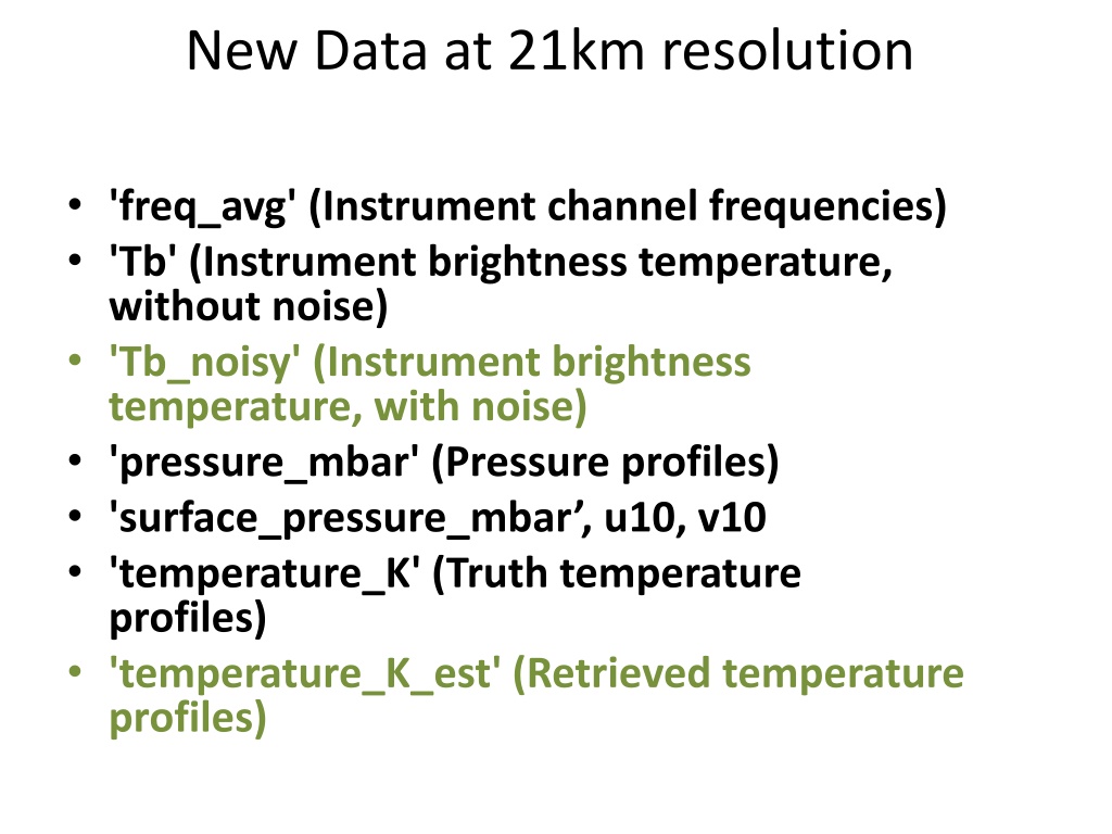
New Data at 21km resolution 'freq_avg' (Instrument channel frequencies) 'Tb' (Instrument brightness temperature, without noise) 'Tb_noisy' (Instrument brightness temperature, with noise) 'pressure_mbar' (Pressure profiles) 'surface_pressure_mbar , u10, v10 'temperature_K' (Truth temperature profiles) 'temperature_K_est' (Retrieved temperature profiles)
'qvapor_g_m3' (Water vapor profiles, truth) 'qvapor_g_m3_est' (Water vapor profiles, retrieval) 'rain_surface_mm' (Surface rain rate, truth: Units are mm/5s 'rain_surface_mm_est' (Surface rain rate, retrieval: Units are mm/5s
New Data at 21km - All files are now on what was previously called the "21 km" grid. The intent before was to capture the idea that the temperature channels have different resolution than the water vapor channels. That is still reflected here in the sense of the blurring of those channels with a larger kernel than the others, but that is applied before the sampling. All channels are now sampled with the same grid spacing. This should be more straightforward and more accurately reflects our intent. - To answer a question that came up: This "grid" is meant to be a proxy for a set of virtual beams that would be sampling this region from the proposed instrument. square-shaped beams sampling the original domain via block averaging are meant to simplify this simulation but provide a reasonable representation of what the instrument would be capable of. Nadir-looking geometry and
Nature run for DOME Earth Venture TC Stats track
Nature run for DOME Earth Venture TC Stats Wind
Nature run for DOME Earth Venture TC Stats Pressure
Nature run for DOME Earth Venture Temperatures D02 avg at 850mb
Data Location (21 km) 0802 00z storm center at 17.5N 43.4W
Data Location (21km) 0802 00z storm center at 17.5N 43.4W
Statistics on 08/02 00z RMS per layer Number of points assimilated per layer .No Data was rejected, all points 23x23x60 (31740) were assimilated .A total of 31882 points assimilated BIAS per layer


")
")