Understanding Air Masses and Fronts in Weather Systems
Explore the concept of air masses, their characteristics, source regions, classification, and global distribution. Learn how air masses and fronts influence weather systems, affecting temperature, moisture, and atmospheric pressure. Gain insights into the different types of air masses in North America and their impact on weather patterns.

Download Presentation

Please find below an Image/Link to download the presentation.
The content on the website is provided AS IS for your information and personal use only. It may not be sold, licensed, or shared on other websites without obtaining consent from the author. Download presentation by click this link. If you encounter any issues during the download, it is possible that the publisher has removed the file from their server.
E N D
Presentation Transcript
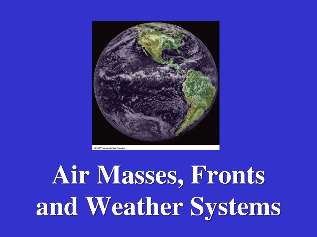
Air Masses, Fronts and Weather Systems
Again, Lets Recall the 5+ Basic Elements of the Atmosphere -- Also called Elements of Weather and Climate Solar Energy Temperature Pressure Wind Precipitation In this segment, we ll discuss the last of these elements: + Air Masses (and Fronts) Movements of Air Masses and Fronts are vital to understanding and prediction of Weather Systems our Weather Forecasting requires that we understand: Cyclones (L=Lows) and Anticyclones (H=Highs) Air Masses and Fronts
What is an Air Mass? A large body of air with similar temperature and/or humidity Occupies thousands of square miles of the Earth s surface, and can be several miles high Born in a source region where they acquire their temperature and moisture characteristics Source Regions Stable source regions are generally in the subtropics or near to the poles They are often regions of low relief and calm wind that prevent turbulent mixing and allow the air to take on the conditions of the surface over which it forms
Areas dominated by high pressure serve as good source regions; enables the air to move outward Air Masses are Classified According to: 1. Surface of source region [Identified by lower case letters, c and m] with associated Moisture characteristics Continental (c) Forms over land dry Maritime (m) Forms over ocean moist 2. Latitudinal extent of source region [Cap letters, E, T, P and A] with associated Temperature characteristics Equatorial (E) Very low latitudes warm Tropical (T) Low latitudes warm Polar (P) High latitudes cold Cold Arctic (A) Poles very cold
Air Masses are thus identified by letter codes, indicating their moisture and temperature characteristics, and their sources regions Continental Arctic (cA), typically extremely cold and dry. Continental Antarctic (cAA), also exceedingly cold but drier than its arctic counterpart as its source region is a continent. Continental Polar (cP), considered cold and dry but warmer than the arctic air mass to its north. Continental Tropical (cT), originates in the great desert areas of Earth (e.g., Sahara, Arabian, and Australian). -- extremely low humidity is due to the lack of available water.
Maritime Polar (mP), cool and moist; brings mild weather to coastal locations. Maritime Tropical (mT), warm and moist; responsible for much of the precipitation east of the Rocky Mountains. Maritime Equatorial (mE), form near the equator; very warm and humid; convection and convergence of these in the ITCZ responsible for heavy rainfalls in the equatorial rainforests. The North American region is affected by the first five types of air mass (cA, cP, cT, mP, mT -- See Map) Note: often a lower case k or w may be added to air mass names to indicate if they are colder (k) or warmer (w) than the surface below; e.g., mTk or mTw may suggest stability or instability in the air mass.
What is a Front? Fronts are boundaries that separate air masses Where air masses meet and do not mix.
4 Types of Fronts: Cold Front Warm Front Stationary Front Occluded Front
Note: The direction the teeth or the bumps face is the direction the front is moving
Cold Front When a fast moving cold air mass runs into a slow moving warm air mass and the thicker cold air slides under the lighter warmer air.
COLD FRONT Cold air displaces warm air upward Much steeper than warm fronts Advances faster than a warm front Violent weather Cumulonimbus clouds, thunderstorms, tornadoes, hail, short, sharp showers
Warm Front When a moving warm air mass collides with a slowly moving cold air mass and the warm air moves over the cold air.
WARM FRONT Warm air replaces cold Gentle slope (1:200) Covers a wide area with its weather Stratus clouds get lower as front approaches Drizzle or steady rain
Stationary Front When a cold air mass and warm air mass meet, but neither air mass has enough force to move the other air mass.
STATIONARY FRONT Cold and warm air masses next to each other Neither air mass advances Areas under them experience clouds, drizzle and rain (even possible thunderstorms) for several days
Occluded Front When a warm air mass is caught between two cooler air masses and the thicker cold air masses move underneath the thinner warm air mass and push it upward.
OCCLUDED FRONT Faster-moving cold front overtakes a warm front usually occurs in the latter stages of a mid-lattitude cyclone Lifts all the warm air off the ground Clouds and rain possible
Which types of Fronts and Weather Systems can you find on this map? Weather Reports
Daily Weather Map: Map Interpretation and Weather Forecasting
Daily Weather Map from February 4, 2019 1. What are the highest and lowest values for isobars on this map? Highest ________ Lowest ________ mb. 2. Where is the pressure gradient the steepest? __________________________________________________ 3. What different types of front do you see on this map? ___________________________________________ 4. What kind of air mass is dominating much of Canada and north-central U.S.? _________________________ 5. Which part of the U.S. is currently enjoying clear skies and rain-free weather? ________________________ 6. How would you describe the weather condition in Northern California? _____________________________ 7. How and why would you expect the weather to change in Los Angeles area in the next few hours and days? 8. Why do you think Texas may experience rain in the next hours and days? ____________________________


, cool and moist; brings mild weather to")
, cool and moist; brings mild weather to")