Understanding Globe: Latitudes and Longitudes in Geography
The globe, a true model of the Earth, represents the planet's shape and features. Learn about latitudes, equator, important parallels, and the heat zones of the Earth. Discover the merits and demerits of using a globe, its different sizes, and uses. Understand how latitudes and longitudes help in locating places accurately on the Earth's surface.

Download Presentation

Please find below an Image/Link to download the presentation.
The content on the website is provided AS IS for your information and personal use only. It may not be sold, licensed, or shared on other websites without obtaining consent from the author. Download presentation by click this link. If you encounter any issues during the download, it is possible that the publisher has removed the file from their server.
E N D
Presentation Transcript
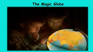
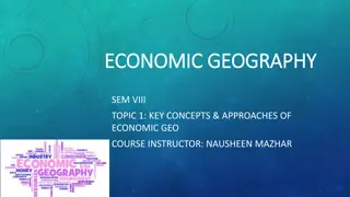
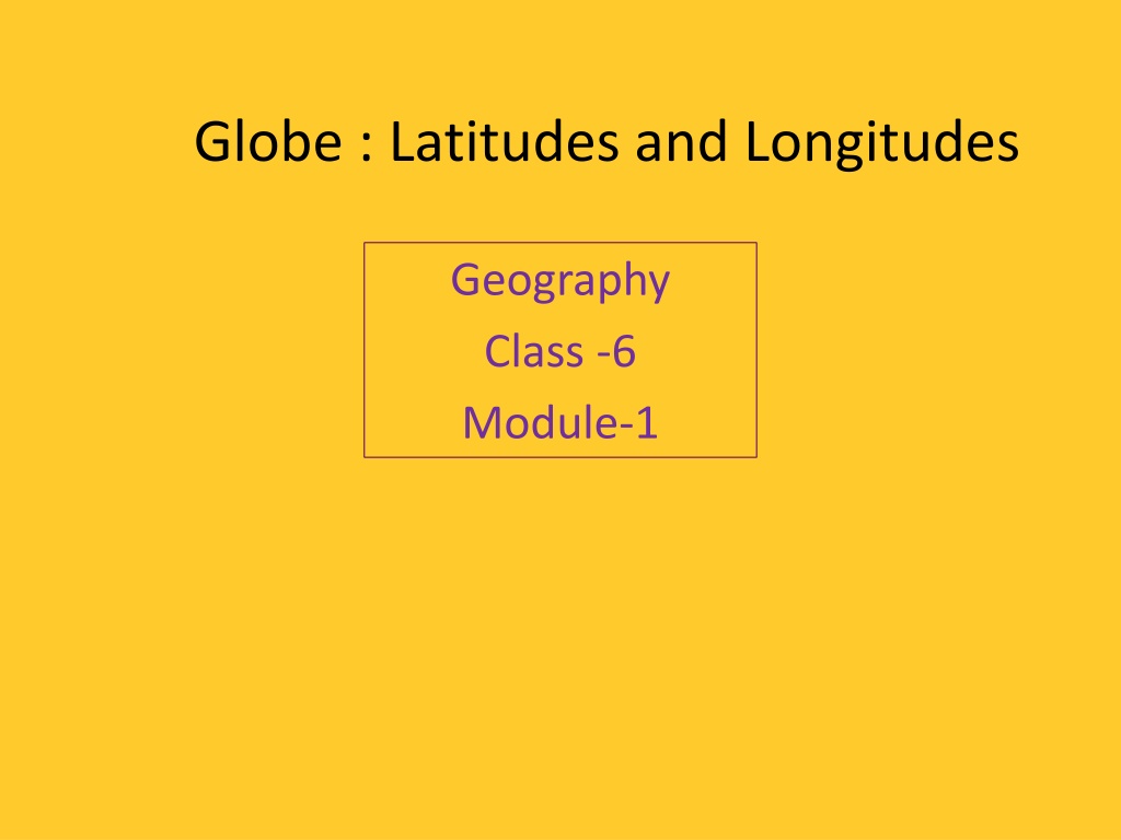
Globe : Latitudes and Longitudes Geography Class -6 Module-1
Topics to be covered Globe definition, uses, merits and demerits Axis Latitudes Equator Parallels of latitude Important parallels of latitude Heat zones of the Earth Complete the following
GLOBE We all live on the Earth surface. But do you know its shape? It is just like a globe, which means slightly flattened at the North and South poles and bulge in the middle. Globe is a true model of the Earth.
Globe is of different size and types Big One ( cannot be carried easily) Small One(Can be carried easily) Uses of a Globe We can see different Countries ,Continents and Oceans in their correct size. Distances and Directions are represented.
Merits and Demerits of the Globe Demerits Difficult to carry. Only a part of the Earth can be seen. Merits It is not a fixed one. It can be rotated. A needle is fixed through the Globe in a tilled manner, which is called its Axis. But ,the real Earth has no such needle. It moves around its axis, which is an imaginary line.
Latitude: - An imaginary line that runs horizontally across the surface of the Earth. Equator:- An imaginary line running on the globe. It is a circle that cuts the Earth into two equal halves or hemispheres. It represents the 0 latitude.
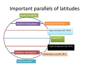
Parallels of Latitudes All the parallel circles from the equator to the poles are called parallels of latitudes. Latitudes are measured in degrees.
Important Parallels of Latitudes S.no Degree Latitude 90 N 1 North pole 66 N 2 Arctic Circle 23 N 3 Tropic of Cancer 0 4 Equator 23 S 5 Tropic of Capricorn 66 S 6 Antarctic Circle 90 S 7 South Pole
Heat Zones of the Earth S.no Zones Latitudes Climate 1 Torrid Zone Between Tropic of Cancer and the Tropic of Capricorn High temperature throughout the year 2 Temperate Zone a. North Temperate Zone: Between the Tropic of Cancer and the Arctic Circle b. South Temperate Zone: Between the tropic of Capricorn and the Antarctic Circle Moderate temperature 3 Frigid Zone a. North Frigid Zone: Between the Arctic Circle and the North Pole b. South Frigid Zone: Between the Antarctic Circle and the south Pole Very cold
Complete the following: 1. What is the true shape of the Earth? 2. What is the latitudinal value of the Tropic of Cancer? 3. What are the three heat zones of the Earth? 4. Differentiate between the Torrid zone and Frigid zone. 5. Write a short note on the Equator. 6. Activity : Draw a diagram of the Earth showing its axis, the Equator, Tropic of Cancer and Tropic of Capricorn, Arctic and Antarctic Circles.