Understanding Earth's Geography: A Visual Presentation for Grades IV & V
Explore the wonders of the Earth with this engaging visual presentation designed for grades IV & V. Learn about globes, continents, oceans, important latitudes, longitudes, and key features of the Earth's surface. Discover the North Pole, South Pole, Equator, Northern Hemisphere, Southern Hemisphere, and more in an educational journey through geography.

Download Presentation

Please find below an Image/Link to download the presentation.
The content on the website is provided AS IS for your information and personal use only. It may not be sold, licensed, or shared on other websites without obtaining consent from the author. Download presentation by click this link. If you encounter any issues during the download, it is possible that the publisher has removed the file from their server.
E N D
Presentation Transcript
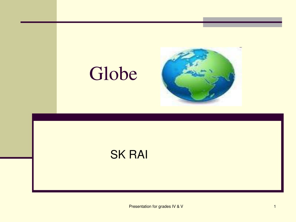
Globe SK RAI Presentation for grades IV & V 1
What is a globe ? A globe : Is a model of the earth Gives an accurate picture of the earth s surface Shows the location of places on the a smaller scale Presentation for grades IV & V 2
Earths surface 29 % of theearth s surface is land. 71% of earth s surface is covered by water. Large land masses are called continents. There are seven continents: Large water bodies are called oceans. There are five oceans: Indian Pacific Atlantic Arctic Southern Asia Africa North America South America Europe Australia Antarctica Presentation for grades IV & V 3
Features of the earth The northernmost point of the earth is called the North Pole The southernmost point of the earth is called the South Pole An imaginary line running through the centre of the earth and joining the north and south pole is called the Axis of Rotation Presentation for grades IV & V 4
Features of the earth An imaginary line running through the centre of the earth and dividing it into two equal parts is called the Equator. The area north of the equator is called the Northern Hemisphere The area south of the equator is called the Southern Hemisphere Presentation for grades IV & V 5
Longitudes and Latitudes Imaginary lines run from the North Pole to the South Pole. These are called Longitudes. Imaginary lines run parallel to the equator and are called Latitudes. Presentation for grades IV & V 6
Important Latitudes Arctic Circle at 66.5 degree north Tropic of Cancer at 23.5 degrees north Equator at 0 degree Tropic of Capricorn at 23.5 degrees south Antarctic Circle at 66.5 degree south Presentation for grades IV & V 7
Longitudes Imaginary lines run from the North Pole to the South Pole. These are called Longitudes or Meridians The imaginary line that divides the earth into two equal halves- East and the West is called the Prime Meridian The prime meridian passes through Greenwich and is called the Greenwich Meridian Presentation for grades IV & V 8
Rotation The earth spins on its axis from west to east causing day and night. Presentation for grades IV & V 9
Earth Grid The latitudes and the longitudes form a grid or a network on the earth s surface called the earth grid Presentation for grades IV & V 10
Earth Grid Locating placeswith the help of the earth grid: Presentation for grades IV & V 11
Locating places using the grid. Delhi is located at 28.38 N and 77.12 E. 28.38 N means 28.38 degrees latitude, north to the equator, and 21.42 E means 21.42 degrees longitude, east to the prime meridian. Locate the latitude and the longitude on the margins of the map, and draw line extending from these points. The point where these two lines meet on the grid gives us the location of Delhi. Presentation for grades IV & V 12
Delhi located at 28.38 N and 77.12 E 77.12 E 28.38N Presentation for grades IV & V 13
Questions 1. Fill in the blanks. 2. The earth is 3. Imaginary lines that run parallel to the equator are called 4. A small model of the earth is called the . 5. A network between the latitudes and the longitudes is called in shape. . Presentation for grades IV & V 14