Unstable Weather Alert: Tropical System Impact and Shear Line Approaching

Tropical system passing north, bringing heavy rainfall and unstable air. Expect convective showers, tailwinds on landing, and shifting precipitation patterns. Concerns about tropical showers, moisture levels, and shear line impact on landing and takeoff conditions. Images of weather situations provided for better understanding.

Download Presentation

Please find below an Image/Link to download the presentation.
The content on the website is provided AS IS for your information and personal use only. It may not be sold, licensed, or shared on other websites without obtaining consent from the author. Download presentation by click this link. If you encounter any issues during the download, it is possible that the publisher has removed the file from their server.
E N D
Presentation Transcript
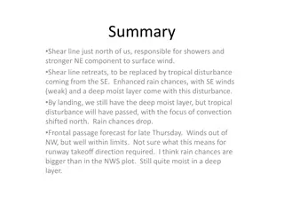
Met Brief, 20140122 Tropical system has just passed us heading north. Twice January rainfall in just 2 days. Some convective showers possible tomorrow in unstable air. Weak tail winds on landing (10Z). Drying at upper levels (28kft) relative to today. Friday shear line approaches, precip probabilities increase around landing time. Cross winds < 10 knots. Shear line on top of us Saturday, short showers, winds approaching 30 knot limit during the day.
Situation at 0945 this morning. We are at the edge of a system, but new ones are popping up along convergence lines to the south
Visible imagery shows convergence lines to our southwest, feeding more showers after main system passes.
Air is quite unstable to the south of us (we did have Thunder last night and this morning) 4 AM this morning, reasonable representation of precip. Had 7 inches last 48 hours, compared to 4.5 inches (climo) for all of Jan
Deep moist layer in our area extends at least to 28kft (300mb) .
My main concern about tomorrow is the unstable air, the likelihood of tropical showers. No big systems, but if we get a shower, it will last longer than the trade wind showers. Focus of precip tomorrow shifts northward as tropical system that passed through today merges with front/shear line north of us. Air in our region remains very unstable (above). TO winds are cross at ~10 knots (unless in showers) Landing get tailwinds of <10 knots.
Significant drying by tomorrow at upper levels compared to today.
Main concern Friday is approaching front/shear line at landing and associated precip TO takeoff winds < 10 knots. Landing cross winds < 10 knots. Landing early enough is probably the key to avoiding this problem.
Approaching shear line does have moisture to high altitudes. Depending on timing, could have some clouds above freezing level. Watching local weather as aircraft is in the air should allow us to deal with this.
Shear line is on top of us on Saturday. Winds down the runway, but getting into the 30 knot range. NWS forecast indicates it s OK, but getting close.