Improvements in Statistical Tropical Cyclone Forecast Models Update
This update discusses improvements in statistical tropical cyclone forecast models as part of the Year 2 Joint Hurricane Testbed Project. It covers tasks such as extended range baseline models, updating databases, and trajectory approaches for baseline models. The project aims to enhance the accuracy of track and intensity forecasts for tropical cyclones. Various tests and evaluations are conducted to compare errors and assess forecast performance.
Download Presentation

Please find below an Image/Link to download the presentation.
The content on the website is provided AS IS for your information and personal use only. It may not be sold, licensed, or shared on other websites without obtaining consent from the author.If you encounter any issues during the download, it is possible that the publisher has removed the file from their server.
You are allowed to download the files provided on this website for personal or commercial use, subject to the condition that they are used lawfully. All files are the property of their respective owners.
The content on the website is provided AS IS for your information and personal use only. It may not be sold, licensed, or shared on other websites without obtaining consent from the author.
E N D
Presentation Transcript
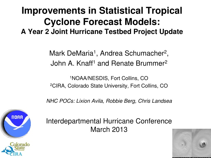
Improvements in Statistical Tropical Cyclone Forecast Models: A Year 2 Joint Hurricane Testbed Project Update Mark DeMaria1, Andrea Schumacher2, John A. Knaff1and Renate Brummer2 1NOAA/NESDIS, Fort Collins, CO 2CIRA, Colorado State University, Fort Collins, CO NHC POCs: Lixion Avila, Robbie Berg, Chris Landsea Interdepartmental Hurricane Conference March 2013
Outline Project Tasks 1. Extended range baseline models for track and intensity 2. Update of SHIPS/LGEM databases using new NCEP Climate Re-analysis 3. Extending LGEM to 7 days 4. SHIPS/LGEM specific for the Gulf of Mexico Progress so far Plans for 2013 season 2
1. New Baseline Forecast Models CLIPER and SHIFOR used as baseline for measuring track and intensity forecast skill Errors provide estimate of forecast difficulty Input to linear regression equations t = 0 h max wind, lat, lon, motion vector t =-12h max wind, lat, lon, motion vector Julian Day Output 5-day forecast of lat, lon, max wind Decay-SHIFOR modifies intensity over land using CLIPER track and climatological decay rate 3
Trajectory Approach for Baseline Models (T-CLIPER) dx/dt = u dy/dt = v (1) Estimate u,v from climatological motion vector fields Modify u,v at early times using t=0 motion vector Integrate (1) to desired time Similar approach for intensity using LGEM prediction equation with climatological input and T-CLIPER track Can be run to any forecast time until storm leaves model domain 4
Mean Storm Motion Fields from 1982-2011 Sample 5
T-CLIPER Tests Run in real time for most of 2012 season Re-runs for 2003-2011 using CARQ input Evaluation questions How do average errors compare with OCD5 to 5 days? Are annual average T-CLIPER errors correlated with NHC OFCL forecast errors? What is the error behavior beyond 5 days? 6
Comparison of T-CLIPER and OCD5 10-year Average Errors 7
Correlation of Annual OCD5 and T-CLIPER Errors with OFCL Correlate OCD5 and OFCL annual errors for 10 year sample Repeat for T- CLIPER and OFCL Plot r2 versus forecast interval Plot r2 as negative if r is negative 8
Variance of OFCL Errors Explained by OCD5 and T-CLIPER 9
10-Year Average T-CLIPER Errors Track Intensity 10
2. New Climate Reanalysis Fields New NCEP CFSR reanalysis fields obtained for 1979-2009 0.5o lat/lon grib files Current SHIPS database 1982-1999 Old NCEP reanalysis (2.5o) 2000-2011 Operational GFS analyses (2o) Inconsistency of RH and GFS vortex parameters Old reanalysis not used in RII Incomplete operational analyses used for 1989-1999 2000-2009 New, Old reanalysis and Operational analyses all available 11
Comparison of SHIPS Predictors for Different Analyses (2000-2009 Atlantic Sample) RHLO = 850-700 hPa RH RHMD = 700-500 hPa RH r=200 to 800 km GFS Vortex = 850 hPa tangential wind, r= 0 to 600 km r=200 to 800 km 12
New SHIPS Database 1979-2009: New NCEP reanalysis (1o) 2010-2012: Operational GFS analysis (1o) 2013 SHIPS, LGEM and RII will all use the same database 13
3. Seven-Day LGEM Small sample size beyond 5 days makes fitting difficult Use new formulation of LGEM that fits entire forecast at once 14 2003-2012 Sample
Comparison of Fitting Methods LGEM Equation: dV/dt = V (V/Vmpi)nV , n, Vmpi known or specified, need to find Old fitting method Solve for : = (1/V)dV/dt + (V/Vmpi)nV Calculate from best track Fit best track to predictors using least squares at each forecast period (6, 12 , 168 h) New fitting method Define cost function E = (Vfcst-Vobs)dt Find single set of coefficients to minimize E Requires adjoint of LGEM equation for fitting 15
Features of 7-Day LGEM Adjoint minimization instead of least squares fit to Need to reduce predictor set for efficiency Replace simple empirical MPI function with theoretical Bister and Emanuel (2003) formula Can incorporate SST cooling and entrainment in MPI formula Include persistence and GOES data through modification of at early times Similar to T-CLIPER approach 16
4. Gulf of Mexico LGEM Rappaport et al. (2010) showed Gulf storms have consistent behavior Gulf-specific SHIPS/LGEM may improve skill Gulf sample size very small, especially beyond 72 h Use same formulation as 7-Day LGEM Add new Gulf cases from 1979-1980 17
Plans for 2013 Hurricane Season Run standard 5-day SHIPS/LGEM Run parallel 7-day LGEM with new formulation Includes Gulf-specific version Pre-season tests Run on HFIP stream 1.5 retrospective cases 2010-2012 sample Only 2012 to 7 days since NHC track needed Run for 2008-2009 cases with recon 18
Summary T-CLIPER provides new extended range forecast baseline Errors within +8% to -5% of OCD5 to 5 days Predicts OFCL intensity error similar to OCD5 Predicts OFCL track errors better than OCD5 New NCEP reanalysis provides more consistent and higher resolution developmental sample 7-day and Gulf-specific LGEM to be run in parallel in 2013 season SHIPS/LGEM/RII being developed for W. Pacific, Indian Ocean and S. Hemisphere Acknowledgement: This NOAA Joint Hurricane Testbed project was funded by the US Weather Research Program in NOAA/OAR's Office of Weather and Air Quality 19
