Enhancing European Waterways: Good Navigation Status Initiative
The Good Navigation Status (GNS) initiative aims to improve European waterways as part of a sustainable transport system, promoting their competitive position and integration into intermodal logistics chains. European Commission guidelines outline requirements for inland waterways to meet CEMT class IV standards and maintain environmental compliance. The GNS concept, developed in collaboration with stakeholders, includes both hard and soft components, indicators, and minimum standards. Efforts focus on achieving a good navigation status through continuous improvements and adaptation to hydrology and morphology.
- European waterways
- sustainable transport
- good navigation status
- intermodal logistics chains
- environmental compliance

Download Presentation

Please find below an Image/Link to download the presentation.
The content on the website is provided AS IS for your information and personal use only. It may not be sold, licensed, or shared on other websites without obtaining consent from the author. Download presentation by click this link. If you encounter any issues during the download, it is possible that the publisher has removed the file from their server.
E N D
Presentation Transcript
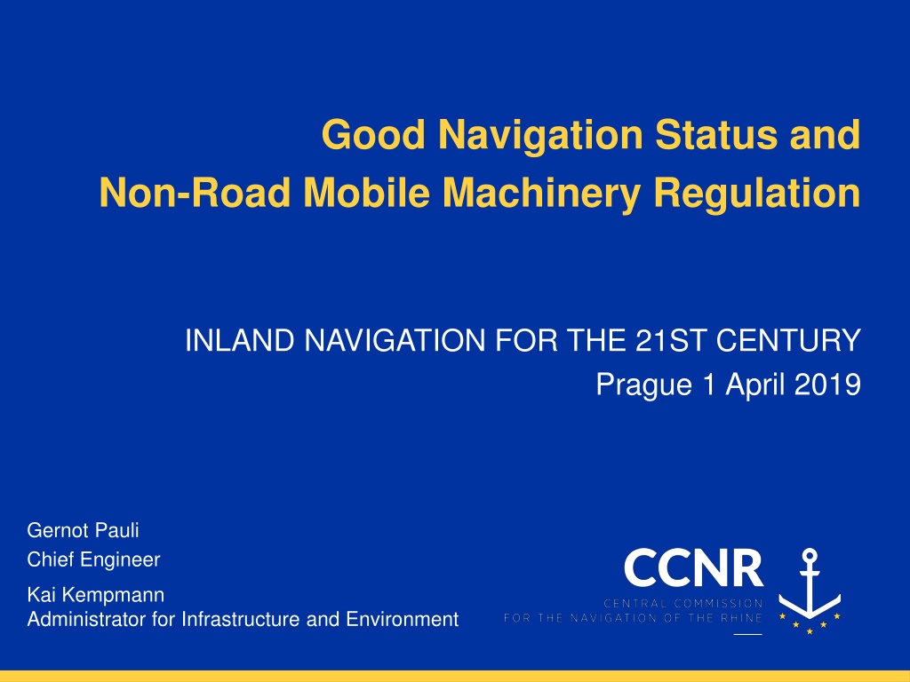
Good Navigation Status and Non-Road Mobile Machinery Regulation INLAND NAVIGATION FOR THE 21ST CENTURY Prague 1 April 2019 Gernot Pauli Chief Engineer Kai Kempmann Administrator for Infrastructure and Environment
BACKGROUND GNS Regional workshop session about Good Navigation Status, Strasbourg, 16 Sept 2016, K. Kempmann, CCNR
GOOD NAVIGATION STATUS | 1 / 10 | Background Background Good Navigation Status (GNS) Good Navigation Status (GNS) is a concept to improve the European waterways to be part of a sustainable transport system European Commission aims to promote and strengthen the competitive position of inland waterways in the transport system, and to facilitate its integration into the intermodal logistics chain
GOOD NAVIGATION STATUS | 2 / 10 | Background Background Union guidelines for the development of the trans-European transport network (EU 1315/2013, Art. 15 (3)) a) Rivers, canals and lakes comply with the minimum requirements for CEMT class IV inland waterway and there is continuous bridge clearance a) Draught not less than 2.50 m and minimum bridge clearance heights not less than 5.25 m b) Rivers, canals and lakes are maintained so as to preserve good navigation status, while respecting the applicable environmental law
GOOD NAVIGATION STATUS | 3 / 10 | Background Background Guidelines towards achieving a Good Navigation Status In 2015 the European Commission asked a consortium to further define the GNS together with the member states, river commissions and users This GNS concept comprises so called hard and soft GNS components, GNS indicators based on TENtec data and minimum standards of a process on GNS development as well as a GNS definition Results are published on the Guidelines towards achieving a Good Navigation Status* * https://ec.europa.eu/transport/modes/inland/studies/good-navigation-status-guidelines-towards-achieving-good-navigation-status_en
GOOD NAVIGATION STATUS | 4 / 10 | Background Background Second meeting of pan European Working Group on Good Navigation Status 2017 in Brussels Objectives for rivers, canals and lakes shall be adapted in light of hydrology and morphology Draught or respective fairway depth and minimum bridge clearances shall be defined in relation to a reference water level Regional navigation shall be considered in the definition of regional objectives
GOOD NAVIGATION STATUS | 5 / 10 | Background Background The correspondence group In 2017, DG MOVE suggested to the CCNR to set up a correspondence group on this matter Experts of 9 EU member states and representatives of the Danube Commission, the International Sava River Basin Commission and the Central Commission for the Navigation of the Rhine participate Output of the correspondence group and individual statements by the group or its members express expert opinion and not official positions of member states or river commissions
STATE OF WORK GNS
GOOD NAVIGATION STATUS | 6 / 10 | Background Preliminary proposal by the correspondance group Development of proposals for appropriate objectives for rivers and canals: Proposal for a GNS comprises 3 different types GNS A, GNS B and GNS C These 3 GNS are considered equal in terms of quality of navigation infrastructure Based on the idea, that today at most European rivers, maximum depth is already realized for all kinds of navigation conditions
GOOD NAVIGATION STATUS | 7 / 10 | Background Preliminary proposal by the correspondance group Development of proposals for appropriate objectives for rivers and canals: Takes into account local differences in surface water characteristics and particularly in hydro-morphology Recognizes already existing regional, national and international stipulated waterway parameters Recognizes existing uses of waterways and traffic density as well as regional differences in markets such as bulk and container traffic
GOOD NAVIGATION STATUS | 8 / 10 | Background Preliminary proposal by the correspondance group GNS on free-flowing and impounded river sections: Good Navigation Status*7 Locks and movable bridges Navigable channel depth Bridge clearance Headroom*5 recommended for standard container transport [m] Reference water level*6 Reference water level4 Navigable channel depth Availability*2 Availability Availability [m] [days per year] [days per year] [days per year] Hydrostatic/ Reference low water level Highest navigable water level 365 (24/7) 345*3 GNS A 2.80 9.10 360 Hydrostatic/ Reference low water level Highest navigable water level 365 GNS B 2.50 345 7.0 360 (24/7 upon request) Hydrostatic/ Reference low water level Highest navigable water level 365 GNS C 2.10 345 5.25 360 (minimum 16 hours per day) Example: Free flowing sections: Impounded sections: GNS AA GNS ABA
OUTLOOK GNS
GOOD NAVIGATION STATUS | 9 / 10 | Background GNS SUB-GROUP Sub-group on Good Navigation Status (GNS sub-group) set up under the Expert Group on Inland Waterway Transport (NAIADES II Implementation Group): Task 1: Assess the relevance, effectiveness, efficiency, added value and coherence of the requirements for inland waterways set up in the relevant regulations. Task 2: Formulate adequate requirements for IWW taking into account the different characteristics of waterways and propose recommendations for the future policy on TEN-T. Task 3: Formulate proposals for the definition of GNS and development of common, harmonized guidelines/standards for GNS, including instruments for its monitoring.
Non-Road Mobile Machinery (NRMM)
New emission regulations introduced by NRMM Regulation | 10 / 10 | NRMM. Approach is driven by placing on the market of engines => type-approval certificate Regulation (EU) 2016/1628 Stage V: new engines categories (IWP/IWA) mandatory by 2019/2020 + exception of transition scheme (at the latest by 2022) Alternative solutions: NRE, EURO VI or alternative fuels (environmental and economic benefits) Technologies available. Commercial products (stage V) will follow (new products announced very recently by manufacturers) Existing engine + after treatment system => can achieve similar performance as Stage V (but is not legally recognised as Stage V!) NRMM ES-TRIN (Chapter 9) : Safety requirements for installation of engines on board. Approach is driven by periodic inspection of the vessel => vessel certificate To help understand and interpret the applicable requirements to engines => FAQ document published by EUROMOT and CESNI (March 2019) www.cesni.eu/en/technical-requirements/ 15
THANK YOU FOR YOUR ATTENTION Kai Kempmann Central Commission for the Navigation of the Rhine (CCNR) Palais du Rhin - 2, place de la R publique CS 10023 - 67082 Strasbourg Cedex - France +33 (0)3 88 52 20 06 k.kempmann@ccr-zkr.org www.ccr-zkr.org
PROPOSALS FOR APPROPRIATE GNS OBJECTIVES | ADD.3 | Characteristics Characteristics