Sustainability Challenges in Coastal Louisiana
Coastal Louisiana faces sustainability challenges due to coastal subsidence being a 4-dimensional problem with varying rates in space and time. Research by various experts highlights the complexities and risks associated with managing the sustainability of the region.

Download Presentation

Please find below an Image/Link to download the presentation.
The content on the website is provided AS IS for your information and personal use only. It may not be sold, licensed, or shared on other websites without obtaining consent from the author. Download presentation by click this link. If you encounter any issues during the download, it is possible that the publisher has removed the file from their server.
E N D
Presentation Transcript
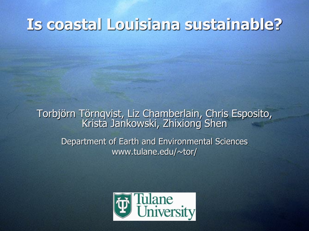
Is coastal Louisiana sustainable? Torbj rn T rnqvist, Liz Chamberlain, Chris Esposito, Krista Jankowski, Zhixiong Shen Department of Earth and Environmental Sciences www.tulane.edu/~tor/
Coastal subsidence is a 4-dimensional problem Subsidence rates vary in space, potentially over very short distances (e.g., tens of meters) Subsidence rates vary as a function of depth; the nature of this function can vary substantially across space (rates are always highest at the surface!) Subsidence rates can vary through time, depending on the driving processes
0.15 0.07 mm/yr Yu et al. (2012)
Delaware South Carolina Maine Louisiana Engelhart et al. (2009)
Published findings Regional processes deeper in the Earth s crust generally contribute relatively little to land-surface subsidence rates (typically <1 mm/yr in aggregate) Deltaic sediment loading leads to lithospheric subsidence rates in key portions of the Mississippi Delta of ~0.15 0.07 mm/yr relative to the Chenier Plain The common, long-term process that drives lithospheric subsidence throughout the Gulf of Mexico is glacial isostatic adjustment (likely within the 0.5-1.0 mm/yr range along the central US Gulf Coast)
Published findings Regional processes deeper in the Earth s crust generally contribute relatively little to land-surface subsidence rates (typically <1 mm/yr in aggregate) Deltaic sediment loading leads to lithospheric subsidence rates in key portions of the Mississippi Delta of ~0.15 0.07 mm/yr relative to the Chenier Plain The common, long-term process that drives lithospheric subsidence throughout the Gulf of Mexico is glacial isostatic adjustment (likely within the 0.5-1.0 mm/yr range along the central US Gulf Coast) Compaction of Holocene strata is likely a dominant contributor to subsidence, with millennial-scale rates up to 5 mm/yr Fluid extraction and growth faulting are potentially significant factors at the local scale and in need of major research efforts
Rod surface-elevation table marker horizon method (RSET-MH)
Mississippi Delta: 36% accretion deficit Chenier Plain: 58% accretion deficit Western Chenier Plain: 68% accretion deficit
680 30 650 40 640 30 1120 50 1090 60 1130 60 1120 40 990 50 1100 70
Wax Lake Delta Sandy deposits account for ~70% Proportion of sand in feeder channel ~20% Retention rate 20-40% Roberts (2003)
Attakapas Crevasse Splay Sand accounts for ~5% Proportion of sand from feeder channel ~5% Retention rate >75%
Total land area: 6000 km2 Period of activity: 1.6 0.6 ka Mean land area production rate: ~6 km2/yr (or ~0.13 football fields/hr) Progradation rate: 120 150 m/yr
Emerging findings The present-day rate of relative sea-level rise at the land surface is 12 8 mm/yr Shallow subsidence (likely within the uppermost 5-10 m) contributes ~60-85% to total subsidence in coastal Louisiana Mississippi Delta wetlands may keep up with relative sea-level rise (but note some caveats!) while the western Chenier Plain is in particular trouble
Emerging findings The present-day rate of relative sea-level rise at the land surface is 12 8 mm/yr Shallow subsidence (likely within the uppermost 5-10 m) contributes ~60-85% to total subsidence in coastal Louisiana Mississippi Delta wetlands may keep up with relative sea-level rise (but note some caveats!) while the western Chenier Plain is in particular trouble Delta-plain progradation over centennial to millennial timescales has built land at rates of ~6 km2/yr Crevasse splays along Mississippi Delta distributaries can sustain accretion rates of 1-4 cm/yr over decadal to centennial timescales Sediment retention efficiency is particularly high in these inland, vegetated settings and conservatively estimated at >75%
Deep subsidence rates from GPS-records 5 years in length Karegar et al. (2015)
Lithosphere elastic thickness: 96 km Upper mantle viscosity: 1x10²¹ Pa s Lower mantle viscosity: 1x10²² Pa s Wolstencroft et al. (2014)
Long-term subsidence rates in New Orleans East Edrington et al. (2008)

")
")
")


")
")
")

")

")
")
")


")
")
")
")
")


")