Coastal Monitoring and Lessons Learned in Southwest England
Southwest England's coastal monitoring efforts, including the South West Coastal Monitoring program and lessons learned from the destruction of Hallsands in 1917 due to lack of understanding of coastal processes. The monitoring involves data collection on beach profiles, bathymetry, wave patterns, and aerial photography to inform coastal defense planning. Interpretation of data such as wave rose graphs helps understand sediment transport. Aerial photos and bathymetry maps provide insights into beach conditions and underwater landscapes, aiding in scientific research and preservation efforts.
Download Presentation
Please find below an Image/Link to download the presentation.
The content on the website is provided AS IS for your information and personal use only. It may not be sold, licensed, or shared on other websites without obtaining consent from the author. Download presentation by click this link. If you encounter any issues during the download, it is possible that the publisher has removed the file from their server.

Presentation Transcript
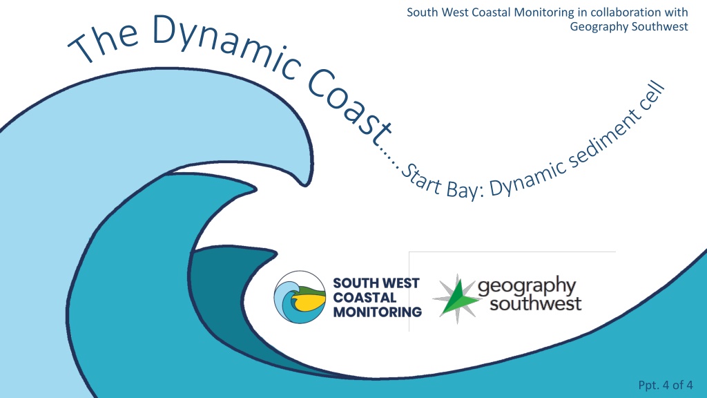
South West Coastal Monitoring in collaboration with The Dynamic Coast .. Geography Southwest Start Bay: Dynamic sediment cell Ppt. 4 of 4
Learning the lessons of Hallsands Several factors led to the destruction of Hallsands in 1917: There was a lack of monitoring and understanding of atmospheric and coastal processes. Wrong assumptions were made about the movement and accumulation of beach sediment. There was a lack of understanding of the impacts of dredging. The site chosen for the village was vulnerable. Today, coastal processes are observed, measured and recorded using scientific monitoring equipment.
South West Coastal Monitoring (SWCM) Since 2006, SWCM (formerly Plymouth Coastal Observatory) has monitored coastal processes in the South West. Scientists have collected a variety of data including: Beach profiles beach surveys to detect changes over time in beach height and width. Bathymetry seabed surveys of sediment close to the shore which indicates water depth and sediment accumulation. Wave and tidal data buoys and tide gauges provide data on wave heights and direction and tidal flows and levels. This data is used in planning coastal defences. Aerial photos high-quality aerial photography show changes in beach width and location over time.
Interpreting the data a wave rose The graph alongside is a wave rose. It shows the percentage occurrence of waves approaching Start Bay (2007-2022). Notice that Start Bay faces east. The graph shows that the dominant direction of waves is from the south. The majority of these waves are low, less than 1m in height (dark blue colours). These waves push sediment along the beach from south to north. It was a dominance of southerly winds (and waves) that were responsible for transporting sediment northwards away from Hallsands leading to the disaster in 1917. A secondary peak of waves comes from the east. Notice that these storm waves tend to be higher Easterly storms destroyed Hallsands in 1917.
Aerial photo Slapton Sands This is an aerial photo of the beach at Slapton. Notice that the photo (taken by a plane) is vertical, looking straight down at the beach. Locate the coastal road and the car parks. What do the number of cars suggest about the time of year or time of day? The photo was taken at low-tide. It s important that all photos used in scientific research are taken at the same state of the tide to enable comparisons to be made. Notice that the high-tide line is indicated by the difference in the colour of the beach. The slightly darker colour of the lower beach is that which would be covered at high tide.
Bathymetry This map shows the underwater landscape (bathymetry) of Start Bay. Bathymetry helps scientists to interpret the seafloor below low tide. It shows the depth of the water and the location of sediment deposits. Shallow water is indicated by the orange colours. Notice that the Skerries Bank shows up as a shallow underwater accumulation of sediment. The deeper water is shown by the yellow and blue colours. The deepest water is dark blue. Notice that one of the wave buoys used to measure wave height and direction is located in Start Bay.
The beach at Start Bay Start Bay is a broad 15km wide bay. It is bordered by headlands at either end Start Point to the south and Froward Point to the north. These headlands trap sediment within the bay forming the extensive beach shown on the aerial photo below.
How did the beach get here? Start Bay barrier beach at Torcross. The shingle beach at Start Bay is rather strange. It is mostly made of flint, a silica deposit found in chalk. Yet, there are no such rocks in Start Bay! So, how did the beach get here? Scientists believe that the beach is an example of a barrier beach. At the end of the last ice age, about 5,000 years ago, the melting ice caused sea level to rise. As the sea level rose, the waves bulldozed flinty sediment that had accumulated on the sea floor towards the land. This sediment rolled ashore to form today s extensive shingle beach in Start Bay.
Longshore drift Today sediment is moved along the beach by a process called longshore drift. When waves arrive at an angle to the beach, sediment is carried up the beach in the same direction as the waves. This is called swash. When the water draws back to the sea, it flows straight back down the beach carrying sediment with it. This is called backwash. In this way, sediment moves in a zig-zag pattern along the beach. This is longshore drift. In Start Bay, the dominant southerly winds (look back at the wave rose) mean that sediment is mostly moved from south to north. This explains why sediment was lost from Hallsands.
The dynamic beach The beach in Start Bay is dynamic. In response to the dominant southerly winds, longshore drift transports small sediment from south to north. When the winds come from the east, the more powerful waves transport the larger pebbles back towards the south. Over time, the beach sediment becomes sorted with smaller sediment accumulating in the north and larger in the south. The easterly waves throw sediment to the top of the beach whilst eroding the base of the beach. This makes the beach steeper. Eroded sediment is carried out to sea.
What is a sediment cell? The movement of sediment in an enclosed bay such as Start Bay forms part of a sediment cell. There are four main components of a sediment cell: Sources these can include erosion of cliffs and offshore sandbars. These are the inputs into the system. Sinks these are areas where sediment is stored for a period of time, such as beaches and sand dunes. Transport processes wind and waves are important in transporting sediment. Outputs some sediment may be lost, for example swept out to see by tidal currents.
Start Bay sediment cell This map shows the sediment cell in Start Bay. Look at the key to understand the symbols. Notice the following patterns: There is a dominant transfer of sediment (by longshore drift) from south to north. This is due to the prevailing winds coming from the south and southwest. Cliff erosion particularly in the south is a source (input) of fresh sediment. Most of the sediment in Start Bay is gravel and sand. The greatest rates of sediment flow are in the centre of Start Bay. Skerries Bank is an offshore sediment sink (store).
Why is it important to understand the sediment cell? Understanding the sediment cell is important for several reasons: The sediment cell is a largely self-contained unit with few inputs from and outputs to elsewhere. Understanding the movement of sediment is vital in planning sustainable coastal management, for sea defences, wildlife and human uses. The impacts of coastal management can be predicted, for example, preventing cliff erosion or dredging sediment. Disasters, such as at Hallsands, should never occur again through a lack of understanding of coastal processes.
References Images: https://www.scopac.org.uk/scopac_sedimentdb/start/photos/photo4.htm https://www.scopac.org.uk/scopac_sedimentdb/start/photos/photo5.htm https://upload.wikimedia.org/wikipedia/commons/thumb/f/fb/Longshore_drift.svg/640px-Longshore_drift.svg.png https://beachsearcher.com/en/beach/826201147/slapton-sands https://www.geographyalltheway.com/igcse_geography/gcse-coasts/wave_processes.htm https://www.scopac.org.uk/scopac_sedimentdb/start/photos/photo3.htm https://www.southdevonaonb.org.uk/explore-start-bay/start-point/ www.marchandpetit.co.uk https://youtu.be/G7EnyCOUOSg Some photos are courtesy of South West Coastal Monitoring
www.southwest.coastalmonitoring.org www.geographysouthwest.co.uk coastal.observatory@plymouth.ac.uk rosstrout@aol.com 01752 586155 @OfficialPCO @geographysw_ PlymouthCoastalObservatory Geographysouthwest Plymouth.Coastal.Observatory


")