Study of Watershed and Sites Suitability for Water Harvesting in Jawhar Taluka
This project aims to address water scarcity in Jawhar Taluka by studying watershed characteristics and identifying suitable sites for water harvesting structures. The methodology includes DEM analysis using QGIS Grass, watershed delineation, stream extraction, and site suitability assessment based on parameters like stream network, DEM, flow accumulation, and slope. The findings highlight potential sites for water storage structures with limitations considered from delineation models and NDVI analysis.

Download Presentation

Please find below an Image/Link to download the presentation.
The content on the website is provided AS IS for your information and personal use only. It may not be sold, licensed, or shared on other websites without obtaining consent from the author. Download presentation by click this link. If you encounter any issues during the download, it is possible that the publisher has removed the file from their server.
E N D
Presentation Transcript
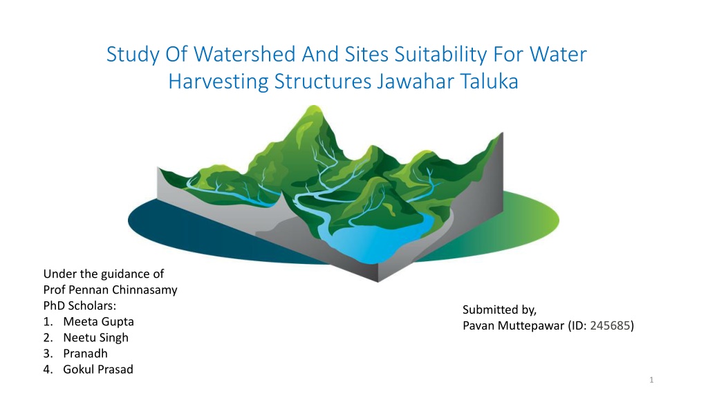
Study Of Watershed And Sites Suitability For Water Harvesting Structures Jawahar Taluka Under the guidance of Prof Pennan Chinnasamy PhD Scholars: 1. Meeta Gupta 2. Neetu Singh 3. Pranadh 4. Gokul Prasad Submitted by, Pavan Muttepawar (ID: 245685) 1
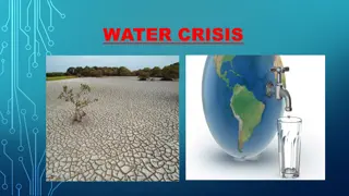
Motivation: Jawhar taluka is having precipitation above 2000mm even though at the beginning of January, many of the streams are dry and people are facing water scarcity. This project tries to study on the solution of the water crisis. Methodology for DEM: Selected QGIS Grass Files are downloaded in SRTM file Raster>Miscelleneous- Merge- Setted o/p data file same as input data file Reprojection- raster- projection, open osm For fill: Toolbox > use grass >hfill.dir- dimensionless (Used properties single band) Flow direction: (Elevation surface- flow direction then comes flow accumulation) Flow direction> r.watershed Select filldem> basin min size- 500, enabled D8> only checked accumulation and direction Flow direction absolute value. Channels in accumulation Stream extraction- used r.stream.extract> use fill dem> minimum flow o/p=5000, v.out.ogro o/p- line, Unique strea ids= stream network Delineate= I/p given is direction correction, r to vect Vector> geo-processing clip> stream network > catchment Objectives of the study: 1) Understanding the watershed of the area in water security perspective. 2) Finding Suitable sites for water storage structure in the watershed. Methodology: In order to accomplish the objective of the project following entities are calculated. 1. Watershed delineation. 2. Finding Suitable sites for water storage structure in the watershed. 2
2) Findings suitable sites for water storage structure in the watershed: Parameters Used: 1. Stream network 2. DEM 3. Flow Accumulation 4. Attempted NDVI 5. Basin 6. Slope Limitation: Approximately considered suitable sites by delineation model, attempted NDVI and observation on maps and google earth 4


 Findings suitable sites for water storage structure in")