Selecting Landing Sites for Humans on Mars: HLS2 Study Update
The Human Landing Sites Study (HLS2) aims to identify suitable landing sites for human exploration on Mars, focusing on Exploration Zones (EZs) that meet scientific, engineering, and human criteria. Leveraging data from the Mars Reconnaissance Orbiter (MRO), the study establishes a database of high-interest sites for future human missions. The HLS2 initiative, a joint effort of NASA's Human Exploration and Science Mission Directorates, involves workshops, data analysis, and planning for sustainable habitation on the Red Planet.
Download Presentation

Please find below an Image/Link to download the presentation.
The content on the website is provided AS IS for your information and personal use only. It may not be sold, licensed, or shared on other websites without obtaining consent from the author. Download presentation by click this link. If you encounter any issues during the download, it is possible that the publisher has removed the file from their server.
E N D
Presentation Transcript
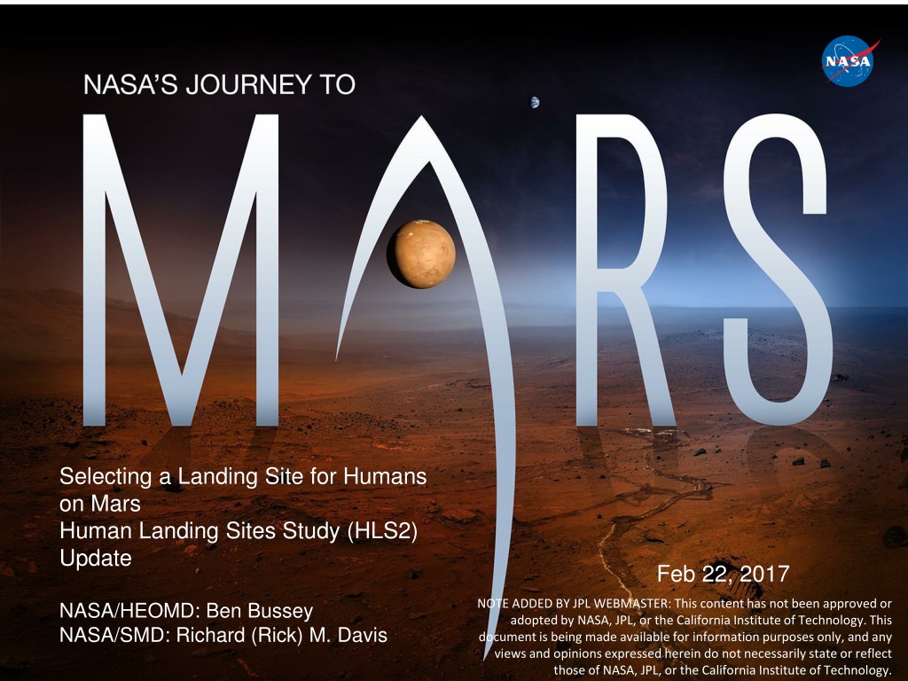
Selecting a Landing Site for Humans on Mars Human Landing Sites Study (HLS2) Update Feb 22, 2017 NOTE ADDED BY JPL WEBMASTER: This content has not been approved or adopted by NASA, JPL, or the California Institute of Technology. This document is being made available for information purposes only, and any views and opinions expressed herein do not necessarily state or reflect those of NASA, JPL, or the California Institute of Technology. NASA/HEOMD: Ben Bussey NASA/SMD: Richard (Rick) M. Davis 1
Human Landing Sites Study (HLS2) Goals Identify landing sites for human surface exploration of Mars. These landing sites provide access to Exploration Zones (EZs) which are regions on Mars that contain multiple sites of scientific interest as well as satisfying engineering and human constraints for human exploration Leverage Mars Reconnaissance Orbiter (MRO) data collection capabilities to acquire data of potential prioritized human Mars landing sites within the exploration zones Establish a database of high interest sites science and resources, which can easily be updated as we learn more about Mars and what is needed to support humans on the planet Inform future reconnaissance needs at Mars orbital and landed missions This effort is a joint Human Exploration and Operations Mission Directorate (HEOMD) / Science Mission Directorate (SMD) study 2
Exploration Zone Layout Habitation Zone Science ROI s Exploration Zone -- 200 km diameter -- Semi-Permanent Research Station Resource ROI Science ROI Resource ROI Science ROI s ROI = Regions of Interest 3
First Mars Human Landing Sites WorkshopOct 2015 400 participants representing all major disciplines supported the workshop. Representation from multiple countries. Extensive media interest/coverage. 47 highly geographically and scientifically diverse EZ proposals and 72 MRO data requests were vetted and approved. Strong agreement on the viability of the Exploration Zone approach based on EZ proposals made Starting to build an integrated community is a critical result of the workshop 4
Post Workshop Progress Approximately 55% of the approved MRO data requests have been filled since the workshop. Details on next slides. NASA is keen to get feedback from the proposers on what new information on their EZs have been learned from these new data. Mars Water ISRU Planning Study Began process of looking at viability of potential water feedstocks, in terms of both potential reserves and mass/power and operational complexity assessments. http://mepag.jpl.nasa.gov/reports/Mars_Water_ISRU_Study.pdf Workshop significantly increased the Agency s awareness of the potential of water resources at Mars to enhance human surface operations. HLS2 work has also increased the understanding that water reconnaissance and ISRU technology development are integrally tied. Since the workshop, two studies have been completed to better understand potential of water feedstocks and what it takes in the form of ISRU equipment to produce water from those feedstocks. HLS2 personnel have heavily supported efforts to define what will be needed in a next generation reconnaissance orbiter at Mars. 5
Post Workshop Progress (cont) Based on the HLS2 Workshop, a number of low cost, very promising projects are now in work to provide data which is critical to the next step in the landing site selection effort. Next Landing Site Workshop is anticipated to be Oct/Nov 2017. HLS2 Steering Committee needs to assess dates to ensure we are complete enough through various projects to make significant progress at next workshop. 6
HLS2 MRO Imaging Status For the 45 EZs proposed, 29 requested imaging for a total of 74 targets (29 HiRISE-driven, 45 CRISM-driven). 18 sites requested 3 images 8 sites requested 2 images 4 sites requested 1 image 41 total HiRISE images of HLS2 sites have been acquired as of February 17, 2017 26 HiRISE of 29 HiRISE-driven targets have been acquired 15 HiRISE of 45 CRISM-driven targets have been acquired CRISM images of HLS2 sites as of rm264 10 of 45 CRISM targets have been acquired (although one target was acquired with warm IR detector and will need to be reacquired) 7
HLS2 MRO Imaging Status (1/2) White = no data yet; Yellow= partially imaged; Blue = complete Gusev: 2 HiRISE (missing 1 CRISM) Western Pass: 1 HiRISE Phlegra Dorsa: 3 HiRISE Zephyria Planum: 2 HiRISE (missing 1 CRISM) Euripus Mons: 1 HiRISE (missing 1 HiRISE) Eastern Hellas: 1 HiRISE (missing 1 HiRISE) Miyamoto region: 2 HiRISE (missing 1 CRISM) Oyama: 2 HiRISE Coprates: 1 HiRISE (missing 1 CRISM) Aram Chaos: 2 HiRISE (missing 1 CRISM) Deuteronilus Mensae hummocky/lobate scarp: 3 HiRISE Noachis Terra Chloride-bearing: 3 HIRISE Mesopotamia: East Hellas Rim: 1 HiRISE, 1 CRISM (missing 1 CRISM) Protonilus Mensae: 1 HiRISE (missing 2 CRISM) 8
HLS2 MRO Imaging Status (2/2) White = no data yet; Yellow = partially imaged; Blue = complete W Gale: (missing 1 HiRISE) Columbus Crater: 1 HiRISE, 1 CRISM (missing 1 CRISM) Protva Valles: (missing 1 CRISM) Maja Valles: (missing 2 CRISM) East Melas: (missing 3 CRISM) Acheron Fossae: 2 CRISM (missing 1 CRISM) Erebus Montes: 2 CRISM (missing 1 CRISM) South of Valles Marineris: 1 CRISM (missing 2 CRISM) Nili Fossae: (missing 3 CRISM) Newton: 1 CRISM (missing 1 CRISM) Eastern Valles Marineris: (missing 3 CRISM) Southern Meridiani: (missing 3 CRISM) Leaderberg: 1 CRISM (missing 1 CRISM) Kesei Valles: (missing 3 CRISM) Ausonia Cavus: 1 CRISM (missing 2 CRISM) Big thank you to John Grant for pulling these status data together 9
Prototyping Development of Exploration Zones Charter two teams to create prototype analyses using one Exploration Zone (EZ) in the equatorial region and a second one in the higher latitude regions (North or South). Interdisciplinary teams comprised of scientists and engineers are required to address both scientific and exploration objectives The key goal is to capture processes, to generate or bring to bear analytic tools, and to produce outputs for the selected sites, that together define a systematic approach that can be applied to analyses of all HLS2 sites. For example, rather than simply identify a potential landing site for the EZ being studied, the goal is to Identify how the habitation and primary landing zones would be selected and what existing data sets/products would be needed to make these choices. Examples of objectives/goals include Perform traverse analyses between the habitation zone and science and resource ROIs Analyze weather profiles (temperature, dust, solar incidence, etc.) at the EZ and provide an assessment of impacts to human operations there Identify how the habitation and primary landing zones would be selected Assess and identify the real extent of different types of water feed stocks Propose specific steps required to better establish potential Science ROIs Developing contract mechanisms was a challenge, but we believe this has been solved 10
AGU Workshop on New Data Products from Ongoing Missions Held December 13, in San Francisco, in conjunction with 2017 Fall Meeting of American Geophysical Union ~30 participants from agency, research community (or both!) Participants: ~75% onsite, ~25% remote Sought consensus input on new user data products that could be produced from existing underlying raw data sets that would be useful to the Human Landing Site process for identifying sites or regions with high potential for productive water deposits. Workshop identified 6 candidate data products in real-time Subsequent offline voting on value/usefulness, feasibility (/cost effectiveness) focused down to 2-3 products recommended as potentially valuable data for relatively low cost investment 11
AGU HLS2 Mini-Workshop Proposed Data Product Prioritization Prioritization based on Prelim Survey Results (as of 1/19/2017): 1. Data Product 4: Combine SHARAD and Thermal Inertia data to measure near-surface ice 2. (Tied) Data Product 1: CRISM multispectra 3um band map and integrate with OMEGA surface water abundance maps ANDData Product 2: CRISM 18-30m/pxl targeted hydrated mineral deposit map 3. Data Product 5: Develop regional or global geomorphological maps to identify extant ground ice 4. Data Product 3: Global map of absence of water ice 5. Data Product 6: Generate super-sample resolution maps from CRISM/HiRISE targeting selected hydrated mineral deposits Ideal Data Product Recommendation: 12 5 4 (Details on Increasing Feasibility 3 Following slide) 6 Notes: - - Total of 8 responses (as of 1/19/2017) Raw data points with Don t Know selected for value and/or feasibility were removed from this dataset Increasing Value 12
Possible Products Shallow Ice Potential (DP #4): Proof of Concept Demonstration (one swath cutting across wide latitude range) Correlation of ODY/THEMIS Surface Thermal Inertia data with MRO/SHARAD Subsurface Radar Ice Returns Are temperature profiles consistent/inconsistent with the hypothesis of shallow ice? Hydrated Mineral Survey (DP #2 & 3): Reprocess existing data sets to generate GIS- readable maps to document mineral type, volume, approximate water content Much of effort goes into validating spectra to be used and setting up algorithms to be applied (regardless of amount of data to be processed). Once algorithms in place for any site, effort to produce global data set is marginal (compared to effort for first/any site) 13
Questions? 14
Key Links Mars Human Landing Sites Study (HLS2) Website: http://www.nasa.gov/journeytomars/mars-exploration-zones For more information, contact NASA-Mars-Exploration-Zones@mail.nasa.gov 15
