Understanding Cut Slope Design and Topographic Surveying
Geotechnical engineers and engineering geologists play crucial roles in designing earth structures based on geological data. This involves assessing and forecasting hazards, making slope design recommendations, and more. The process includes topographic surveys, rock mass characterization, photogrammetry, and slope angle analysis. Various methods like compass and rod, theodolite/total station, and laser scanning are used for topographic surveys. Students learn to produce topographic maps, draw design cross-sections, and analyze known points during the surveying process.
- Cut Slope Design
- Topographic Surveying
- Geotechnical Engineers
- Engineering Geologists
- Hazard Forecasting

Download Presentation

Please find below an Image/Link to download the presentation.
The content on the website is provided AS IS for your information and personal use only. It may not be sold, licensed, or shared on other websites without obtaining consent from the author. Download presentation by click this link. If you encounter any issues during the download, it is possible that the publisher has removed the file from their server.
E N D
Presentation Transcript
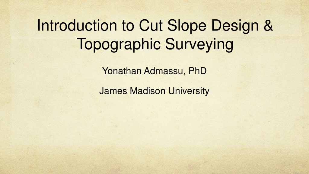
Introduction to Cut Slope Design & Topographic Surveying Yonathan Admassu, PhD James Madison University
Who are? Geotechnical Engineers Engineering Geologists Designing earth structures consistent with data Describe geologic environment as applied to engineering Direct projects Forecast future hazards BS in civil engineering Make recommendations on slope design, excavations, tunnels
Cut Slope Design
Cut Slope Design
What are we going to do? Day 1: Topographic survey - Producing a topographic map within a buffer zone along the proposed road. The topographic map will be used to draw longitudinal sections and cut slope design cross-sections. Day 2: Rock mass characterization - Discontinuity data collection to perform kinematic analysis to recommend safe slope angles. Day 3: Photogrammetry and cut slope design - Taking photos and extracting discontinuities from point cloud generated from SFM. Students will draw their design cross-sections.
Topographic Survey Measure distances and angles to determine known points 1. Interpolate between known points to approximate actual surface 2.
Topographic Survey Variety of methods Compass & rod (Jacob staff) Theodolite/total station Laser scanning
Topographic survey Brunton compass & rod Xelev = Yelev + a = Yelev + C * Sin Field notebook headings Profile No. Profile Azimuth Station No. Yelev = Xelev + C (sin ) Lithology Xelev C