Netherlands Hydrographic Office Report at 18th MACHC Conference
Detailed overview of the Netherlands Hydrographic Office's responsibilities in the Caribbean, survey policies, new chart updates, MSDI progress in the Caribbean Sea, and other activities. Includes insights on participation in international organizations and initiatives. The report covers various aspects related to hydrographic services and developments in the region.

Download Presentation

Please find below an Image/Link to download the presentation.
The content on the website is provided AS IS for your information and personal use only. It may not be sold, licensed, or shared on other websites without obtaining consent from the author. Download presentation by click this link. If you encounter any issues during the download, it is possible that the publisher has removed the file from their server.
E N D
Presentation Transcript
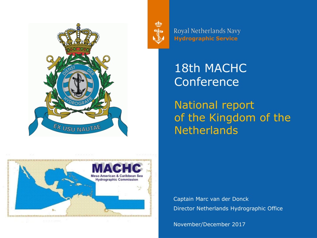
Hydrographic Service 18th MACHC Conference National report of the Kingdom of the Netherlands Captain Marc van der Donck Director Netherlands Hydrographic Office November/December 2017
A quick recap: responsibilities of NLHO in Caribbean windward islands leeward islands 2 National report Kingdom of the Netherlands MACHC18, November/December 2017
A quick recap: responsibilities of NLHO in Caribbean leeward islands windward islands 3 National report Kingdom of the Netherlands MACHC18, November/December 2017
(Re) survey policy C-55 No change Resurvey frequencies: 4 years (Cat.1) 12 years (Cat. 2) 24 years (Cat. 3) 50 years (Cat. 4) 4 National report Kingdom of the Netherlands MACHC18, November/December 2017
New Charts and updates Full ENC coverage for all appropriate usage bands. As of August 2017, Venezuela has produced own Cells VE300100 and VE300200. Cell NL302023 has been clipped accordingly 5 National report Kingdom of the Netherlands MACHC18, November/December 2017
MSDI Progress INSPIRE in Caribbean sea INSPIRE-compliant web services for: gridded bathymetric data and geographic names Start additional INSPIRE web services for: administrative units (maritime zones) and area management (PSSA Sababank) See the National Report for the URLs All NL ENC s for the Caribbean sea are available for online viewing in the MACHC on line application 6 National report Kingdom of the Netherlands MACHC18, November/December 2017
Other Activities: General Participated in 1th IHO Council as elected member from the MACHC Details in separate briefing NL became a member of the UN-GGIM WG-MGI DNLHO intends to participate coming August NL became Chair of the DQWG 7 National report Kingdom of the Netherlands MACHC18, November/December 2017
Other activities: Maritime boundaries Agreement on new Caribbean all-purpose boundary with France, now awaiting ratification 8 National report Kingdom of the Netherlands MACHC18, November/December 2017
Other Activities: Post-Irma disaster response Militairen brengen water aan land. Zr. Ms. Zeeland. See separate presentation. 9 National report Kingdom of the Netherlands MACHC18, November/December 2017
Conclusion Satisfactory status for surveying and nautical charting in the MACHC area. The national implementation of INSPIRE will gradually make our open data sets available as harmonized web services. Continued efforts to establish maritime boundaries. 10 National report Kingdom of the Netherlands MACHC18, November/December 2017


 survey policy")