Hydrographic Survey Report 2018 for the Kingdom of the Netherlands
 undefined


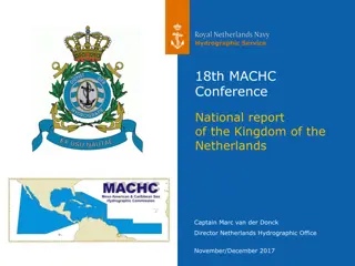
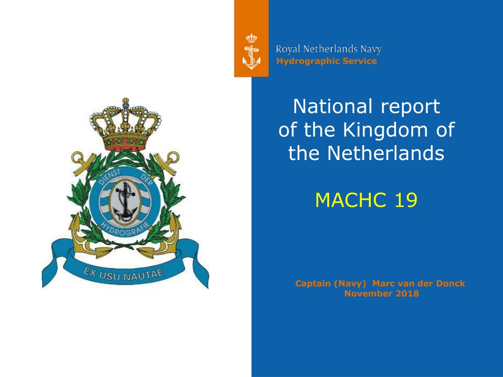
National report
of the Kingdom of
the Netherlands
MACHC 19
Captain (Navy) Marc van der Donck
November 2018


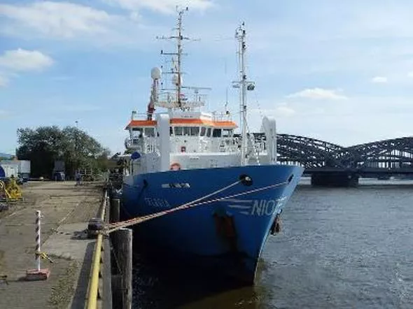
Main achievements 2018: survey (1)
Survey Windward/Leeward islands Cat.3
:
Deep water MBES survey, no object detection,
no water level reduction, limited SV correction (S-44 order 2)
by Royal Netherlands Institute for Sea Research (NIOZ),
R/V Pelagia, 2018-Q1/2.
Main achievements 2018: survey (2)
Results R/V Pelagia, 2018-Q1/2
Sababank and Luymesbank
Prehistoric reef erosion
on Luymesbank
Main achievements 2018: survey (3)
Results R/V Pelagia, 2018-Q1/2
Curaçao
Bonaire
Main achievements 2018: Maritime boundaries
All-purpose maritime boundary
with the French Republic
has been ratified and effected.
Thank you Shom
for the excellent technical
cooperation 1998-2017!
Main achievements 2018: local data providers
•
Visit to data providers on the Leeward Islands (2018)
•
Visit to data providers on the Windward Islands (2019)
MACHC ENC Online is very helpful in maintaining a two-
way data flow.
Megapier Curaçao
Progress on MSDI
NL offers INSPIRE-compliant web services for:
•
gridded bathymetric data and,
•
geographic names,
of the Caribbean Sea, which will become available in
the INSPIRE harmonized data format in 2019.
It is our intention to start up additional INSPIRE
harmonized web services for the Caribbean Sea, for:
•
administrative units (maritime zones) and
•
area management (PSSA Sababank).
See the National Report for the URLs.
Plans 2019: survey (1)
Windward/Leeward islands Cat.1+2
:
MBES/SSS survey,
Hydrographic Survey Vessel and smaller platforms,
2019-Q3/4.
Plans 2019: surveys (2)
Sint Maarten Cat.1+2
:
Land/sea LIDAR survey,
with local government/World Bank,
similar to French LIDAR survey Saint Martin/Saint Barthélémy,
2019-Q2.
Rocks and reefs
near Sint Maarten
•
Satisfactory status for surveying and nautical charting in
the MACHC area.
•
Visits to local data providers improve the quality of data
sets and nautical charting.
•
Hydrographic surveys were and will be done, often as a
joint effort with partner organisations.
•
Efforts to establish maritime boundaries with our
neighbouring countries are continuing.
Conclusion
Detailed report of hydrographic surveys conducted in the Kingdom of the Netherlands in 2018. Includes achievements such as deep-water MBES surveys, results on reef erosion, maritime boundary ratification, and engagement with local data providers. Progress made on offering INSPIRE-compliant web services for the Caribbean Sea in 2019 is also highlighted.

Download Presentation

Please find below an Image/Link to download the presentation.
The content on the website is provided AS IS for your information and personal use only. It may not be sold, licensed, or shared on other websites without obtaining consent from the author. Download presentation by click this link. If you encounter any issues during the download, it is possible that the publisher has removed the file from their server.
E N D
Presentation Transcript
Hydrographic Service National report of the Kingdom of the Netherlands MACHC 19 Captain (Navy) Marc van der Donck November 2018
Main achievements 2018: survey (1) Survey Windward/Leeward islands Cat.3: Deep water MBES survey, no object detection, no water level reduction, limited SV correction (S-44 order 2) by Royal Netherlands Institute for Sea Research (NIOZ), R/V Pelagia, 2018-Q1/2. 2 MACHC19, November 2018 National report Kingdom of the Netherlands
Main achievements 2018: survey (2) Results R/V Pelagia, 2018-Q1/2 Prehistoric reef erosion on Luymesbank Sababank and Luymesbank 3 MACHC19, November 2018 National report Kingdom of the Netherlands
Main achievements 2018: survey (3) Results R/V Pelagia, 2018-Q1/2 Cura ao Bonaire 4 MACHC19, November 2018 National report Kingdom of the Netherlands
Main achievements 2018: Maritime boundaries All-purpose maritime boundary with the French Republic has been ratified and effected. Thank you Shom for the excellent technical cooperation 1998-2017! 5 MACHC19, November 2018 National report Kingdom of the Netherlands
Main achievements 2018: local data providers Visit to data providers on the Leeward Islands (2018) Visit to data providers on the Windward Islands (2019) MACHC ENC Online is very helpful in maintaining a two- way data flow. Megapier Cura ao 6 MACHC19, November 2018 National report Kingdom of the Netherlands
Progress on MSDI NL offers INSPIRE-compliant web services for: gridded bathymetric data and, geographic names, of the Caribbean Sea, which will become available in the INSPIRE harmonized data format in 2019. It is our intention to start up additional INSPIRE harmonized web services for the Caribbean Sea, for: administrative units (maritime zones) and area management (PSSA Sababank). See the National Report for the URLs. 7 MACHC19, November 2018 National report Kingdom of the Netherlands
Plans 2019: survey (1) Windward/Leeward islands Cat.1+2: MBES/SSS survey, Hydrographic Survey Vessel and smaller platforms, 2019-Q3/4. 8 MACHC19, November 2018 National report Kingdom of the Netherlands
Plans 2019: surveys (2) Sint Maarten Cat.1+2: Land/sea LIDAR survey, with local government/World Bank, similar to French LIDAR survey Saint Martin/Saint Barth l my, 2019-Q2. Rocks and reefs near Sint Maarten 9 MACHC19, November 2018 National report Kingdom of the Netherlands
Conclusion Satisfactory status for surveying and nautical charting in the MACHC area. Visits to local data providers improve the quality of data sets and nautical charting. Hydrographic surveys were and will be done, often as a joint effort with partner organisations. Efforts to establish maritime boundaries with our neighbouring countries are continuing. 10 MACHC19, November 2018 National report Kingdom of the Netherlands

")
")
")


")
")