Systematic Comparison of Ground-Based and Satellite Measurements using TOVS and Radiosonde Data
This work discusses the systematic comparison of ground-based and satellite measurements using TIROS Operational Vertical Sounder (TOVS) and radiosonde data. The study focuses on spatial sampling, time coverage, and data resolution challenges, with comparisons at daily and station levels. Supported by Sandia National Laboratories, the research project aims to enhance understanding of climate pathways by analyzing data from the Satellite Era and the 1991 Mount Pinatubo eruption.
Download Presentation

Please find below an Image/Link to download the presentation.
The content on the website is provided AS IS for your information and personal use only. It may not be sold, licensed, or shared on other websites without obtaining consent from the author.If you encounter any issues during the download, it is possible that the publisher has removed the file from their server.
You are allowed to download the files provided on this website for personal or commercial use, subject to the condition that they are used lawfully. All files are the property of their respective owners.
The content on the website is provided AS IS for your information and personal use only. It may not be sold, licensed, or shared on other websites without obtaining consent from the author.
E N D
Presentation Transcript
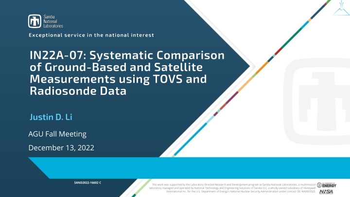
Exceptional service in the national interest IN22A-07: Systematic Comparison of Ground-Based and Satellite Measurements using TOVS and Radiosonde Data Justin D. Li AGU Fall Meeting December 13, 2022 SAND2022-16602 C This work was supported by the Laboratory Directed Research and Development program at Sandia National Laboratories, a multimission laboratory managed and operated by National Technology and Engineering Solutions of Sandia LLC, a wholly owned subsidiary of Honeywell International Inc. for the U.S. Department of Energy s National Nuclear Security Administration under contract DE-NA0003525.
Motivation 2 Comparisons between instruments (data products) would ideally have matching spatial and temporal resolution, sampling, and coverage Characteristics of the unaltered data informs the validity of comparisons and transformations (e.g., data completion) How do data observation from different systems compare? Spatial Sampling Spatial Sampling t=+0 t=+7 versus REALITY Time Coverage Time Coverage IDEAL t=+0 t=+1
Background 3 Part of a larger research project looking at climate pathways, using the 1991 Mount Pinatubo eruption as the exemplar GC25H-0769, CLDERA: A Novel Foundational Approach for Attributing Impacts to Localized Source Forcings in the Climate , 12/13 at 14:45 18:15 CST While newer data are more complete and at higher spatial and temporal resolutions, the described challenges remain relevant Focus on an earlier period of the Satellite Era to highlight data coverage gaps and data resolution challenges Compare satellite data from TOVS and radiosonde data from IGRA Apply statistical properties to characterize the comparison between data products Comparisons at the daily, pointwise (station) level, examining effects of the spatial precision, pressure levels, and timing offset
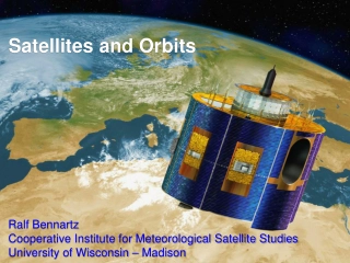
TIROS Operational Vertical Sounder (TOVS) 4 On-board TIROS (Television InfraRed Observation Satellite) series, NOAA-6 through 14 Using NOAA-11 data: ~2x daily measurements for 1988 1994, at 1 x 1 gridded resolution, with 12 pressure levels from surface to 30 mb Product derived from suite of three component sensors (MSU, HIRS/2, SSU) Image Credit: NOAA / NESDIS Center for Satellite Applications and Research Image Credit: NASA EarthData GES DISC, TOVSADNH Dataset
Integrated Global Radiosonde Archive (IGRA) 5 Archive of radiosonde and pilot balloon measurements from 1905 present Using 874 stations, compiled from 33 data sources (w/ quality control) 1 4 measurements each day, standard pressure levels Image Credits: NWS Upper-Air Photo Gallery Image Credit: NOAA / NCEI IGRA Data Product
TOVS and IGRA Collocations 7 Evident spatial ambiguity due to spatial resolution
Overall TOVS and IGRA Comparison 8 Differenced daily data over all stations and pressure levels (within 12- hour window of co-occurrence) shows good agreement Characterized using statistical properties of the difference between the measurements (+ ) (+IQR)
Variability from Radiosonde Stations and Pressure Levels 9 Differences by Radiosonde-TOVS Collocations (stations) Differences by Pressure Levels Not all stations are equally well behaved, with higher spread in the difference compared to the overall dataset Limitations of the dataset, in vertical resolution by pressure level, show greater differences in near surface air temperature measurements
Effects of Co-incident Measurements 10 Distribution in temperature difference for different duration time windows for co-incident measurements Variability due to radiosonde station has a dominant effect Tighter time window still reduces the variability, with the 1h window IQR being 10% smaller than that for 6h
Variability due to Spatial Ambiguity 11 Consider pairs of radiosonde station and adjacent TOVS coverage Example comparison; distribution over all comparison pairs (21 station pairs) Unbiased behavior indicates spatially-smooth temperature behavior, while the variability highlights spatial resolution limitations
Conclusions 12 Direct examination of radiosonde and TOVS air temperatures shows overall agreement, which matches with past comparisons Statistical metrics for measurement differences show significant variability in comparing at daily (compared with monthly) timescales Outlier radiosonde station data, or periods of outlier behavior for radiosonde stations, contribute significantly to the variability Closer time windows reduce the variability, but not as significantly as compared with improvements resulting from higher spatial resolution
Thanks for Listening! sandia.gov/clder a
