Grant Application Maps and Visuals for Development Projects
This PowerPoint file contains maps and visual representations essential for a grant application. It includes location maps, facility layouts, site plans, and floor plans among other visuals to enhance the understanding of the proposed development project.
Download Presentation

Please find below an Image/Link to download the presentation.
The content on the website is provided AS IS for your information and personal use only. It may not be sold, licensed, or shared on other websites without obtaining consent from the author. Download presentation by click this link. If you encounter any issues during the download, it is possible that the publisher has removed the file from their server.
E N D
Presentation Transcript
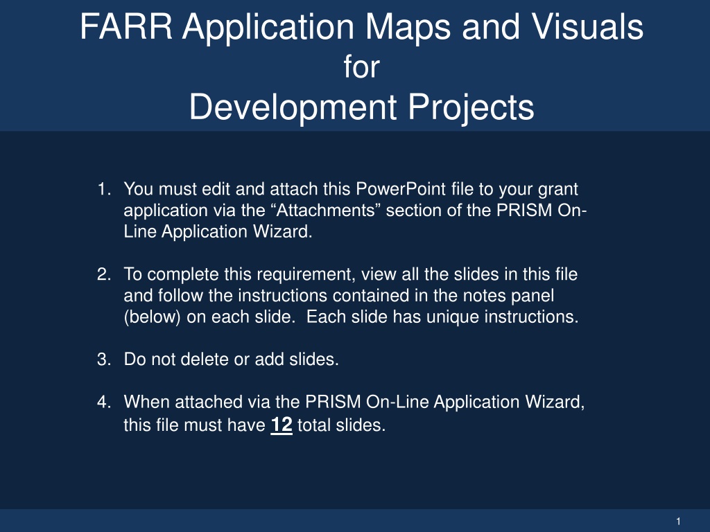
FARR Application Maps and Visuals for Development Projects 1. You must edit and attach this PowerPoint file to your grant application via the Attachments section of the PRISM On- Line Application Wizard. 2. To complete this requirement, view all the slides in this file and follow the instructions contained in the notes panel (below) on each slide. Each slide has unique instructions. 3. Do not delete or add slides. 4. When attached via the PRISM On-Line Application Wizard, this file must have 12 total slides. 1
Identify Grant Application Applicant Organization: Project Name: Project Number: 2
Regional Location Map Renton Fish and Game Club 3
Floor Plan (2 of 2) Covered Archery Firing Line - Profile 9
Visuals (1 of 2) 100 yd. Covered Firing Line Club Entrance and Clubhouse 30 Yard Archery Looking North 50 yd. Range Baffles 10
Visuals (2 of 2) Skeet Field #3 Entry Sign Clubhouse, West Windows 11
Congratulations! You have completed the FARR Application Maps and Visuals attachment PowerPoint! 12
