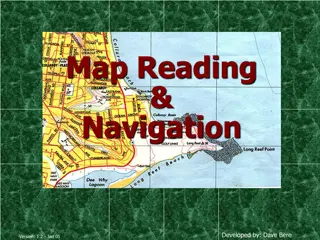
Geography: Maps, Globes, and Map Scales


GLOBES
AND
MAPS
Geography Lesson-4


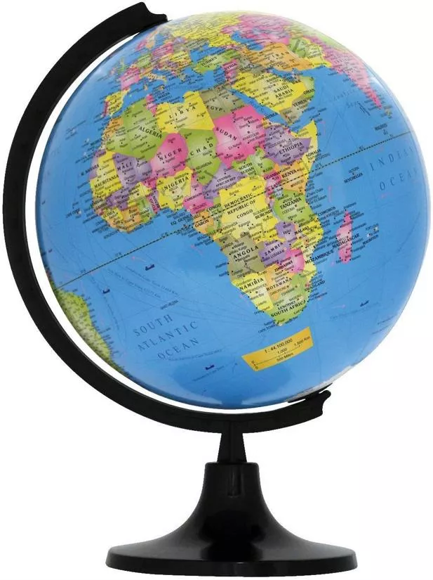
A Globe
•
It is very tough to see the
entire earth in one time. Even
photos took through satellites
show only half of the earth. So,
the representation of earth
through a model is called a
globe
.


Map
•
A globe cannot be carried to
different places. It is very tough to
carry.in such reasons we can use a
map. Representation of earth in a
flat surface is called a map. A book
of map is called as a
atlas
.
Mercator
and
Hondt
were the first to publish
a collection of map.
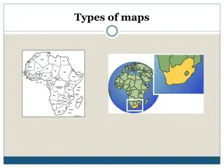
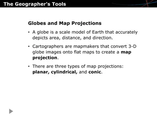
Types of Maps
Large scale maps, Small scale maps, political maps and
thematic maps are different types of maps.
Small Scale maps:
Shows a large area with less details.
Large Scale maps:
Shows a small area with clear details.
•
Physical maps:
Shows mountains,platues,plains, valleys,
etc.
Political map:
Shows the outlines between different
countries and political units between a state.
Thematic map:
Shows specific information such as roads,
railways, population, etc.
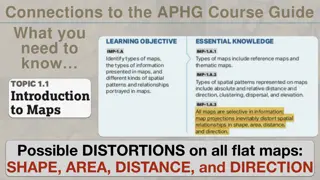
Measuring distance
Distance means far or near. The distance
shown tell us that, weather it is far or near.
So, the distance shown in a map is very
important. A map scale is used to show the
actual distance and the difference in the
distance shown in th
e map.
MAP SCALE (In Detail)
How can a map scale show on a map?
By a
statement
, by a
numerical fraction
, by a
GRAPHIC or LINEAR SCALE.
Finding Directions
North, south, east and the west
are the four direction. Directions
on the map is represented with a
help of a arrow. The arrow on the
map is called the north line. This
north line always shows the north
direction. If we find the north, we
can easily find the other
directions. If find these 3
directions, we can find the other
directions such as east west,
north-east, etc. An easy way of
finding direction is though sun rise
and pole star. We all know that
the sun rises in the east and sets
at the west. Even we can find the
direction using pole star. This pole
star show the north. So, we find
the other directions. Even we can
use a compass .
CONVENTIONAL SIGNS
AND SYMBOLS
There is no sufficient space in the
map to show mountains, plateaus,
plains, etc. So different symbols
and signs are used in the map. The
map shows us many symbols and
colors to show many places such as
boundaries, climatic conditions,
transport system, etc. Even
different colours are used in the
map to represent these things.
Sketch
A rough diagram, which is drawn
without measuring distance
between various places, this is
called a sketch.
Plan
Sometimes, we want to draw a
small map for a small area such as
our house with accurate
information. This is called a layout
plan. This shows us accurate details
without a leaving a small window.
On the other hand, a plan
representing a small area in large
scale.
Explore the world of geography through maps and globes in this informative lesson. Discover the advantages and disadvantages of using globes and maps, learn about different types of maps, and understand the importance of measuring distance and map scales. Dive into the realm of conventional signs and symbols used on maps to represent various geographical features. Enhance your knowledge of geography through this comprehensive study.

Download Presentation

Please find below an Image/Link to download the presentation.
The content on the website is provided AS IS for your information and personal use only. It may not be sold, licensed, or shared on other websites without obtaining consent from the author.If you encounter any issues during the download, it is possible that the publisher has removed the file from their server.
You are allowed to download the files provided on this website for personal or commercial use, subject to the condition that they are used lawfully. All files are the property of their respective owners.
The content on the website is provided AS IS for your information and personal use only. It may not be sold, licensed, or shared on other websites without obtaining consent from the author.
E N D
Presentation Transcript
GLOBES AND GLOBES AND MAPS MAPS Geography Lesson-4
A Globe It is very tough to see the entire earth in one time. Even photos took through satellites show only half of the earth. So, the representation of earth through a model is called a globe.
Advantages: Disadvatages Can be carried easily Don t show perfect shape. They can show the earth's entire surface or just a small part and can show even a small locality in a great detail. They quickly become outdated because of development of cities.
Map A globe cannot be carried to different places. It is very tough to carry.in such reasons we can use a map. Representation of earth in a flat surface is called a map. A book of map is called as a atlas. Mercator and Hondt were the first to publish a collection of map.
Types of Maps Large scale maps, Small scale maps, political maps and thematic maps are different types of maps. Small Scale maps: Shows a large area with less details. Large Scale maps: Shows a small area with clear details. Physical maps: Shows mountains,platues,plains, valleys, etc. Political map: Shows the outlines between different countries and political units between a state. Thematic map: Shows specific information such as roads, railways, population, etc.
Measuring distance Distance means far or near. The distance shown tell us that, weather it is far or near. So, the distance shown in a map is very important. A map scale is used to show the actual distance and the difference in the distance shown in the map.
MAP SCALE (In Detail) How can a map scale show on a map? By a statement, by a numerical fraction, by a GRAPHIC or LINEAR SCALE.
CONVENTIONAL SIGNS AND SYMBOLS There is no sufficient space in the map to show mountains, plateaus, plains, etc. So different symbols and signs are used in the map. The map shows us many symbols and colors to show many places such as boundaries, climatic conditions, transport system, etc. Even different colours are used in the map to represent these things.
Sketch A rough diagram, which is drawn without measuring distance between various places, this is called a sketch.
Plan Sometimes, we want to draw a small map for a small area such as our house with accurate information. This is called a layout plan. This shows us accurate details without a leaving a small window. On the other hand, a plan representing a small area in large scale.


")
")