
Underwater Backscatter Channel: Theory, Link Budget, and Climate Monitoring
In response to the significant impacts of climate change on the world's oceans, a new technology called underwater backscatter is being developed for distributed ultra-low-power underwater sensor networks. This technology aims to enable climate monitoring, sea-level measurement, and hurricane respon
3 views • 18 slides
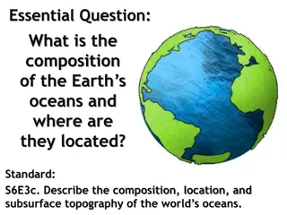
Exploring the Composition of Earth's Oceans
Delve into the composition, location, and subsurface topography of the world's oceans, discovering the chemical makeup of ocean water and its vast salt content. Uncover fascinating facts such as how the salt in the oceans could create a 500-foot thick layer if spread over Earth's land surface. Engag
1 views • 16 slides
Impact of Location, Climate, and Resources on Europe: Case Study of UK
The United Kingdom's location, climate, and natural resources significantly influence where people reside, their livelihoods, and trading activities. The UK, comprising Great Britain and Northern Ireland, benefits from a mild climate due to the Gulf Stream. Its diverse topography, from highlands to
0 views • 20 slides
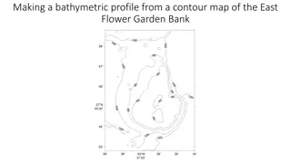
Understanding Bathymetric Profiles Using Contour Maps
Learn how to create a bathymetric profile from a contour map of East Flower Garden Bank. By following specific steps and using graph paper, you can analyze the steepness of underwater features such as the bank, distinguishing between gentle and steep slopes based on contour lines' spacing and depths
7 views • 10 slides
Natural Vegetation and Wildlife Sanctuaries in India
The natural vegetation in India varies based on climatic and topographical factors, leading to diverse flora such as Evergreen Rain Forests, Monsoon Deciduous Forests, and Desert ecosystems. The Himalayas showcase vegetation changes with altitude, while factors like soil and topography influence veg
2 views • 39 slides
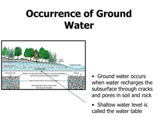
Understanding Groundwater: Occurrence, Recharge, and Movement
Groundwater occurs when water seeps into the subsurface through cracks and pores in rocks and soil, forming the water table. Recharge happens naturally through processes like precipitation and snowmelt, as well as artificially through methods like recharge wells and water spread over land. The movem
0 views • 8 slides
Understanding Soil Formation: Factors and Processes Explained
Soil formation is a complex process influenced by factors like parent material, topography, climate, organisms, and time. This article delves into the fundamentals of soil evolution, discussing how soils are formed from weathered rock materials and the role of pedogenesis. Factors affecting soil for
1 views • 28 slides
Understanding Size and Spacing of Rural Settlements in Geography Research
This presentation delves into the significant influence of size and spacing on the distribution pattern of rural settlements. It explores how factors like population size, areal size, topography, soil fertility, and more impact the density and distribution of settlements, categorizing them based on
1 views • 15 slides
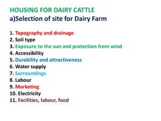
Essential Factors for Selecting a Dairy Cattle Farm Site
Selecting the ideal site for a dairy farm involves considering various factors such as topography, soil type, sun exposure, water supply, accessibility, and more. Understanding the requirements for housing, feeding, and milking facilities is crucial for successful dairy cattle farming.
3 views • 17 slides
Geography and Five Regions of Wisconsin: Key Points and Natural Features
Wisconsin's geography is influenced by the Great Lakes and the Mississippi River, affecting population distribution based on topography, soil, and climate. The state's historical reliance on soil resources for fur trade, lumber, farming, and manufacturing is evident. Varied regions like the Driftles
3 views • 9 slides
City of Signal Hill Stormwater Quality Program Overview
The City of Signal Hill, known for its unique geographic characteristics and historical oil production legacy, is proactive in implementing stormwater quality programs. The city addresses MS4 and TMDL requirements, demonstrating regional leadership in environmental initiatives. With a population of
1 views • 42 slides
CCBC Accessible Housing Service Overview
CCBC Accessible Housing Service in Caerphilly County Borough provides unified housing services catering to various tenures. Challenges include deprivation and topography. The service deals with housing options, strategy, and allocations, focusing on Welsh Housing Quality Standards. Private Sector Ho
0 views • 36 slides

Multibeam Data Analysis for Seabed Characterization at Deception Island, Antarctic
This work explores the morphological and sedimentary characterization of the seabed at Deception Island, Antarctic, through the analysis of multibeam bathymetric data and geological samples. The study identifies ravines, depressions, and volcanic structures as key features, revealing a seabed predom
0 views • 7 slides

Sustainable Development in Ghana: Environmental Challenges and Opportunities
Ghana faces environmental challenges such as erosion, deforestation, and water scarcity, but also has abundant natural resources like gold and oil. The country's diverse climate and topography present both risks and opportunities for sustainable development.
2 views • 13 slides
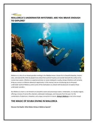
MALLORCA UNDERWATER MYSTERIES ARE YOU BRAVE ENOUGH TO EXPLORE
MALLORCA UNDERWATER MYSTERIES ARE YOU BRAVE ENOUGH TO EXPLORE
2 views • 4 slides
Understanding Root Surface Modifications in Periodontal Therapy
Periodontal therapeutic modalities focus on root surface modifications due to periodontitis, which involves physical, chemical, and cytotoxic changes. Successful outcomes depend on factors like clot stability, cell migration, attachment, proliferation, and debridement. Analyzing cementum properties
0 views • 6 slides
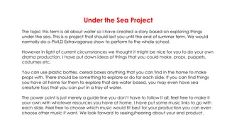
Under the Sea Adventure - DIY Drama Production Project
Dive into a creative DIY drama production project themed around exploring the wonders under the sea. Use everyday household items to craft props, puppets, and costumes for a captivating underwater journey. Let your imagination run wild as you bring the ocean to life in your very own show. Explore se
0 views • 22 slides
Techniques and Structures for Underwater Construction
Underwater construction involves unique challenges due to working in water, requiring methods like caissons and cofferdams. Caissons are water-tight structures used for various constructions, while cofferdams create dry enclosures for building operations underwater. Different types of caissons and c
0 views • 11 slides
Understanding Erosion and Deposition Processes in Geology
Explore the dynamic forces of erosion and deposition in geology, from the constructive and destructive processes to weathering, erosion agents, rates of erosion, sorting of sediment, deposition, and different depositional environments where sediments settle. Delve into how factors like weather, clim
0 views • 12 slides
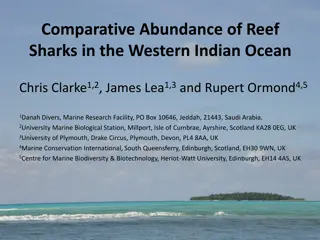
Comparative Abundance of Reef Sharks in the Western Indian Ocean
Global concern over the decline in shark populations in the Western Indian Ocean is highlighted in this study. The research aims to assess the current abundance of sharks in various locations and investigate the ecosystem-level effects of predator loss. Methods include surveys using Baited Remote Un
0 views • 15 slides
Educational Lesson on Bearings and Navigation for Students
Students will apply their knowledge of bearings to a real-world navigation scenario, including measuring and constructing bearings, and calculating distances using scale. The lesson is part of a series focused on Mysteries of the Deep Earth, specifically planning a research voyage to Australia's und
0 views • 21 slides
Understanding Hydrographic Surveying in Geomatics Engineering
Hydrographic surveying is a specialized field within geomatics engineering focused on mapping the water floor to produce nautical charts or bathymetric maps. These surveys play a crucial role in navigation, pipeline routing, cable installation, and more, providing essential data for various applicat
0 views • 19 slides
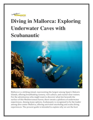
Diving in Mallorca Exploring Underwater Caves with Scubanautic
Diving in Mallorca Exploring Underwater Caves with Scubanautic
1 views • 5 slides

High-Resolution 3D Seafloor Topography Enhancement Using Kalman Filtering
Proposing a Kalman Filter approach to refine seafloor topography estimation by integrating various geophysical data types. The method allows for producing regional bathymetry with higher resolution, truncating unnecessary observations, and reducing the matrix dimensions in the inverse problem. Inclu
0 views • 9 slides
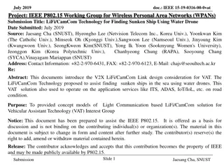
LiFi/CamCom Technology for Locating Sunken Ships Using Water Drone
This document discusses the use of LiFi/CamCom technology in conjunction with water drones to aid in the location and rescue of sunken ships in deep sea waters. The solution involves underwater drones equipped with headlights and cameras transmitting visual and location data using LiFi/CamCom to res
0 views • 5 slides
Dating Topography of the Sierra Nevada, California with Apatite (U-Th)/He Ages
Utilizing apatite (U-Th)/He ages, this study explores the topography of the Sierra Nevada in California. By analyzing age variations between ridges and valleys, researchers estimate the timing of incision and total relief of the mountain range. Results suggest minimum age of river incision as 70-80
0 views • 8 slides
Understanding Landforms and Topography: An Illustrated Guide
Explore the world of landforms and topography with detailed descriptions and images. Learn about key concepts such as relief, plains, mountain ranges, and plateaus. Understand how elevation, relief, and landforms shape the landscape around us.
0 views • 10 slides
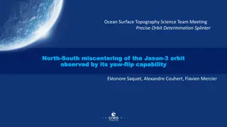
Ocean Surface Topography Science Team Meeting on Precise Orbit Determination
The Ocean Surface Topography Science Team Meeting delved into the precise orbit determination of the Jason-3 satellite, focusing on miscentering observations and the benefits of yaw flips. The meeting discussed previous approaches, the context of the satellite's orientation, goals for monitoring per
0 views • 12 slides
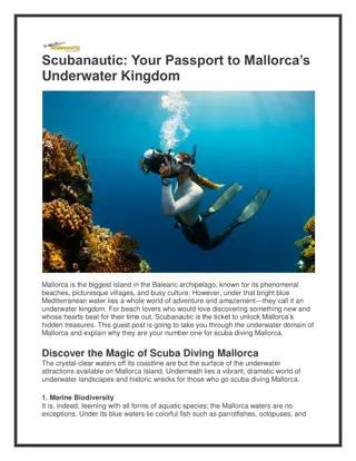
Scubanautic Your Passport to Mallorca’s Underwater Kingdom
Scubanautic Your Passport to Mallorca\u2019s Underwater Kingdom
1 views • 4 slides
Little Fish Story and Underwater Life Worksheets
Explore the tale of a little fish longing for happiness in its size, and how a twist of fate teaches it contentment. Engage in fun worksheets focusing on tenses and vocabulary related to aquatic creatures living underwater.
0 views • 18 slides
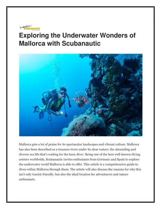
Exploring the Underwater Wonders of Mallorca with Scubanautic
Exploring the Underwater Wonders of Mallorca with Scubanautic
1 views • 4 slides
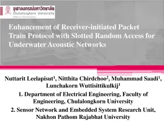
Enhancing Receiver-Initiated Packet Train Protocol for Underwater Acoustic Networks
This study focuses on enhancing the Receiver-Initiated Packet Train Protocol with Slotted Random Access for Underwater Acoustic Networks. The research explores the challenges of underwater communication, the characteristics of underwater sensor networks, and the RIPT protocol along with its improvem
0 views • 17 slides
Underwater Light Communications in November 2017
Discusses the advantages of light communications (LC) for underwater use, such as high data rate, low latency, and cost-effectiveness. Contrasts LC with acoustic and RF methods, highlighting benefits and limitations. Explores use cases including communication between submarines, divers, oil platform
0 views • 5 slides
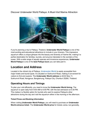
_Underwater World (1)
The underwater world is a mesmerizing realm teeming with life and mystery. It stretches from shallow coral reefs bathed in sunlight to the pitch-black depths of the ocean. \n\n\/\/thethaitourism.com\/pattaya-underwater-world\/\n
5 views • 3 slides
Understanding Sound and Sonar: Exploring Doppler Shift in Physical Science
Explore the principles of sound, Doppler shift, and sonar in nautical science. Learn about the characteristics of sound in seawater, the Doppler effect, and how sonar technology is used in detecting underwater objects. Key terms like fathometer, fish finder, hydrophone, active sonar, and passive son
0 views • 64 slides
Progress Presentation of Autonomous Underwater Robots
This presentation showcases the progress made by a team in developing autonomous underwater robots at Bradley University. The project objectives include mapping underwater terrain, navigating a swarm of UAVs, obstacle avoidance, and generating final images. The presentation covers system block diagr
0 views • 42 slides
Addressing Underwater Noise Pollution in EU Waters: Urgent Action Needed
Whales, dolphins, and other marine life are severely impacted by underwater noise pollution caused primarily by shipping activities in EU waters. Urgent implementation of stricter regulations based on IMO guidelines is essential to reduce noise levels and protect marine ecosystems. Recommendations i
0 views • 4 slides
Autonomous Underwater Detection of Smuggling Containers for Maritime Security
Innovative project led by Thomas Vonach of Subdron focusing on enhancing underwater detection capabilities to protect maritime areas and sea harbors. Utilizing Autonomous Underwater Vehicles (AUVs), the project aims to autonomously detect illegal obstacles such as cylindrical containers attached und
0 views • 4 slides
FPGA for Underwater Communication Project Overview
This project, led by Pradyumna (Prad) Kadambi with mentor Cody Youngbull, aims to develop a robust high-speed underwater communication system using Field Programmable Gate Arrays (FPGA). The project addresses the slow and cumbersome nature of current underwater communication methods, with a focus on
0 views • 9 slides
Quadro Control for Underwater Mobile Robot Navigation Presenter
Explore the Quadro Control concept for underwater mobile robot and remote operated underwater vehicles. The hardware architecture, motor controller, propeller configuration, and prototype are discussed in detail by authors M. Firdaus, D. Hazry, A. Zul Azfar, M. Zahiruddin, and A. H. M. Nur Isamuddin
0 views • 6 slides