Evaluation of Soil Moisture Estimates from Satellite-Based Products
The study evaluates soil moisture estimates from satellite-based products over two network regions. Soil moisture is crucial for the hydrological cycle, necessitating continuous monitoring due to its spatial and temporal variability. Remote sensing is utilized to gather information without physical contact, addressing issues such as coarse spatial resolution. Downscaling methods improve the resolution of satellite-based data, enhancing datasets for future hydrological applications. Platforms like GEE and R are recommended for processing remote sensing products.

Download Presentation

Please find below an Image/Link to download the presentation.
The content on the website is provided AS IS for your information and personal use only. It may not be sold, licensed, or shared on other websites without obtaining consent from the author. Download presentation by click this link. If you encounter any issues during the download, it is possible that the publisher has removed the file from their server.
E N D
Presentation Transcript
EVALUATION OF SOIL MOISTURE ESTIMATES FROM SATELLITE-BASED PRODUCTS OVER TWO NETWORK REGIONS Kivana Naidoo INSPIRING GREATNESS
BACKGROUND The availability of water resources is continuously decreasing Soil moisture is a crucial component of the hydrological cycle There is a need to continuously monitor and measure soil moisture content due to its spatial and temporal variability
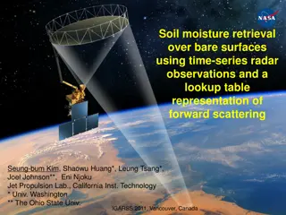
REMOTE SENSING Acquisition of information about an object without making physical contact Accounts for spatial and temporal variability A common issue that arises is the coarse spatial resolution associated with these products AMSR-2 (JAXA, 2013) SMOS (ESA, 2019) SMAP (Clark, 2015)
DOWNSCALING Used to disaggregate satellite-based soil moisture products to produce data at higher resolutions Relate remote sensing to fine scale variables through statistical analysis, regressions or physically based models Downscaling using machine learning can be easily facilitated using R
CONCLUSION Downscaling of satellite-based products can produce improved datasets The use of data processing platforms such as GEE and R are highly recommended Remote sensing satellite-based products show significant potential for future hydrological applications