Advances in Remote Sensing for Soil Moisture Validation and Calibration
Cutting-edge methods like Cosmic-Ray Neutron Sensing (CRNS) and mobile measurements are revolutionizing soil moisture validation and calibration. From satellite-based techniques to local approaches, researchers are enhancing the accuracy and reliability of soil moisture data for various applications. By leveraging advanced technologies and collaborative efforts, the field of remote sensing is pushing the boundaries of soil moisture monitoring and analysis.
Download Presentation

Please find below an Image/Link to download the presentation.
The content on the website is provided AS IS for your information and personal use only. It may not be sold, licensed, or shared on other websites without obtaining consent from the author.If you encounter any issues during the download, it is possible that the publisher has removed the file from their server.
You are allowed to download the files provided on this website for personal or commercial use, subject to the condition that they are used lawfully. All files are the property of their respective owners.
The content on the website is provided AS IS for your information and personal use only. It may not be sold, licensed, or shared on other websites without obtaining consent from the author.
E N D
Presentation Transcript
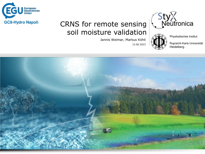
CRNS for remote sensing soil moisture validation GC8-Hydro Napoli Physikalisches Institut Jannis Weimar, Markus K hli Ruprecht-Karls-Universit t Heidelberg 12.06.2023
Soil Moisture Measurement Gap via satellite remote sensing (optical, microwave) > 1 km [1] via local techniques (electrical resistivity, capacitance, etc.) < 10 m [2] [1] ESA SMOS (http://www.esa.int/Our_Activities/Observing_the_Earth/SMOS/Horn_of_Africa_drought_seen_from_space) [2] The Clay Research Group (http://www.theclayresearchgroup.org/images/ert.jpg)
Remote Sensing Upscaling 250 m upscaled 100 m upscaled Difference between both Wisconsin, USA How to validate/calibrate satellite-based soil moisture measurements? [1] J. Huang, et al. Retrieving Heterogeneous Surface Soil Moisture at 100 m Across the Globe via Fusion of Remote Sensing and Land Surface Parameters , Front. Water 28(2) (2020)
CRNS: Basics Incoming neutron Isotropic Scattering in soil = few cm Scattering in air 50 m Detection
CRNS: Basics Cosmic-Ray Neutron Sensing Only sensitive to hydrogen (soil chemistry plays a minor role) Non-invasive, autarkic Large support volume 10 hectare, 0.5 m deep Can be extended by mobile measurements
Mobile Measurements Full Coverage Courtesy M. Schr n, UFZ Leipzig
Mobile Measurements Across Scales StyX Rover UFZ Leipzig Courtesy M. Schr n, UFZ Leipzig Cooperation German Weather Service, F Beyrich, FESSTVal Preliminary data
Mobile Measurements Opportunities Large area soil moisture measurements: Full coverage for 1 km2/day with a resolution of 50 m Coarse sampling of larger areas e.g. a whole catchment Snap-shot data for areas with no other data (e.g. ISMN) available Challenges Other hydrogen pools than soil moisture influence the signal (e.g. vegetation, rivers ) Road effect
Our contribution Neutron simulation Neutron detectors
Our Offer Use CRNS for non-invasive, large area on-demand mapping of soil moisture
The end Thanks for your attention
Stationary and Roving Instruments Stationary Roving
Detector Footprint horizontal vertical
