Modern Hydrographic Surveys for Disaster Mitigation
Modern hydrographic surveys utilize advanced technologies to gather geodata, enabling the creation of accurate baseline datasets for coastal regions. This data can be used to map geological and biological constituents, support coastal process modeling, and aid in disaster preparedness and response by providing valuable information to a wide range of stakeholders.
Download Presentation

Please find below an Image/Link to download the presentation.
The content on the website is provided AS IS for your information and personal use only. It may not be sold, licensed, or shared on other websites without obtaining consent from the author. Download presentation by click this link. If you encounter any issues during the download, it is possible that the publisher has removed the file from their server.
E N D
Presentation Transcript
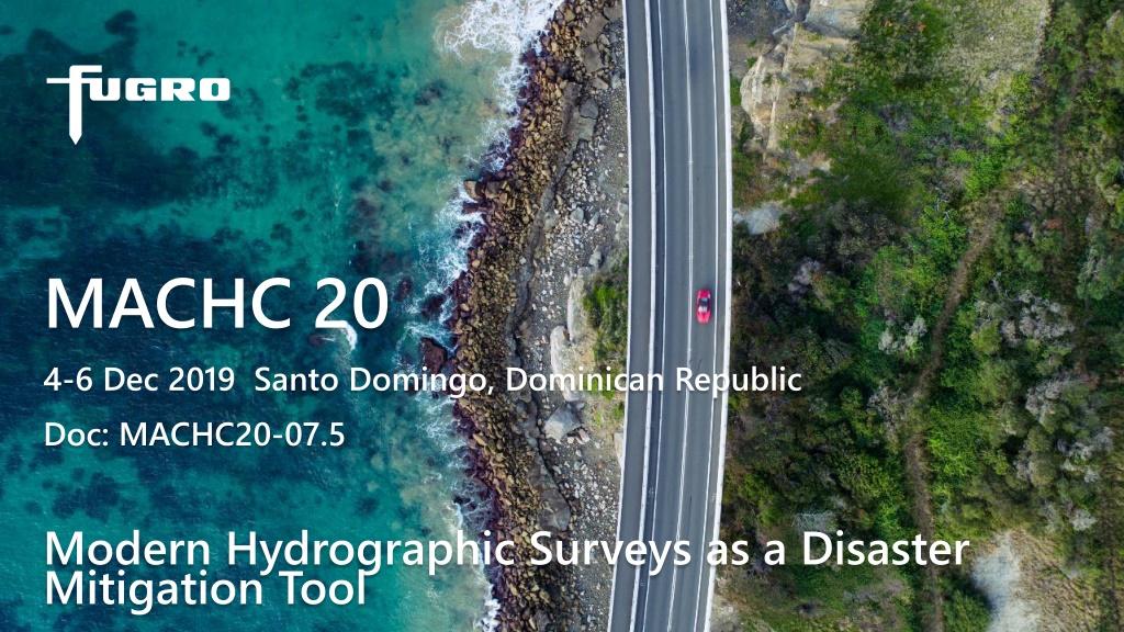
MACHC 20 4-6 Dec 2019 Santo Domingo, Dominican Republic Doc: MACHC20-07.5 Modern Hydrographic Surveys as a Disaster Mitigation Tool
Discussion What s different about modern hydrographic surveys? What can we do with the data to mitigate natural disasters affecting coastal regions? Who needs the data? How might we plan surveys to help in the mitigation process? Go to insert header and footer under 2 MACHC20-07.5 - 5 Dec 2019
Whats different about modern hydrographic surveys? Hydrographic data is a form of geodata We can now acquire our geodata with a combination of complementary technologies We can now acquire our geodata from a combination of different platforms We can create seamless data across the land-water boundary We can generate products and information in a variety of formats and on datums to suit the customer Stakeholders (customers) can access the data held and maintained by the hydrographic agency Go to insert header and footer under 3 MACHC20-07.5 - 5 Dec 2019
What can we do with the data to mitigate natural disasters affecting coastal regions? We can establish a more consistently-acquired and accurate geo-dataset .the baseline We can map the geophysical and geological constituents of the coast We can map the biological constituents of the coast such as aquaflora and fauna, coastal vegetation and native animal species requiring protection We can merge these data to create different products for different stakeholders We can fuel modern, digital coastal process models such as flood inundation Using and comparing to the baseline, we can detect, quantify and monitor CHANGE Using the CHANGE data, we can provide robust arguments for remedial work, support and funding Go to insert header and footer under 4 MACHC20-07.5 - 5 Dec 2019
Who needs the data? Only those who can maintain and manage it, but Who needs the information?? Lots of stakeholders here: Hydrographic offices Emergency preparedness agencies Environmental agencies Strategic planning teams Coastal engineering agencies and companies Aid agencies International financial institutions Etc .. Go to insert header and footer under 5 MACHC20-07.5 - 5 Dec 2019
How might we plan surveys to help in the mitigation process? If we baseline an area or region, we can immediately monitor CHANGE CHANGE drives future survey prioritization and inclusion of projects in the national survey program The ability to capture the entire CHANGE picture along an affected area of coast, both above and below the water, generates the survey planning necessary Smart planning leads to smart decision making based on modern, dependable data Remedial work is better directed and quicker to approve Go to insert header and footer under 6 MACHC20-07.5 - 5 Dec 2019
We work to improve lives in Latin America and the Caribbean. Through financial and technical support for countries working to reduce poverty and inequality, we help improve health and education, and advance infrastructure. (IDB Website) (Client quote)
Together we create a safe and liveable world. (Fugro Mission Statement 2019) (Client quote)
Summary paste (ctrl + V) it in. The icon will Icon box colours can be changed by selecting them and using the shape Investment in hydrographic surveys can fuel better disaster mitigation strategies Seamless geodata provides a much clearer picture on wholesale impact and negative CHANGE Resulting information provides evidence for international aid agencies to help release timely funding and support Go to insert header and footer under 9 MACHC20-07.5 - 5 Dec 2019
Thank you Don Ventura +1 228 365 0906 (M) dventura@fugro.com https://www.fugro.com 10
