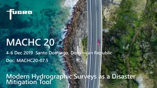
Modern Hydrographic Surveys for Disaster Mitigation
Modern hydrographic surveys utilize advanced technologies to gather geodata, enabling the creation of accurate baseline datasets for coastal regions. This data can be used to map geological and biological constituents, support coastal process modeling, and aid in disaster preparedness and response b
0 views • 10 slides
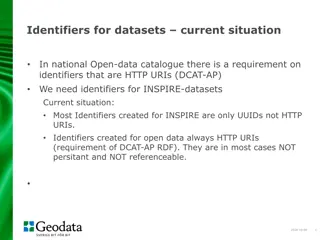
Recommendations for Creating Identifiers in Data Catalogues
National data catalogues have specific requirements for identifiers, such as using HTTP URIs for open data datasets. While most INSPIRE datasets only have UUID identifiers, adhering to the DCAT-AP standard recommends using HTTP URIs. Recommendations for creating identifiers in the geodata sector are
0 views • 5 slides