Improving Early Warning Systems for Natural Hazards through Public Participation
Investigating innovative approaches to enhance monitoring and early warning systems by engaging the public in data collection and analysis. The project aims to integrate public observations into existing networks for more timely warnings, comprehensive damage assessments, and increased hazard awareness. Expected outcomes include the development of new flood warning services, mobile applications, and community resilience strategies.

Download Presentation

Please find below an Image/Link to download the presentation.
The content on the website is provided AS IS for your information and personal use only. It may not be sold, licensed, or shared on other websites without obtaining consent from the author. Download presentation by click this link. If you encounter any issues during the download, it is possible that the publisher has removed the file from their server.
E N D
Presentation Transcript
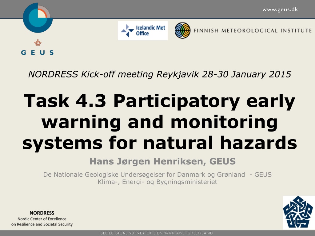
Icelandic Meteorological office Finnish Meteorological Institute NORDRESS Kick-off meeting Reykjavik 28-30 January 2015 Task 4.3 Participatory early warning and monitoring systems for natural hazards Hans J rgen Henriksen, GEUS De Nationale Geologiske Unders gelser for Danmark og Gr nland - GEUS Klima-, Energi- og Bygningsministeriet
Task 4.3 Participatory early warning and monitoring systems The problem Early warning and monitoring systems are sparse in many hazardous areas, making it difficult to issue timely public warnings or follow the process of hazardous events. The public can provide in-situ photographs of water levels, snow banks, forest fires, or other phenomena (use or test existing APPs, crowsourcing methods etc.). Mobile Water Tracker involves citizens in (ground-) water management http://delta.tudelft.nl/article/watermanagement- by-crowdsourcing/28376 Critical infrastructure stakeholders can also upload local time series of e.g. water levels. http://mobilewatermanagement.com/
Task 4.3 Participatory early warning and monitoring systems The study and the goal The study: The study will investigate novel ways of expanding various monitoring and early warning techniques with network-based public participation. The goal: is to incorporate public observations into existing monitoring networks and real time modelling and forecasting systems so that: (i) more timely and accurate warnings can be issued; (ii) more comprehensive compilations of damage effects targeting various critical infrastructure are received; and (iii) public risk perception and hazard awareness are improved.
Task 4.3 Participatory early warning and monitoring systems Expected work and outcomes Icelandic Meteorological office Finnish Meteorological Institute : : Development of FMI s flood warning services/ national flood warning center ( Tulvakeskus ) New two-way mobile application under development Analysis of economic and behavioral impact of such new technologies and processes of the system : User needs for real time monitoring and early warning systems (national local coupled systems) Workshop on use of smart phones in participatory early warning of floods (TU Delft etc. / NL) Local participatory early warning and monitoring systems (Odense case: SMS/GPS tracking, monitoring and early warning) Publication(s) about community resilience and participatory early warning and monitoring systems Adapt and refine existing web interfaces to collect, analyse and disseminate flood-related data. The new interface will enable better monitoring and assessment of floods, especially in remote regions. Outcomes: (i) improved timely warnings; (ii) heightened involvement and awareness of local communities; and (iii) better model verification and calibration. 1. State of the art (systems and techniques) Nordic case studies User needs <> web interface Community resilience (test) 2. 3. 4.
Thank you for your attention! The Geological Survey of Denmark and Greenland (GEUS) is a research and advisory institution in the Ministry of Climate, Energy and Building. GEUS had a staff of 340 The work field of GEUS - geoscientific studies, research, consultancy and geological mapping - primarily covers Denmark and Greenland. GEUS works with hydrological modeling (DK model) to quantify the impacts of climate change on the water cycle. Staff: 330