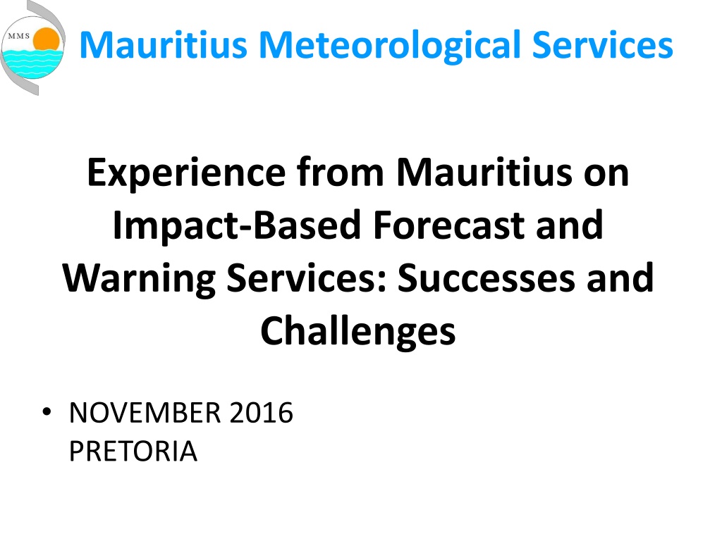
Impact-Based Forecasting and Warning Services in Mauritius: Successes and Challenges
The experience of the Mauritius Meteorological Services in implementing Impact-Based Forecasting and Warning Services is detailed, highlighting successes and challenges encountered in November 2016. The article discusses the main weather hazards faced by Mauritius, such as tropical cyclones, heavy rainfall, floods, storm surges, and more. It also emphasizes the importance of early warning systems for these hazards and provides examples of impact-based forecasts and warnings issued by the meteorological service. The document showcases how the population receives and responds to these warnings, underlining the need for continuous education and improvement in disseminating critical information.
- Mauritius Meteorological Services
- Impact-Based Forecasting
- Warning Services
- Weather Hazards
- Early Warning Systems

Download Presentation

Please find below an Image/Link to download the presentation.
The content on the website is provided AS IS for your information and personal use only. It may not be sold, licensed, or shared on other websites without obtaining consent from the author. Download presentation by click this link. If you encounter any issues during the download, it is possible that the publisher has removed the file from their server.
E N D
Presentation Transcript
Mauritius Meteorological Services Experience from Mauritius on Impact-Based Forecast and Warning Services: Successes and Challenges NOVEMBER 2016 PRETORIA
Outline Introduction Current Practice Examples of IBF&W Successes and Challenges Conclusion
Introduction Main Weather Hazards Tropical Cyclone Heavy Rainfall (Torrential Rain) Flood and Flash Flood Storm surge and High Waves Landslide (and rock fall) Tsunami (low probability) Drought (water stress) Total land area = 2040 km2 EEZ of the Republic of Mauritius = 2.3 million km2
Tracks of some of the worst cyclones over Mauritius Jan 1945 Gervaise Feb 1975 March 1931 April 1892 Laure March 1980 Jenny Feb 1962 Jacinthe Feb 1980 Fleur Jan 1978 Danielle Jan 1964 Alix Jan 1960
Current Practice Early Warning for Weather Hazards (Documented in the National Disaster Scheme) EWS for tropical cyclone fairly well understood by the population. Further education needs to be done for the others hazards Early Warning Bulletins included a the statement of precautions that needs to be taken
Current Practice Since cyclone season 2015-2016, some aspects of impacts based forecast and warning were included in the Warning Bulletins. Based on the MetService bulletin, NDRRMC would then add certain aspects of impact- based/risk based warning. Regions likely to be affected are mentioned in the bulletin.
Examples of Impact-Based Forecast and Warnings Examples 1. Strong winds with gusts 90 km/h (associated with cyclones or anticyclones ): Be aware of loose flying objects Rotten Branches of trees likely to fall off Cross winds on the motor way Working in heights, e.g. scaffolding, Container handling Crane manoeuvring in the Harbour becomes dangerous when wind gusts 65 km/h 2. High waves Waves 2.5 m ventures not advised High energy waves 5.0 m in some exposed areas to the South of the Island to stay away from beach because of coastal inundation Storm/tropical cyclone within few km of the Island may cause coastal inundation due to storm surge + action of waves
Examples of Impact-Based Forecast and Warnings 3. Heavy Rain Cases February & March 2013
Examples of Impact-Based Forecast and Warnings 3. Heavy Rain Rainfall 30 mm in 3 hours likely to cause disruption? Rainfall 100 mm in 12 hours Torrential rain warning is if force. No school for the children. Depending on the situation other actions may be needed Avoid areas likely to be flooded (NDRRMC in their bulletin will give the affected regions). Flooded roads. Population to stay in sheltered areas. Avoid flooded river banks and /or bridges Avoid areas likely to have landslides (NDRRMC will issue advisories to population in those areas)
Examples of Impact-Based Forecast and Warnings 4. Lightning & Thunderstorms Avoid shelter under trees Stay away from plains and swimming at sea Avoid high rise structures (scaffolding), hiking on mountains Unplug domestic appliances (Electric power generation and transmission have a contingency plan in case of heavy thunderstorms)
Examples of Impact-Based Forecast and Warnings 5. Drought This is not a major hazard. In our climate forecast there is an indication of whether rainfall for the forthcoming season will be below normal. Met Service is in the water monitoring committee and any decision are taken at the level of the Water Resources Sector 6. Tsunami Low risk hazard Population in coastal zone is being educated through regularly simulation exercise (NDRRMC)
Implementation of a Pilot project Workshop held in October 2015 very successful Some 30 Participants agreed on the impacts of weather hazards on individual stakeholders Developed hazard matrices for individual sectors Categorize hazards into primary secondary and tertiary hazards Developed impact matrices Classification by severity of impacts Developed mitigation advices matrices for each hazard
Follow-up Actions Follow-up actions after the workshop: Steps taken to improve understanding of Impacts Exposure Vulnerability Wave model workshop conducted by Dr. Deepak Vatvani in December 2015. Forecasters were trained. Status of wave forecasting and coastal inundation in Mauritius shared with other stakeholders
Follow-up Actions Storm surge caused by tropical cyclone Gamede. Storm surge and wave impacts map were developed during December 2015 Workshop
Follow-up Actions Working on return period of heavy rainfall/flood/flash flood in risk areas and build up the climatology Idem for cyclone gusts and extreme temperature Post analysis and Documenting of severe weather (hazards) Return Period: 2,5,10,50,100 years . Prob of having 48 mm/h is 1%
Observed Vulnerability to flooding Observed Vulnerability to flooding in coastal areas The map, prepared for a project submission to Adaptation Fund Board in 2012, shows all the known coastal sites of Mauritius main island which are presently vulnerable to the physical effects of Climate Change (sea level rise, storm surge/flooding, beach erosion). 21 beaches currently experience erosion (23% of the beaches of Mauritius main island) and 22 sites have experienced storm surges and flooding in the recent past. Source: Gov of Mauritius. UNDP Report
Vulnerability Map Red: Flood prone areas Blue: High waves impacts Green: land slide prone areas Blue lines: Rivers and natural water pathways Source: NDRRMC
Successes and Challenges Challenges Probabilistic forecast. Have to rely on ECMWF model and hopefully on a high resolution Meteo France LAM (AROME for the Indian Ocean) Forecasting Impacts? Quite General at the moment. (NDRRMC)
Successes and Challenges Localised nature of Impacts Rate of change and temporal variation of threshold For e.g Intensity of tropical cyclone (explosive intensification) Rainfall intensity causing flash flood in various region Models do not accurately capture severe weather systems in a marine environment. There is a need for more accurate and location-specific forecast of the hazards at Island scale (Need high resolution LAM, bearing in mind the limitation of technology) The use of a standard colour coding of hazards and impacts not yet establish
Conclusion Some of the changes brought to our warning bulletin have been well received by the general public Continued collaboration with the NDRRMC during all emergencies Collaborative effort needs to be sought with other stakeholders, including the public (partnership) IBF&W according to the needs of the stakeholders still needs to be done