GEBCO Technical Sub-Commission on Ocean Mapping (TSCOM) Overview
Technical Sub-Commission on Ocean Mapping (TSCOM) is a key component of the GEBCO program, established in 2006 to provide expertise in seafloor mapping and discuss emerging technologies. TSCOM serves as an authoritative source for bathymetric and hydrographic data and offers ongoing advice to associated groups. The committee, led by Chair George Spoelstra and Vice Chair Federica Foglini, has a diverse membership comprising voting and non-voting members from various countries. Activities include working groups focusing on editorial boards, mapping resources, and new technologies like the Discrete Global Grid Systems. The Cookbook Editorial Board, led by Christiane Reiser, manages the publication process and coordinates new chapter submissions. The Opportunistic Mapping Resources Working Group, led by Erin Heffron, aims to enhance seabed data acquisition in undermapped areas through decision support tools and resource development.

Download Presentation

Please find below an Image/Link to download the presentation.
The content on the website is provided AS IS for your information and personal use only. It may not be sold, licensed, or shared on other websites without obtaining consent from the author. Download presentation by click this link. If you encounter any issues during the download, it is possible that the publisher has removed the file from their server.
E N D
Presentation Transcript
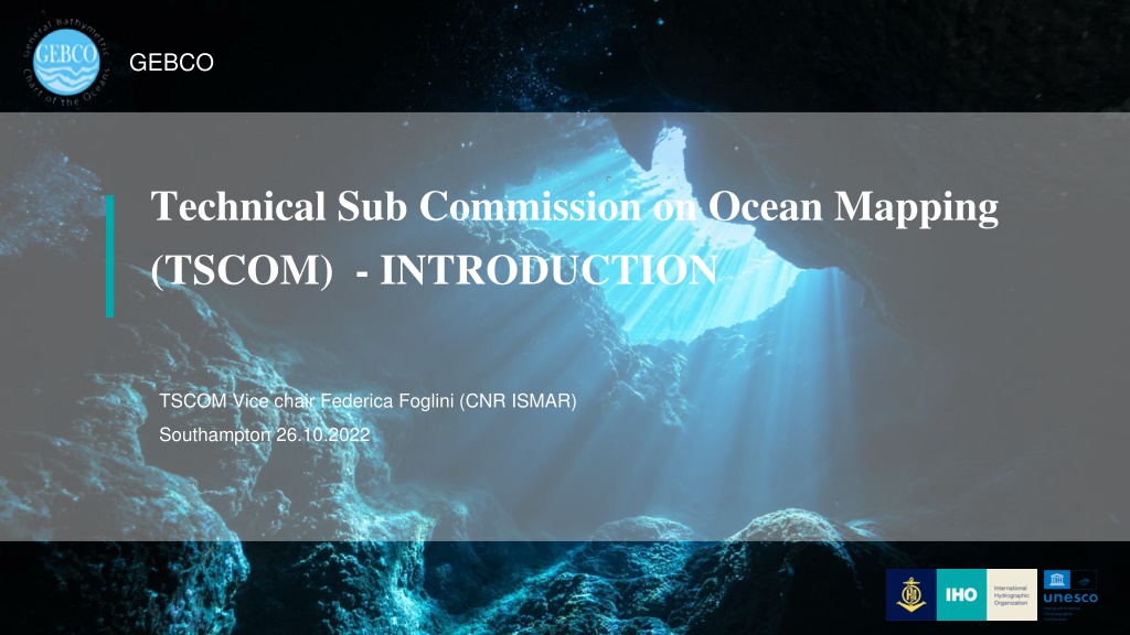
GEBCO Technical Sub Commission on Ocean Mapping (TSCOM) - INTRODUCTION TSCOM Vice chair Federica Foglini (CNR ISMAR) Southampton 26.10.2022
TSCOM The Technical Sub-Committee on Ocean Mapping (TSCOM) was established in 2006 as part of the GEBCO program with the aim to: -Provide ongoing advice to the GEBCO Guiding Committee and all associate groups and projects interested in the building and use of the GEBCO product. -Serves the greater bathymetric, hydrographic, and maritime communities as authoritative source for technical expertise in seafloor mapping and forum for discussion on emerging technologies and applications of bathymetric and hydrographic data. GEBCO
Chair, George Spoelstra (GGSgc, NL) Vice Chair: Federica Foglini (CNR, IT) TSCOM Membership Voting Members 1. Wetherbee Dorshow (EarthAnalytics,USA) 2. Thierry Schmitt (SHOM, FR) 3. Erin Heffron (Ocean Mapping Service, USA) 4. Vicki Ferrini (LDEO, USA) 5. Leonard Gomes (Marinha, BR) 6. Tim Kearns (GLOS, US) 7. Boele Kuipers (NHS, NO) 8. Paul Johnson (CCOM, USA) 9. Cisco Navidad (CSIRO, AU) 10. Christie Reiser (NOAA, USA) 11. Helen Snaith (BODC, UK) 12. Caitlyn Raines (esri, USA) 13. Heather Stafford (NGA, US) 14. Pauline Weatherall (BODC, UK) 15. Mark Zimmerman (NOAA, USA) 16. Arne Johan Hestnes (Kongsberg, Norwey) Non-Voting Members 1. Eunmi Chang (Seoul University, KO) 2. Martin Jakobsson (SU, SE) 3. Jennifer Jenks (NOAA, US) GEBCO
Working group and TSCOM activities Ongoing activities Cookbook Editorial Board Opportunistic Mapping Resources Working Group Meta data working group DCDB and industry day Argo floats grounding data (Christie Reiser) (Erin Heffron) (Federica Foglini) (Jennifer Jencks) (Thierry Schmitt) New Items Use of Discrete Global Grid Systems (DGGS) Better use of map projections for GEBCO grid (Boele Kuipers) (George Spoelstra) GEBCO
Cookbook Editorial Board Christiane Reiser Editorial board is formed Christiane Reiser, Rochelle Wigley, Helen Snaith, Jaya Roperez, Rodrigo Obino, Leonardo Gomez, Thierry Schmitt Objective: Managing the Cookbook publication Investigating epub and ad hoc software for the edition Call for new chapters New edition towards end 2022 GEBCO
Opportunistic mapping resources working group Erin Heffron Objective: To develop, test, and deliver resources that promote acquisition of seabed data by the seafloor mapping community in areas identified as gaps in the current coverage following the A+B+C=100% paradigm Need a better understanding of what is mapped/unmapped Provide opportunistic mapping decision support tools Brief user requirement survey Design and develop A+B+C=100% data layer in close cooperation with Seabed 2030 GEBCO
Metadata working group Federica Foglini Objective: provide advice on metadata to be provided by the data producer Full review of the metadata schema (with comparison with existing initiative) Active collaboration with the CSBWG Need feedback and implementation strategy GEBCO
DCDB and industry Day Jennifer Jencks Objective: Inventory of known bathymetric data Continuously gathering new datasets (or pointers to existing data) Include embargoed data Connected with regional mapping paterns Improved DCDB pipepline Dedicated workshops: DCDB Industry day and data contribution workshop (on the use and leveraging of web services) GEBCO
Using Deep Argo Float profiles as validation Thierry Schmitt (Technical POC) Objective: Check out grounding of Deep Argo Float vs known bathymetry from GEBCO Project at its early stage, experimenting Main question: the relevant question is for the horizontal accuracy. GEBCO
Using Deep Argo Float profiles as validation Thierry Schmitt (Technical POC) Objective: Check out grounding of Deep Argo Float vs known bathymetry from GEBCO Project at its early stage, experimenting Main question: the relevant question is for the horizontal accuracy. GEBCO
New workitems for 2022-2023 Use of Discrete Global Grid Systems (DGGS) (Boele Kuipers) 1. Identify mature DGGS which can be applied to GEBCO bathymetry and TID, using open API s, publicly available libraries and mainstream GIS tools. Possible candidates are S2, H3, rHEALPix, OpenEAGGR, 2. Ingest GEBCO bathymetry and TID with the most relevant of the identified mature DGGS. For each DGGS the ingestion process and resulting products should be documented and made available (GitHub/notebook/ ) 3. Evaluate the results from a GEBCO usability perspective and related use cases Better use of map projections for GEBCO grid (George Spoelstra) GEBCO
THANKS GEBCO


")