Planning Agricultural Activities Along Atbara River in Sudan
Development of agricultural activities along the Atbara River in Sudan necessitates careful consideration of water quality downstream. Measurements must be collected to calibrate a model for effective planning. Parameters such as temperature and flow rates need to be estimated, requiring a substantial dataset for validation. Additionally, addressing eutrophication concerns in lakes involves defining a restoration plan. Various tools like automatic water quality measurement systems, drone imagery, and sampling drones can assist in data collection for informing decisions. Relevant resources and videos offer valuable insights into economic-ecological models and water quality management strategies.

Download Presentation

Please find below an Image/Link to download the presentation.
The content on the website is provided AS IS for your information and personal use only. It may not be sold, licensed, or shared on other websites without obtaining consent from the author. Download presentation by click this link. If you encounter any issues during the download, it is possible that the publisher has removed the file from their server.
E N D
Presentation Transcript
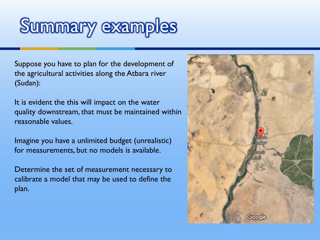
Summary examples Suppose you have to plan for the development of the agricultural activities along the Atbara river (Sudan): It is evident the this will impact on the water quality downstream, that must be maintained within reasonable values. Imagine you have a unlimited budget (unrealistic) for measurements, but no models is available. Determine the set of measurement necessary to calibrate a model that may be used to define the plan.
Water quality data will certainly represent different flow and temperature regimes. Even adopting a simple St-P model, we need to express the parameter values as a function of temperature T and flow Q. Thus, for instance, k1(degradation)=k1(T,Q) = p1 p2(T-20) + p3 Qp4 k2(reaeration)=k2(T,Q) = p5 Qp6 p7(T-20) The parameters to be estimated (assuming they are constant along each river reach) are 7 > 2. We need a at least 70-100 values + validation for every reach.
Assume the lake is known to have eutrophication problems, how should we proceed to define a restoration plan?
ELCOM-CAEDYM Cryptosporidium concentrations (oocysts/10L) as a slice through Myponga Reservoir), South Australia, following a large runoff event, and oocyst concentrations as a function of time for three depths near the offtake (left) from: http://dx.doi.org/10.5772/55367
Automatic Water Quality Measurement Systems Drone imagery for data collection Sampling drones Robot sampling boat
ADDITIONAL USEFUL VIDEOS Economic-Ecological Model of Farmer Land Management Decisions and Water Quality Outcomes https://www.youtube.com/watch?v=Ms3wHR37zuk From minute 15 Overview of Water Quality Models - R. Srinivasan https://www.youtube.com/watch?v=LwDxt6gpvDg&t=2093s first minute Integrated Water Resource Management Model for Great Salt Lake Watershed: Part 2 https://www.youtube.com/watch?v=UVEgbrbCBKQ Reducing the Impacts of Agricultural Nutrients on Water Quality across a Changing Landscape https://www.youtube.com/watch?v=WyAExvIjdig Introduction to WASP https://www.youtube.com/watch?v=i-hiYgspDIE Pollution in The Great Lakes (with considerations on models) https://www.youtube.com/watch?v=6pgQtj9-fY0 Modelling Surface Water, Groundwater and Nitrate Processes in a Restored Riparian Wetland (MIKE SHE) https://www.youtube.com/watch?v=nqP7rl2ez38


 as")