Kiribati National Report on Marine Division Activities
This report sheds light on Kiribati's maritime organization, highlighting challenges faced due to economic vulnerabilities and reliance on foreign aid. It outlines the role of the Marine Division within the Ministry of Infrastructure, outlining its responsibilities as a maritime authority and regulator. The report also discusses the structural evolution of the Marine Division pre and post-independence, emphasizing key functions such as hydrography, nautical charting, and maritime safety.

Download Presentation

Please find below an Image/Link to download the presentation.
The content on the website is provided AS IS for your information and personal use only. It may not be sold, licensed, or shared on other websites without obtaining consent from the author. Download presentation by click this link. If you encounter any issues during the download, it is possible that the publisher has removed the file from their server.
E N D
Presentation Transcript
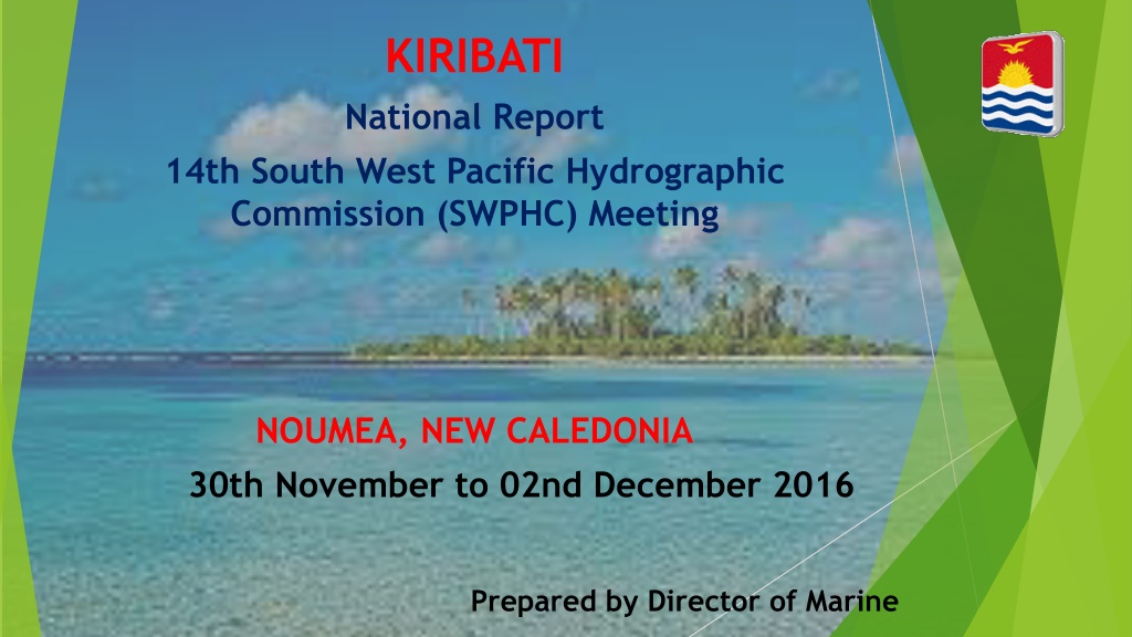
KIRIBATI National Report 14th South West Pacific Hydrographic Commission (SWPHC) Meeting NOUMEA, NEW CALEDONIA 30th November to 02nd December 2016 Prepared by Director of Marine
Presentation Outline 1. Facts about Kiribati 2. Role of Marine Division (MD) in Kiribati 3. Overview of MD Structure Before and After Independence 4. Establishment of New Units within MD 5. PCA, Nautical Charts & Ports 1. Nautical Charts in Order of Priority 6. Assistance from IHO, SWPHC, SPC, IALA, AHS, UKHO 7. Work Done 8. Priorities & Way Forward
1. Facts about Kiribati and its Maritime Organization 33 islands over 3.5 million sq.km
Kiribati, like most small island states in the Pacific, is a Country in need of assistance GDP is the lowest in the region and the economy is heavily dependent on government spending. Economic situation is constrained by its small population and land area, its remoteness, its scattered population centers and its lack of infrastructure and no capability to Hydrography Services. Almost no natural resources and industry and employment options are very limited. Heavily dependent on foreign aid and a net importer, it is economically vulnerable to fluctuations in the A$ and increases in food and fuel prices. Only about 8% of the populations are economically active with many limited to subsistence fishing.
2. ROLE OF MARINE DIVISION WITHIN MICTTD Maritime Authority for GoK Coastal State, Flag State & Port State Regulator for Maritime Safety SOLAS, MARPOL, MLC 2006 Marine Pollution & Accident Investigation Seafarers Registrar STCW 78 (as amended) and STCW F Ships Registrar Conventional & Non-Conventional vessels SAR Coordinator MSI Coordinator Hydrography & Nautical Chartings Channel Upgradings Dredging & Escavating AToNs & maintenance on Aids to Nav Adviser to GoK on all Maritime matters including IMO & ILO Compliance
3. Overview of MD STRUCTURE - Before & After Independence AFTER INDEPENDENCE TIL 2015 BEFORE INDEPENDENCE Structure: 1 DoM 1 MS 1 MO Structure 1 DoM 1 MS 1 MO
Honourable Minister STRUCTURE OF MARINE DIVISION AFTER INDEPENDENCE 1979 TO 2015 SECRETARY DIRECTOR OF MARINE Marine Surveyor Marine Officer SHIP & SEAFARER CLERK 1 SMRO TARAWA 1 SMRO KIRITIMATI 1 Beaconing Supervisor Beaconing Leading Hand MARINE RADIO OPERATORS TARAWA MARINE RADIO OPERATORS KIRITIMATI Beaconing Hand
Honourable Minister 3 POSTS APPROVED IN 2015 MANNED MID 2016 2016 SECRETARY DIRECTOR OF MARINE 1 Marine Surveyor Marine Officer 1 1 Data Base Officer Marine Officer 2 Marine Officer 3 1 Ship & Seafarer Clerk 1 SENIOR MARINE RADIO OFFICER KIRITIMATI 1 SENIOR MARINE RADIO 0FFICER TARAWA 1 BEACONING SUPERVISOR MARINE RADIO OPERATORS 1 BEACONING LEADING HAND MARINE RADIO OPERATORS 2 BEACONING HANDS
2017 2017 NEW MARINE DIVISION STRUCTURE ANOTHER 5 ADDITIONAL POSTS
4. Establishment of the following Units within Marine Division MSI Unit, SAR Unit, Hydrography Unit Database Unit and Renaming of Beaconing Unit to AToN Unit
5.. PCA, Navigational Charts & Kiribati Ports UKHO is GoK PCA Nearly all nautical charts in Kiribati are outdated total of 14 Charts covering the whole of Kiribati published by UKHO at varying scales, Published in the 1950s and 1960s from surveys with data obtained around 1943 and earlier, only BA 731 (Gilbert Group) published in 1994 3 international sea ports Betio Port Kiritimati Port & Tabuaeran Kanton will be build as main port of entry in the PIPA Group
5.1. Kiribati Nautical Charts in order of Priority Tarawa and Port Betio (BA3269, BA700) Kiritimati Atoll (Christmas Island) (BA2867, BA2995) Tabuaeran Atoll, formerly called Fanning Island (BA2971) Aba-Riringa Island (Kanton) (BA184, BA1451) Survey work by RAN and SPC in 2009 and 2015 respectively: New Edition for Betio Port Chart 2015 (BA 3269)
6. Assistance from SPC, UKHO, IALA, IHO, SWPHC & AHS 2015 SPC & AHS in collaboration with ESAT and PRNI Project Funds Surveying of Betio Port by SPC and AHS to upgrade Betio Approaches Nautical Chart - SPC and UKHO CB - assess the progress made against the recommendations made in the associated report done by IHO in 2011. 2016 SPC Gap Analysis in Kiribati existing Acts in compliance to International Maritime Conventions Development of Maritime Transport Policy SPC & IALA & UKHO AToN SOP for Domestic Vessels SON SON Project which Kiribati will be included CME Programme
7. Work Done New Quality Management System in place 3 Posts approved - 2016 5 additional Posts approved for 2017 New Maritime Act in place New legislations adopted as per IMSAS IMO SOLAS MARPOL STCW 78 as amended MLC 2006
Work Done cont Loadline Regulation Tonnage Regulation Collision Regulation Agreements with RO s Transfer of Maritime Authority to Marine Division New Maritime Transport Policy in place Development of the Kiribati National Maritime Transport Committee KNMTC (NHCC) Designation of Kiribati MSI Coordinator
8. Kiribati Priorities - Way Forward o Continuous awareness to Government/Public on obligations for the provision of Hydrographic Services o CB for Hydrography Unit staff o Hydrography Governance, o Development - Legislation on SOLAS Chapter V - Hydrography o Provision of Hydrographic Services o Hydrography Risk Assessment o Provision of MSI to PCA and the regional radio navigational warnings coordinator o Developing a bi-lateral agreement with PCA (UKHO) & with other national hydrographic authorities o In future - keen to be a full member of SWPHC and IHO
THANK YOU THANK YOU