4D Interpolator Development for Sustainable Fisheries Assessment
Development of a 4D interpolator tool to assess and improve sustainable fisheries criteria with higher frequency data and advanced computing techniques. The project involves a multidisciplinary team led by Rebecca Murphy at UMCES, focusing on water quality assessment and criteria evaluation. The timeline spans over several years with various development phases and milestones, ultimately aiming for a more comprehensive and accurate assessment tool for fisheries sustainability.
- Sustainable Fisheries
- Interpolator Development
- Water Quality Assessment
- Data Analysis
- Criteria Evaluation

Download Presentation

Please find below an Image/Link to download the presentation.
The content on the website is provided AS IS for your information and personal use only. It may not be sold, licensed, or shared on other websites without obtaining consent from the author. Download presentation by click this link. If you encounter any issues during the download, it is possible that the publisher has removed the file from their server.
E N D
Presentation Transcript
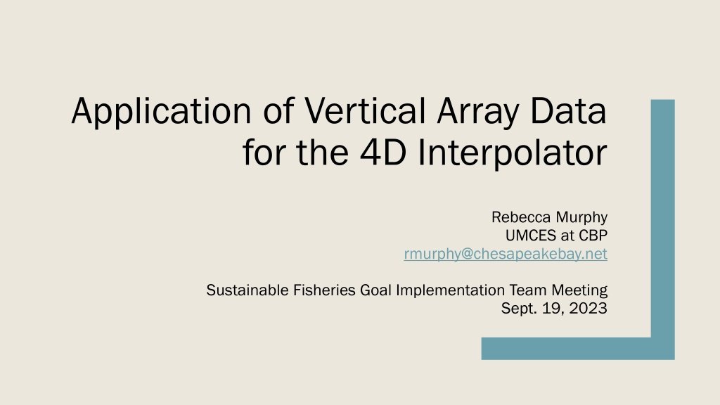
Application of Vertical Array Data for the 4D Interpolator Rebecca Murphy UMCES at CBP rmurphy@chesapeakebay.net Sustainable Fisheries Goal Implementation Team Meeting Sept. 19, 2023 1
4-D interpolator development team BORG = Bay Oxygen Research Group: BORG = Bay Oxygen Research Group: Leadership Peter Tango (USGS/CBP), Rebecca Murphy (UMCES/CBP), August Goldfischer (CRC/CBP) Development to-date Elgin Perry (statistician); Jon Harcum and Erik Leppo (Tetra Tech); Angie Wei and Rebecca Murphy (UMCES/CBP) Guidance, ideas, direction Gary Shenk and Breck Sullivan (USGS/CBP), Isabella Bertani and Richard Tian (UMCES/CBP), Kaylyn Gootman (EPA/CBP), Jim Hagy (EPA) 2
Purpose: Build a tool for more complete criteria assessment DO criteria that currently can be evaluated with existing approaches and data DO criteria that currently can be evaluated with existing approaches and data *Note a 30-day mean 6 mg/L MSN value is evaluated for purpose of the WQ indicator. * * 3 From EPA 2003 Ambient Water Quality Criteria
Purpose: Build a tool for more complete criteria assessment With higher frequency interpolation tool and data With higher frequency interpolation tool and data * * 4 From EPA 2003 Ambient Water Quality Criteria
4-D interpolator development timeline Calendar Year 2022 Q1 Jan- Mar 2023 Q1 Jan- Mar 2024 Q1 Jan- Mar 2025 Q1 Jan- Mar 2026 Q1 Jan- Mar 2027 Q1 Jan- Mar Q2 Apr- Jun Year 1 Q3 Jul- Sep Q4 Oct- Dec Q2 Apr- Jun Year 2 Q3 Jul- Sep Q4 Oct- Dec Q2 Apr- Jun Year 3 Q3 Jul- Sep Q4 Oct- Dec Q2 Apr- Jun Year 4 Q3 Jul- Sep Q4 Oct- Dec Q2 Apr- Jun Year 5 Q3 Jul- Sep Q4 Oct- Dec Q2 Apr- Jun Year 6 Q3 Jul- Sep Q4 Oct- Dec Calendar Quarter Project Year 1. Development-daily estimates (Phase 1) 2. Develoment-hourly estimates (Phase 2) 3. Development - shallow water 4. Development - GIS tasks 5. Development -combined daily & hourly (Phase 3) 6. Development-criteria evaluation 7. Software 8. Documenting 9. Training 10. Year of Review 11. Operational 5
WQ Assessment with 4D interpolator tool WQ data GAMs assessment product Multiple feasible hourly realizations Observed data Mean daily prediction Attainment Statistical simulation From Gary Shenk 6
Uses of the Vertical Array data Exploratory: Examine the DO cycles and patterns Development of 4D hourly interpolation method, including both: Calibration Validation Eventually: Criteria assessment in select segments, and Aid in estimation of high frequency variability in locations without monitoring 7
Uses of the Vertical Array data Exploratory: Examine the DO cycles and patterns Development of 4D hourly interpolation method, including both: Calibration Validation Eventually: Criteria assessment in select segments, and Aid in estimation of high frequency variability in locations without monitoring 8
Example: East Goose Vertical Array Data (grey lines) at dates with fixed station sampling (black line) in 2022 Exploratory work OW As array data becomes available, we are using it to examine short- term variability, and its impact on: DW DC The statistical techniques we use to build the interpolator Pycnocline computation (determining designated use) OW Spatial co-variability of high frequency dynamics DW What we can learn about implementing short-term criteria evaluation Note: on 8/9/22 the array data had an 8- hour gap 9 9 9
Exploratory work Example: Cumulative Frequency of DO levels in each Designated Use from East Goose Profiler DO in 2022 As array data becomes available, we are using it to examine short- term variability, and its impact on: The statistical techniques we use to build the interpolator Pycnocline computation (determining designated use) Spatial co-variability of high frequency dynamics What we can learn about implementing short-term criteria evaluation 10 10 10 10 10 10
Uses of the Vertical Array data Exploratory: Examine the DO cycles and patterns Development of 4D hourly interpolation method, including both: Calibration Validation Eventually: Criteria assessment in select segments, and Aid in estimation of high frequency variability in locations without monitoring 11
Method development with high frequency data Example: Current processing technique from Tetra Tech team using East Goose s array in 2022 at 9m Download, read codes, plot Interpolate short gaps and delimit blocks by longer gaps From Jon Harcum (Tetra Tech) 12
Method development with high frequency data Download, read codes, plot Example: Wavelet analysis of gap-filled data to identify cycles Interpolate short gaps and delimit blocks by longer gaps Do a wavelet analysis for each depth and block Identify common cycles at each depth (tidal, daily, etc) From Elgin Perry 13
Method development with high frequency data Download, read codes, plot Example: Fourier analysis with just daily cycle to fit hourly DO (DOh) Interpolate short gaps and delimit blocks by longer gaps ?? ? ?? ?? ? ?? ???= ?? ? + ?? ??? + ?? ??? + ?? ? = Do a wavelet analysis for each depth and block h = hour 1:24 coefficients Identify common cycles at each depth (tidal, daily, etc) From Elgin Perry Explore for relationships to other features (depth, month, DO, flow) Fit coefficients of Fourier analysis for each observed cycle 14
Method development with high frequency data Download, read codes, plot 4d Spatial & temporal estimates of DO 4d Spatial & temporal estimates of DO Interpolate short gaps and delimit blocks by longer gaps d1, t1 d2, t1 d3, t1 Do a wavelet analysis for each depth and block d1, t2 d2, t2 Identify common cycles at each depth (tidal, daily, etc) d3, t2 Explore for relationships to other features (depth, month, DO, flow) Fit coefficients of Fourier analysis for each observed cycle Ultimately: generate hourly DO estimate bay-wide that are calibrated and validated with observed data
Locations? Discussion is ongoing for location of future arrays with the Hypoxia Collaborative Team. 4 4- -D team thoughts (input here from Peter Tango): D team thoughts (input here from Peter Tango): Pairing stations within a region may be useful, including: Spanning the boundaries of hypoxic zone Pairing stations laterally in a wide segment Making shallow-to-deep station matches Duration considerations: Year-round is ideal b/c there are 12-month criteria 3-year periods important for assessment Long-term deployments will be useful for dynamic modeling needs and tracking trends related to climate change But almost any location will be helpful for our 4D method development because we have many gaps in high frequency DO knowledge. Collaborating with fisheries needs makes a lot of sense. These and more diverse needs may lead to hybrid approach of some long-term stations and some 3-year rotating stations. 16


 at")