Enhancing Wheelchair Accessibility Project Overview
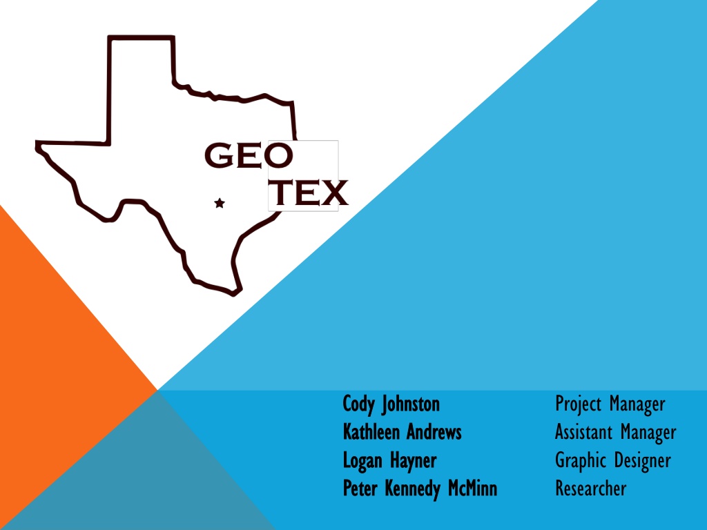


Cody Johnston
Project Manager
Kathleen Andrews
Assistant Manager
Logan Hayner
Graphic Designer
Peter Kennedy McMinn
Researcher

SUMMARY
Steep terrain on campus
Difficult for people with disabilities to navigate
Benefits of redesigning ADA wheelchair routes
Verify that existing routes meet ADA regulations
Routes will be more safe and less strenuous
Provide quick and easy paths to navigate between
buildings
New routes will account for current and future construction
projects
PURPOSE
The ultimate goal of the project is to provide 100%
wheelchair accessibility to every building and area on
campus
New wheelchair route map will be as detailed and
easy to use as possible
SCOPE
GeoTex will propose the construction or creation of the following to
circumnavigate the obstacles listed above:
Wheelchair ramps
Sidewalks
Wheelchair accessible curb ramps
Wheelchair accessible buildings and elevators
Handrails
GeoTex will focus on navigating around the following obstacles:
Areas with steep slopes
Construction sites
Areas without sidewalks
Sidewalks without wheelchair accessible curb ramps
Buildings
All routes defined by GeoTex will comply with the
applicable guidelines set out by the ADA, the most
relevant guidelines to this project are the following:
Slope: maximum slope on any section of a route
may not exceed 1:20 without a ramp.
Curb ramps: all transitions from sidewalk to street
crossing require some form of curb ramp. These
may require flared sides based or returned curbs
based on location.
Ramps: any section of a route with a slope
exceeding 1:20 must have a ramp. Ramps must
not have a slope exceeding 1:50.
REGULATIONS
LITERATURE REVIEW
“Using GIS to Meet Accessibility Requirements”
– Jim Baumann
City of San Francisco, CA, using a geodatabase to install 15,000 curb ramps
by 2017 to meet federal requirements
Create an online map that is updated regularly and available to the public
“Curb Ramps, the San Francisco Way”
– Michelle Ohmes
Critique of San Francisco’s curb-ramp map and installation plan by
Americans with Disabilities Act consultant
Online map is easy to use and understand, and installation plan is concise,
yet thorough
“I strongly suggest other public agencies use this model as a guide for
putting together their overview transition plan for curbs and sidewalks.”
DATA
Existing data from the following datasets will be used:
Facilities Planning Design: University Property, ADA
Routes, sidewalks, building interiors, recycle bins,
surfaces, lakes, greenzone, golf fairways, golf greens.
Department of Geography: Sidewalks, streets, campus
buildings, topography, parking.
To be collected or verified by the GeoTex team:
Routes through buildings, verification of slope,
verification of routes, curb cut locations.
METHODOLOGY
Data Collection/Preparation
We have been provided with the majority of data
needed to complete the project, but Texas State
has a lot of construction zones that need to be
taken into account.
The locations of construction zones and any other
obstructions will be recorded in the field using a
GPS receiver, and used in the routing process.
METHODOLOGY
Data Analysis/Routing
After obtaining the locations of obstructions…
Reclassify slope using pass/fail method (5%
slope for non-ramps and 2% slope for ramps)
Begin routing process using cost path analysis
with obstructions and slopes that exceed the
ADA’s regulations routed around
METHODOLOGY
Verification of Results
After wheelchair routes have been created in ArcMap,
the team will verify the results in the field.
Primary Concerns: Adherence to ADA slope and
curb ramp regulations.
Other Concerns: Proximity of construction projects
and disturbed terrain. Acceptability of routes
through building interiors.
METHODOLOGY
Redesign of Routes and Suggested Actions
Any routes which are deemed unacceptable will be
reanalyzed and redesigned
If any unsatisfactory routes between any two buildings
remain after this process, the team will suggest possible
measures to make these routes acceptable.
Possible actions
Construction of ramps, bridges, sidewalks, or handrails.
Addition of elevators or automatic doorways to building
interiors.
BUDGET
Data Collection- $1,000
Data Analysis- $8,400
System Management- $2,700
Equipment Costs- $3,750
Website Costs-$2,100
Total-
$17,950
TIMETABLE
The project will take place in several key stages of development that build upon each
other. Some important stages and key dates include:
Data Collection:
Complete no later than February 5
th
Data Preparation:
Projected start date of February 5th finish date of February
26
th
Data Analysis:
Projected start date of February 17
th
and finish date of April 2
nd
Data Interpretation:
Projected start date of April 2
nd
and finish date of April 9
th
TIMELINE
DELIVERABLES
Final Report (2 copies)
Professional Map
Campus map of wheelchair accessible routes
Project Website
CD (2 copies)
Data
Metadata
Proposal, Progress, and Final Reports
PowerPoint Presentations
Map
CONCLUSION
GeoTex will create an up-to-date map of current wheelchair accessible routes
around the Texas State campus.
We will use a combination of GIS and field work to gather data used to create the
final map
Map will be available to all students, faculty, and visitors to Texas State University.
Our final campus map will adhere to all guidelines set forth in the Americans with
Disabilities Act.
QUESTIONS
OR
CONCERNS?
Steep terrain on campus creates challenges for individuals with disabilities, prompting the need to redesign ADA wheelchair routes to ensure compliance and improve safety. The project aims to provide 100% wheelchair accessibility across campus, mapping detailed routes for easy navigation. GeoTex will propose solutions such as wheelchair ramps, sidewalks, and accessible buildings to overcome obstacles like steep slopes and construction sites.

Uploaded on Dec 07, 2024 | 0 Views
Download Presentation

Please find below an Image/Link to download the presentation.
The content on the website is provided AS IS for your information and personal use only. It may not be sold, licensed, or shared on other websites without obtaining consent from the author. Download presentation by click this link. If you encounter any issues during the download, it is possible that the publisher has removed the file from their server.
E N D
Presentation Transcript
Cody Johnston Cody Johnston Kathleen Andrews Kathleen Andrews Logan Logan Hayner Hayner Peter Kennedy McMinn Peter Kennedy McMinn Project Manager Assistant Manager Graphic Designer Researcher
SUMMARY Steep terrain on campus Steep terrain on campus Difficult for people with disabilities to navigate Difficult for people with disabilities to navigate Benefits of redesigning ADA wheelchair routes Benefits of redesigning ADA wheelchair routes Verify that existing routes meet ADA regulations Routes will be more safe and less strenuous Provide quick and easy paths to navigate between buildings New routes will account for current and future construction projects
PURPOSE The ultimate goal of the project is to provide 100% The ultimate goal of the project is to provide 100% wheelchair accessibility to every building and area on wheelchair accessibility to every building and area on campus campus New wheelchair route map will be as detailed and New wheelchair route map will be as detailed and easy to use as possible easy to use as possible
SCOPE GeoTex GeoTex will propose the construction or creation of the following to will propose the construction or creation of the following to circumnavigate the obstacles listed above: circumnavigate the obstacles listed above: Wheelchair ramps Sidewalks Wheelchair accessible curb ramps Wheelchair accessible buildings and elevators Handrails GeoTex GeoTex will focus on navigating around the following obstacles: will focus on navigating around the following obstacles: Areas with steep slopes Construction sites Areas without sidewalks Sidewalks without wheelchair accessible curb ramps Buildings
REGULATIONS All routes defined by All routes defined by GeoTex applicable guidelines set out by the ADA, the most applicable guidelines set out by the ADA, the most relevant guidelines to this project are the following: relevant guidelines to this project are the following: Slope: maximum slope on any section of a route may not exceed 1:20 without a ramp. Curb ramps: all transitions from sidewalk to street crossing require some form of curb ramp. These may require flared sides based or returned curbs based on location. Ramps: any section of a route with a slope exceeding 1:20 must have a ramp. Ramps must not have a slope exceeding 1:50. GeoTex will comply with the will comply with the
LITERATURE REVIEW Using GIS to Meet Accessibility Requirements Using GIS to Meet Accessibility Requirements Jim Baumann City of San Francisco, CA, using a geodatabase to install 15,000 curb ramps by 2017 to meet federal requirements Create an online map that is updated regularly and available to the public Curb Ramps, the San Francisco Way Curb Ramps, the San Francisco Way Michelle Ohmes Critique of San Francisco s curb-ramp map and installation plan by Americans with Disabilities Act consultant Online map is easy to use and understand, and installation plan is concise, yet thorough I strongly suggest other public agencies use this model as a guide for putting together their overview transition plan for curbs and sidewalks.
DATA Existing data from the following datasets will be used: Existing data from the following datasets will be used: Facilities Planning Design: University Property, ADA Routes, sidewalks, building interiors, recycle bins, surfaces, lakes, greenzone, golf fairways, golf greens. Department of Geography: Sidewalks, streets, campus buildings, topography, parking. To be collected or verified by the To be collected or verified by the GeoTex Routes through buildings, verification of slope, verification of routes, curb cut locations. GeoTex team: team:
METHODOLOGY Data Collection/Preparation Data Collection/Preparation We have been provided with the majority of data needed to complete the project, but Texas State has a lot of construction zones that need to be taken into account. The locations of construction zones and any other obstructions will be recorded in the field using a GPS receiver, and used in the routing process.
METHODOLOGY Data Analysis/Routing Data Analysis/Routing After obtaining the locations of obstructions After obtaining the locations of obstructions Reclassify slope using pass/fail method (5% slope for non-ramps and 2% slope for ramps) Begin routing process using cost path analysis with obstructions and slopes that exceed the ADA s regulations routed around
METHODOLOGY Verification of Results Verification of Results After wheelchair routes have been created in After wheelchair routes have been created in ArcMap the team will verify the results in the field. the team will verify the results in the field. Primary Concerns: Adherence to ADA slope and curb ramp regulations. Other Concerns: Proximity of construction projects and disturbed terrain. Acceptability of routes through building interiors. ArcMap, ,
METHODOLOGY Redesign of Routes and Suggested Actions Redesign of Routes and Suggested Actions Any routes which are deemed unacceptable will be Any routes which are deemed unacceptable will be reanalyzed and redesigned reanalyzed and redesigned If any unsatisfactory routes between any two buildings If any unsatisfactory routes between any two buildings remain after this process, the team will suggest possible remain after this process, the team will suggest possible measures to make these routes acceptable. measures to make these routes acceptable. Possible actions Construction of ramps, bridges, sidewalks, or handrails. Addition of elevators or automatic doorways to building interiors.
BUDGET Data Collection Data Collection- - $1,000 Data Analysis Data Analysis- - $8,400 System Management System Management- - $2,700 Equipment Costs Equipment Costs- - $3,750 Website Costs Website Costs- -$2,100 Total Total- - $17,950 $17,950 $1,000 $8,400 $2,700 $3,750 $2,100
TIMETABLE The project will take place in several key stages of development that build upon each The project will take place in several key stages of development that build upon each other. Some important stages and key dates include: other. Some important stages and key dates include: Data Collection: Data Collection: Complete no later than February 5th Data Preparation: Data Preparation: Projected start date of February 5th finish date of February 26th Data Analysis: Data Analysis: Projected start date of February 17th and finish date of April 2nd Data Interpretation: Data Interpretation: Projected start date of April 2nd and finish date of April 9th
TIMELINE Week 1-2 Week 3-4 Week 5-6 Week 7-8 Week 9-10 Week 11- 12 Week 13- 14 Week 15 Task: Jan. 19 Feb. 1 Feb. 2-15 Feb. 16 Mar. 1 Mar. 2 - 15 Mar. 16 - 29 Apr. 27 May 2 Mar. 30 Apr. 12 Apr. 13 - 26 Client Presentation Jan. 22 Target Finish: Feb. 5 Target finish: Feb. 10 Data Collection Proposal Preparation Proposal Presentation Data Preparation Feb. 19 Begin by: Feb. 5 Target Finish: Feb. 26 Begin Analysis: Feb. 17 Target Finish: Apr. 2 Data Analysis Mar. 24 Progress Update Begin by: Apr. 2 Target Finish: Apr. 9 Begin by: Apr. 7 Data Interpretation Target Finish: Apr. 23 Final Presentation Preparation Final Presentation May 2
DELIVERABLES Final Report (2 copies) Final Report (2 copies) Professional Map Professional Map Campus map of wheelchair accessible routes Project Website Project Website CD (2 copies) CD (2 copies) Data Metadata Proposal, Progress, and Final Reports PowerPoint Presentations Map
CONCLUSION GeoTex will create an up-to-date map of current wheelchair accessible routes around the Texas State campus. We will use a combination of GIS and field work to gather data used to create the final map Map will be available to all students, faculty, and visitors to Texas State University. Our final campus map will adhere to all guidelines set forth in the Americans with Disabilities Act.
QUESTIONS QUESTIONS OR OR CONCERNS? CONCERNS?