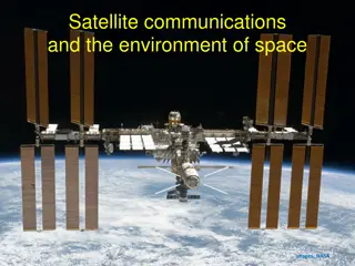
Satellite Technology in Meteorological Forecasting
Egbert Quatre, a Forecasting Officer, utilizes satellite technology for weather forecasting. He uses EUMETSAT and Fengyun satellites to analyze cloud features, weather patterns, and extreme events. Challenges include the lack of now-casting tools and the need for more trained forecasters in Satellite Meteorology.

Download Presentation

Please find below an Image/Link to download the presentation.
The content on the website is provided AS IS for your information and personal use only. It may not be sold, licensed, or shared on other websites without obtaining consent from the author. Download presentation by click this link. If you encounter any issues during the download, it is possible that the publisher has removed the file from their server.
E N D
Presentation Transcript
CURENT SATELLITE BEING USED EUMETSAT PUMA PROJECT Meteosat second generation (MSG-IODC) Image data (Level 1 products) Level 2 meteorological products (Not available) Fengyun (FY-2G) At the moment reception is not so reliable INSAT(Web platform) Real time INSAT (3D & 3R) Satellite Imageries and products (Internet platform) FENGYUN STATELLITE WEATHER APPLICATION PLATFORM Fengyun-2H
USE OF SATELLITE PRODUCTS Meteosat second generation (MSG-IODC) from Eumetsat is mostly used. When forecasting, different channels are used to compare the clouds and also features such as over-shooting tops In daily forecasting the IR 10.8, the Vis 0.6, the WV6.2 and the HRV are mostly used. The RGB channels are also used, mainly the microphysics, dust and airmass channel. There is also a colour composite channel which is good for detecting low level clouds
SATELLITES DERIVED PRODUCTS These products are used mainly for forecasting extreme weather events (Nowcasting)and some examples are: Precipitation Estimates, Stability indices, Precipitable water content
USE OF FENGYUN SATELLITES Reception of the FENGYUN satellite is through the EUMETSAT platform via the PUMA workstation. At the moment only FY2G is available on the PUMA workstation but the reception is not so reliable. We also receive satellite images via internet (SWAP). In our daily forecasting we use FY-2H The FENGYUN satellite is very useful especially during the cyclone season as we can monitor the systems as it develops in the east.
CHALLENGES Lack of now-casting tools/products for forecasting of mes0-scale systems such as flash floods (derived products) Need for more forecasters to be trained in Satellite Meteorology (use of SWAP) Need to strengthen the observation network