Virtual Groundwater Research Lab Solutions
CeRDI from the Centre for eResearch and Digital Innovation focuses on creating virtual groundwater research laboratories using interoperable technologies. They address challenges such as providing access to complex data, incorporating qualitative and quantitative data into models accurately, harnessing Citizen Science for crowd-sourced data, and utilizing digital technologies to avoid redundant scientific processes. The initiative involves end users from various sectors accessing and utilizing groundwater data through web services, conversion, and integration of multiple data sources. Collaboration with international research organizations and institutions further enhances the project's impact and reach.

Uploaded on Sep 21, 2024 | 0 Views
Download Presentation

Please find below an Image/Link to download the presentation.
The content on the website is provided AS IS for your information and personal use only. It may not be sold, licensed, or shared on other websites without obtaining consent from the author. Download presentation by click this link. If you encounter any issues during the download, it is possible that the publisher has removed the file from their server.
E N D
Presentation Transcript
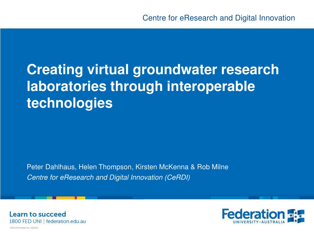
Centre for eResearch and Digital Innovation Creating virtual groundwater research laboratories through interoperable technologies Peter Dahlhaus, Helen Thompson, Kirsten McKenna & Rob Milne Centre for eResearch and Digital Innovation (CeRDI)
CeRDI eResearch How do we provide access to big and complex data in a way that people can use easily but without biasing the data? How do we incorporate qualitative data and quantitative data into models and maintain accuracy? How can we harness Citizen Science and include crowd- sourced data and maintain accuracy? Can we use digital technologies to we ensure that we don t keep repeating the same science? Groundwater: Challenges and Strategies - 41st IAH International Congress, Marrakech, September 15-19, 2014 2
CeRDI End users, e.g. Browser, mobile application, desktop application, etc. Used by: government, business, media outlet, researcher, farmer, citizen, etc. Access, use, extension Output as: web services (W3C, OGC compliant) Organisation data conversion Input as: Groundwater data Data, map layers, grids, text and imagery in native format (or web services) Geological data Data, information Soil data Crowd sourced data Third party, e.g. State agencies, research organisations, consultancies, business, etc. Groundwater: Challenges and Strategies - 41st IAH International Congress, Marrakech, September 15-19, 2014 3
CeRDI Groundwater: Challenges and Strategies - 41st IAH International Congress, Marrakech, September 15-19, 2014 4
Participants CeRDI Geological Survey of Canada (GSC), Canada United State Geological Survey (USGS), USA Commonwealth Scientific and Industrial Research Organisation (CSIRO), Australia European Commission, Directorate General Joint Research Centre (JRC), European Union Federation University Australia (FedUni), Australia Geological Surveys of Germany (GSG), Germany British Geological Survey (BGS), U.K. Bureau de Recherche G ologiques et Mini res (BRGM), France International Groundwater Resources Assessment Centre (IGRAC), UNESCO Salzburg University (U Salzburg), Austria Bureau of Meteorology (BoM), Australia Polish Geological Institute (PGI), Poland Groundwater: Challenges and Strategies - 41st IAH International Congress, Marrakech, September 15-19, 2014 5
CeRDI Groundwater Markup Language - GroundWaterML2.0 (GWML2) is designed to enable a variety of data exchange scenarios. These scenarios are captured by its five motivating use cases, including: (1) a commercial use-case focused on drilling water wells with knowledge of aquifers, (2) a policy use case concerned with the management of groundwater resources, (3) an environmental use-case that considers the role of groundwater in natural eco-systems, (4) a scientific use-case concerned with modeling groundwater systems, and (5) a technologic use-case concerned with interoperability between diverse information systems and associated data formats. Groundwater: Challenges and Strategies - 41st IAH International Congress, Marrakech, September 15-19, 2014 6
The GroundWaterML2 schemas are organized into 5 modular packages: (1) Nucleus: core elements such as aquifers, their pores, and fluid bodies. (2) Constituent: the biologic, chemical, and material elements of a fluid body. (3) Flow: groundwater flow within and between containers. (4) Well: water wells, springs, and monitoring sites. (5) WellConstruction: the components used to construct a well. CeRDI Groundwater: Challenges and Strategies - 41st IAH International Congress, Marrakech, September 15-19, 2014 7
CeRDI www.vvg.org.au Groundwater: Challenges and Strategies - 41st IAH International Congress, Marrakech, September 15-19, 2014 8
Bores from 4 different databases + springs
Links to bore data
Bore location & construction Aquifer parameters Waterlevel monitoring Groundwater chemistry Bore lithology Stratigraphy Links to: Photos Documents Maps & sections
Groundwater chemistry Waterlevel monitoring
Predictions of depth to watertable, groundwater quality, surface elevation and basement elevation e.g. ground- water salinity
CeRDI Interactive 3D views Groundwater: Challenges and Strategies - 41st IAH International Congress, Marrakech, September 15-19, 2014 14
CeRDI Groundwater: Challenges and Strategies - 41st IAH International Congress, Marrakech, September 15-19, 2014 15
CeRDI Cross-section tool Groundwater: Challenges and Strategies - 41st IAH International Congress, Marrakech, September 15-19, 2014 16
CeRDI Groundwater: Challenges and Strategies - 41st IAH International Congress, Marrakech, September 15-19, 2014 17
CeRDI Groundwater: Challenges and Strategies - 41st IAH International Congress, Marrakech, September 15-19, 2014 18
Access to rare spatial data (e.g. Ballarat Water Board maps from 1870)
CeRDI spatial.federation.edu.au Branching into other data sets: soils, agriculture, biodiversity, fire, history, etc. Allows integration of cross-disciplinary data sets Groundwater: Challenges and Strategies - 41st IAH International Congress, Marrakech, September 15-19, 2014 New discoveries 21