Food Security Challenges and Opportunities in District Kinnaur, Himachal Pradesh
Explore the challenges and opportunities in ensuring food security in District Kinnaur, Himachal Pradesh. The district faces issues related to geographical area, demographic profile, and food insecurity among various livelihood groups. Strategies are needed to address these challenges and enhance food security in the region.

Download Presentation

Please find below an Image/Link to download the presentation.
The content on the website is provided AS IS for your information and personal use only. It may not be sold, licensed, or shared on other websites without obtaining consent from the author. Download presentation by click this link. If you encounter any issues during the download, it is possible that the publisher has removed the file from their server.
E N D
Presentation Transcript
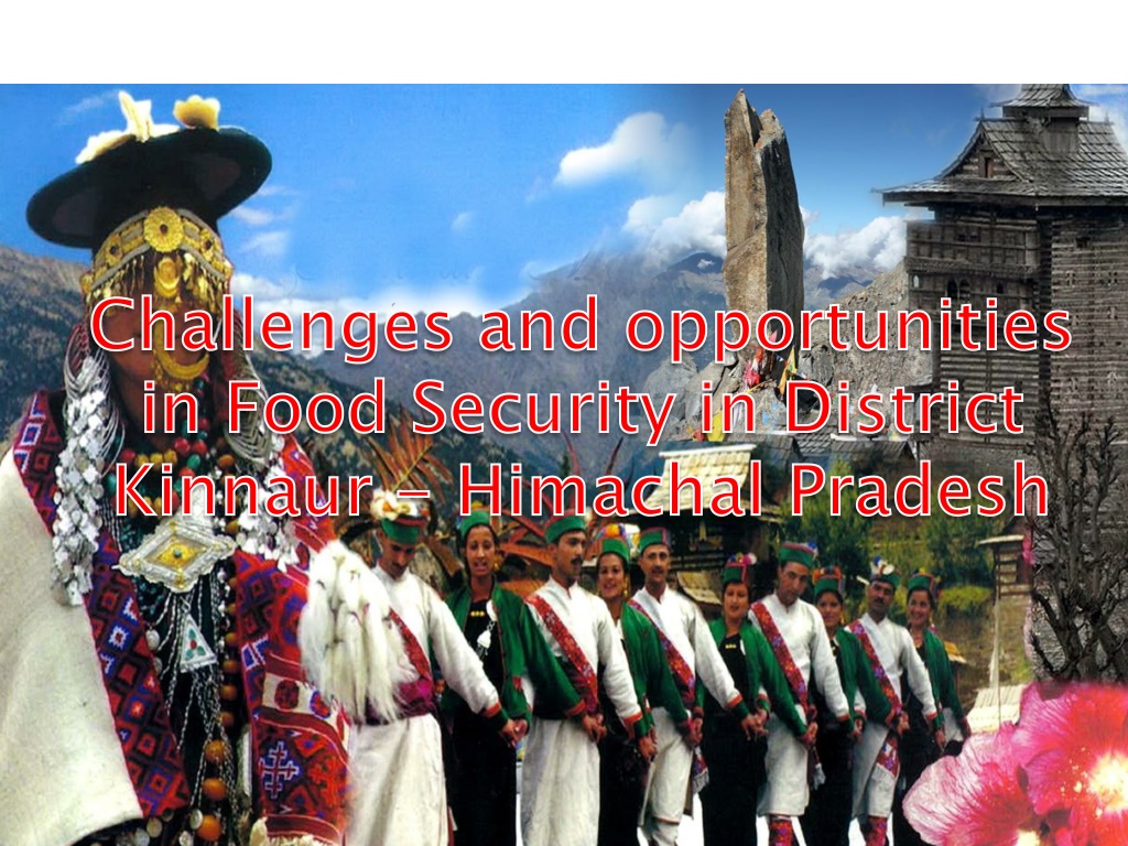
Challenges and opportunities in Food Security in District Kinnaur Challenges and opportunities in Food Security in District Kinnaur - - Himachal Pradesh Himachal Pradesh
55673 Sq Km [2 D Area] 86384 Sq Km [3 D Area] Percentage increase as per 3D area = 56%
District wise 3D and 2D geographical area District 2D area (sq. kms.) 3D area (sq. kms.) 1. 2. 3. 4. 5. 6. 7. 8. 9. 10. 11. 12. Bilaspur Chamba Hamirpur Kangra Kinnaur Kullu Lahaul & Spiti Mandi Shimla Sirmour Solan Una Himachal Pradesh 1167.00 6528.00 1118.00 5739.00 6401.00 5503.00 13835.00 3950.00 5131.00 2825.00 1936.00 1540.00 55673.00 1327.0252 11674.5283 1146.642 7088.4325 11762.311 9693.987 22892.628 5402.766 7888.039 3654.497 2284.508 1569.406 86384.769 The 3 D Geographical Area is 56% higher than the 2 D area. Hilly States need to be suitably compensated for this area handicap in THFC devolution formula
Introduction to Himachal Pradesh Unit 2011 Census 55673(2D Area) 86384(3DArea) 12 123 78 Area Sq. Kms. Districts Tehsils Development Blocks Census Village s Gram Panchayats Towns No. No. No. No. No. 20690 3243 No. 57
Demographic Profile of the State HP All India 6.8 1121 Population (million) (Census 2011) 12.94 17.64 Decennial Growth Rate(%) 123 382 Population Density per sq. km. 972 943 Sex Ratio (Females per 1000 males) 89.96 68.84 Rural Population 82.80 73.0 Literacy Rates 70.0 66.1 Life Expectancy (2006-10) 67.7 64.6 Male 72.4 67.7 Female Forest Area as a %age of total Forest Area as a %age of total Area Area 66.5% 66.5% 21.0% 21.0%
Food insecure livelihood groups Subsistence farming households Marginal ,commercial farming households Agricultural labouring households Migratory labouring households(non-farm) Pastoralist tribal households
Challenges in High altitude areas Loss of agro-biodiversity Loss of cultural values and traditional wisdom Changing climate pattern and resultant Disasters Negative impact of development
Loss of Agro-biodiversity Loss of Millets-(traditional crops) Dryland farming Sustainability Kuth, koda, sattu, chulli, chilgoza Nutritional value
Loss of cultural values and traditional wisdom Intrusion of outside people Lack of livelihood opportunities Polyandry system.
Climate induced Hazards Landslides Erosion Avalanches Glaciers lake outburst floods Cloudburst Flashfloods
Glacier Land Slide : Pareechu Lake in Tibet Rising Risk of Massive Flash Floods Downstream in India Lake formed Due to Landslide (August 2004) Overflow Part of Sutlej Basin Using IRS-P6 LISS-4 MSS Image Blockade Lake Area prior to the lake formation (May 2004) Water spread ~ 193 ha Threat of massive flash floods
LANDSLIDE NEAR VILLAGE LIPPA IN KINNAUR CAUSING DANGER TO INHABITED AREAS
KHADRALA LANDSLIDE ALONG NH-22 CAUSED THE BURIAL OF MILITARY CONVOY
LANDSLIDE SHOLDING NALA IN KINNAUR ACTIVATION IN THE
DUST POLUTION DUE TO UNSCIENTIFIC & ILLEGAL CONSTRUCTION ACTIVITIES OF J.K.H.C.L.
DENSITY OF FOREST PRIOR TO CONSTRUCTION DAMAGED DONE TO ADJOINING FOREST AFTER CONSTRUCTION WORK STARTED
Developmental hazards Environment degradation due to HE Projects Degradation due to Roads constructions Air pollution Landslides Drying of water resources Dumping of Muck Heavy and uncontrolled blasting Degradation of agricultural land Degradation of soil Loss of productivity of agricultural and Horticultural crops
Micro-climate change Erratic behavior of climate Excessive rains/no rains
Opportunities Improved accessibility Niche habitat Access to Hydro economy Tourism and eco-tourism opportunities. Climate change - a boon in some areas. Check on migration.