Weather Update and Forecast for Guam
Shear line just north of Guam is influencing showers and stronger NE winds, with a tropical disturbance expected to increase rain chances. The moisture content is high, and a frontal passage is forecasted for late Thursday, bringing NW winds. The air mass is becoming moister and warmer, with the focus of convection shifting northward. The current weather conditions and trends suggest potential changes in precipitation patterns.
Download Presentation

Please find below an Image/Link to download the presentation.
The content on the website is provided AS IS for your information and personal use only. It may not be sold, licensed, or shared on other websites without obtaining consent from the author.If you encounter any issues during the download, it is possible that the publisher has removed the file from their server.
You are allowed to download the files provided on this website for personal or commercial use, subject to the condition that they are used lawfully. All files are the property of their respective owners.
The content on the website is provided AS IS for your information and personal use only. It may not be sold, licensed, or shared on other websites without obtaining consent from the author.
E N D
Presentation Transcript
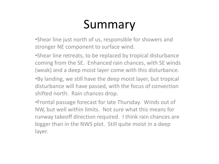
Summary Shear line just north of us, responsible for showers and stronger NE component to surface wind. Shear line retreats, to be replaced by tropical disturbance coming from the SE. Enhanced rain chances, with SE winds (weak) and a deep moist layer come with this disturbance. By landing, we still have the deep moist layer, but tropical disturbance will have passed, with the focus of convection shifted north. Rain chances drop. Frontal passage forecast for late Thursday. Winds out of NW, but well within limits. Not sure what this means for runway takeoff direction required. I think rain chances are bigger than in the NWS plot. Still quite moist in a deep layer.
Latest Guam sounding (10 last night) shows dry air except for the lowest levels. Sharp tropopause at about 55kft, rapidly increasing temps above.
Sat image shows the front/shear line north of us (in the northern Marianas per NWS discussion). TD Lingling is east of Mindanao, heading northeastward. Strong convection has developed near (132,22) in the past 24 hours in association with the front. Focus of convection (global tropics) is at 130-150, with cloud tops reaching the CPT.
1000 mb shows shear line north of us. Winds at AAFB have shifted, as per forecast, to 15 knots at 45, from weak easterlies yesterday. Note disturbance to the southeast
Current upper to mid levels. See dry air over Guam, with moisture associated with shear line to the north, and tropical moist air to the south
By takeoff time, disturbance to the SE has moved northwestward, expect enhanced precip. Basic picture is that air is now coming from the tropics, and is moister over greater depth than the trade wind regime we have had. Shear line has retreated, but can see strong development to the WNW as tropical air moves north, midlatitude air moves south.
By takeoff time, dry air at mid levels has been replaced by moist air. (upper levels also). Icing is rarely in the official forecast but the moist layer will clearly be deeper, if not at takeoff time, then soon after
Landing time. Winds SE, but weak, should be within limits. Focus of convection is north of us. NWS rain chances drop, consistent with this picture.
53 kft temperatures forecast. Note extensive region of 185K temps to SE. Anticyclone centered just west of the dateline at about 16N. Good opportunity to sample output from past convection on both northern and southern sides of anticyclone.
Overall convection in our region is northwest of us and in our own region, less so in the ITCZ.
