Weather Impact on Drones and Aircraft Performance
Delve into the influence of weather conditions on drones and aircraft operations. Explore different types of drones, sensors, and aircraft performance in various weather scenarios. Discover how wind, visibility, and FAA tests affect flight safety. Learn about sources of weather information like METAR and TAF reports, along with automated weather systems at airports. Uncover the significance of weather considerations in aviation, including implications for ground speed, battery life, remote sensing data, and maintaining visual line of sight. Be informed about how shifting winds and severe weather phenomena can impact flight dynamics.

Download Presentation

Please find below an Image/Link to download the presentation.
The content on the website is provided AS IS for your information and personal use only. It may not be sold, licensed, or shared on other websites without obtaining consent from the author.If you encounter any issues during the download, it is possible that the publisher has removed the file from their server.
You are allowed to download the files provided on this website for personal or commercial use, subject to the condition that they are used lawfully. All files are the property of their respective owners.
The content on the website is provided AS IS for your information and personal use only. It may not be sold, licensed, or shared on other websites without obtaining consent from the author.
E N D
Presentation Transcript
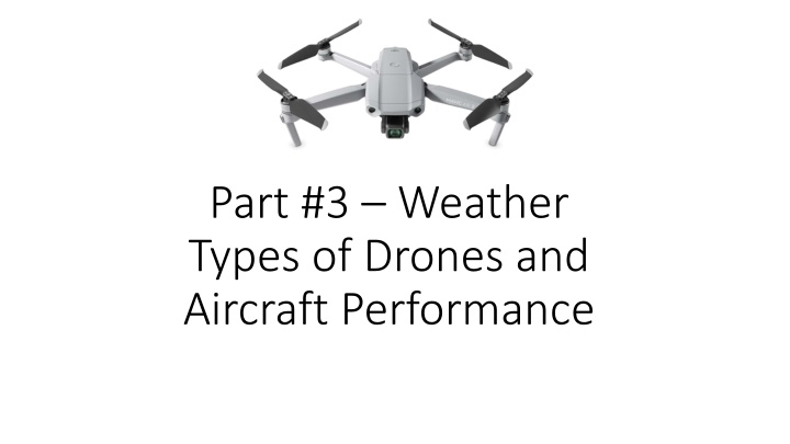
Part #3 Weather Types of Drones and Aircraft Performance
Overview Weather Types of Drones Drone Sensors (Cameras) Aircraft Performance
Weather Wind Visibility FAA Test
Sources of Weather Information Services like WeatherUnderground and Acuweather Aviation products. Mostly clouds and winds. https://www.aviationweather.gov/ METAR (hourly reports from airports) TAF (Forecasts) Automated weather stations -- AWOS or ASOS.
METAR KCIC 192347Z 30013KT 80SM FEW070 26/05 A3003 METAR for: Text: Temperature: Dewpoint: 5.0 C ( 41 F) [RH = 26%] Pressure (altimeter): Winds: from the WNW (300 degrees) at 15 MPH (13 knots; 6.7 m/s) Visibility: 80 sm (129 km) Ceiling: at least 12,000 feet AGL Clouds: few clouds at 7000 feet AGL KCIC (Chico Muni, CA, US) KCIC 192347Z 30013KT 80SM FEW070 26/05 A3003 26.0 C ( 79 F) 30.03 inches Hg (1017.0 mb)
TAF KSMF 192335Z 2000/2024 36009KT P6SM FEW250 FM201500 34012KT P6SM SKC TAF for: KSMF (Sacramento Intl, CA, US) issued at 2335 UTC 19 Sep 2021 Text: KSMF 192335Z 2000/2024 36009KT P6SM FEW250 Forecast period:0000 to 1500 UTC 20 September 2021 Forecast type: FROM: standard forecast or significant change Winds: from the N (360 degrees) at 10 MPH (9 knots; 4.6 m/s) Visibility: 6 or more sm (10+ km) Ceiling: at least 12,000 feet AGL Clouds: few clouds at 25000 feet AGL Text: FM201500 34012KT P6SM SKC Forecast period:1500 UTC 20 September 2021 to 0000 UTC 21 September 2021 Forecast type: FROM: standard forecast or significant change Winds: from the NNW (340 degrees) at 14 MPH (12 knots; 6.2 m/s) Visibility: 6 or more sm (10+ km) Ceiling: at least 12,000 feet AGL Clouds: clear skies
Automated Weather Airport systems Automated Surface Observing System (ASOS) hourly. Automated Weather Observing System (AWOS) every minute. Accessible by radio. Often accessible by phone. See A/FD.
Why care about weather? Winds can present considerable issues with ground speed and battery life. Clouds will skew remote sensing data VLOS cannot not be maintained with clouds, smoke, or fog Movement of frontal systems will cause shifting winds and perhaps severe weather.
Types of Drones Weight (review) < .55 pounds (250 g) .55 55 pounds (250 g to 25 kg) Most ag drones will fall into this range. Rotor vs. Fixed Wing Take off and landing space (Rotor is vertical) Ground speed (Fixed Wing is faster) Control systems Level of Automation Mission Planning Requires ability to program the drone
Propellor Airfoils Propellor and Rotors are rotating airfoils. (Not a fan.) Air moving over the airfoil creates an area of low pressure on the top of the airfoil. This creates thrust. Note that sailboats use this same method in their sails. The amount of force created varies by the speed of rotation.
Forces Acting on Airplanes A. Lift B. C. D. Drag Thrust Weight
How Helicopters Fly The rotor(s) create lift. In a conventional helicopter the rotor is tilted to create thrust.
Propeller/Rotor Torque Torque (twisting force) is created by the engine driving a prop or rotor. In aircraft this is counter acted by the rudder In helicopters this is counter acted by the tail rotor In quadcopters rotors turn in the opposite direction (cancelling the torque). Turning in quadcopters is accomplished by changing the speed of some of the rotors.
Software Controller Typically a phone or tablet interface Manufacturers control software (ex. DJI Fly) 3rd Party mission planning and control Used by ag to fly a field Mission is planned. Area to Fly, Height, and Overlap DroneDeploy May have educational discount. Dronelink Stitching software Required to combine many small images Drone Deploy Web ODM
Sensors Video and Still Photos RGB (Red, Green, Blue) Color camera Analysis: Visual VARI (red/green ratio) Near IR (Infra-red) NDVI Normalized Difference Vegetation Index Sensitive to Chlorophyll levels. Using with your drone Drones typically come with RGB, but some may be ordered with other sensors Replacement sensors are designed to replace the OEM camera. External sensors may be attached to the drone (alters the flight charactistics) Altering the drone may void the warranty. The speed of image capture affect the maximum ground speed
Image Area Affected by: Focal Length (angle) Height Sensor size (Megapixels) Distortion Longer focal lengths reduce distortion Few images are easier to stitch Larger images
Comparison Images courtesy of DroneDeploy
Camera Basics Images should be taken straight down. Images are distorted away from the center. (Think parallax) Camera sensor is fixed size (pixels) Height (AGL) determines the area covered by the camera. Higher = More area, less resolution (area/pixel). Few images for a given area. Lower = Less area, higher resolution. More images for a given area. Uneven terrain can cause problems. AGL will change if flight is level. Following terrain can be a challenge.
Aircraft Performance Forces acting on an aircraft. Gravity: weight is generally fixed (down) Lift: rotors or wings (up) Thrust: prop or rotors (forward) Drag: Increases exponentially with speed (backwards) When the aircraft is stationary in the air the forces are equal. Props are an airfoil not a fan! High, Hot, Humid all limit performance Internal combustion engine power is limited by air density.
Aircraft Performance Electric Power Battery life can be affected by temperature Prop performance is affected by air density More power is used to gain the same performance. Why do we care? A mission (distance and speed) to fly a field at sea level uses less power than at Lake Tahoe. Available battery power may not be enough to complete the mission. The same is true of a cool day vs. a hot day. Plan for it! So how does a quadcopter move laterally?
Resources Aviation Weather: https://www.aviationweather.gov/ ASOS/AWOS (in A/FD). https://www.faa.gov/air_traffic/flight_info/aeronav/digital_products/d afd/search/advanced/ Mission Planning (some examples): DroneDeploy: https://www.dronedeploy.com/ Dronelink: https://www.dronelink.com/ Precision Hawk: https://www.precisionhawk.com/precisionanalytics-agriculture Botlink: https://botlink.com/ Stitching: DroneDeploy: https://www.dronedeploy.com/ Web ODM: https://www.opendronemap.org/webodm/