Understanding Satellites: Tracking and Monitoring in Earth Orbit
Exploring the world of satellites, from tracking debris to monitoring Earth's health, this comprehensive resource delves into the crucial role of satellites in modern society. Learn about satellite launches, categorizing purposes, operator countries, and more. Discover how satellites aid in environmental observation and delve into a practical exercise using online platforms to study the Za'atari refugee camp in Jordan.
Download Presentation

Please find below an Image/Link to download the presentation.
The content on the website is provided AS IS for your information and personal use only. It may not be sold, licensed, or shared on other websites without obtaining consent from the author. Download presentation by click this link. If you encounter any issues during the download, it is possible that the publisher has removed the file from their server.
E N D
Presentation Transcript
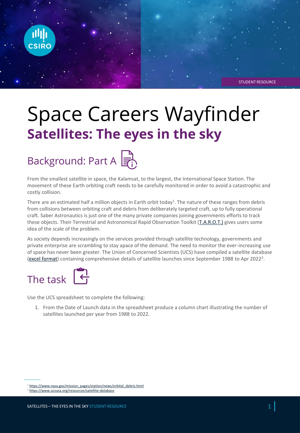
STUDENT RESOURCE Space Careers Wayfinder Satellites: The eyes in the sky Background: Part A From the smallest satellite in space, the Kalamsat, to the largest, the International Space Station. The movement of these Earth orbiting craft needs to be carefully monitored in order to avoid a catastrophic and costly collision. There are an estimated half a million objects in Earth orbit today1. The nature of these ranges from debris from collisions between orbiting craft and debris from deliberately targeted craft, up to fully operational craft. Saber Astronautics is just one of the many private companies joining governments efforts to track these objects. Their Terrestrial and Astronomical Rapid Observation Toolkit (T.A.R.O.T.) gives users some idea of the scale of the problem. As society depends increasingly on the services provided through satellite technology, governments and private enterprise are scrambling to stay apace of the demand. The need to monitor the ever-increasing use of space has never been greater. The Union of Concerned Scientists (UCS) have compiled a satellite database (excel format) containing comprehensive details of satellite launches since September 1988 to Apr 20222. The task Use the UCS spreadsheet to complete the following: 1. From the Date of Launch data in the spreadsheet produce a column chart illustrating the number of satellites launched per year from 1988 to 2022. 1 https://www.nasa.gov/mission_pages/station/news/orbital_debris.html 2 https://www.ucsusa.org/resources/satellite-database 1 SATELLITES THE EYES IN THE SKY STUDENT RESOURCE
2a. Categorise the satellite data based on their purpose as listed in the database. Order the data in a table with the most common purpose to the least common. 2 SATELLITES THE EYES IN THE SKY TEACHER GUIDE
2b. What percentage of the total satellites launched between 1988 and 2002 are owned or operated by Space X? 3. The UCS spreadsheet also lists the number of countries operating/owning satellites. Choose a suitable format to display the ten operator/owner countries with the highest number of listed satellites in the database. 3 SATELLITES THE EYES IN THE SKY TEACHER GUIDE
Background: Part B Around 20% of the satellites listed on the UCS satellite database are used for Earth Observation (EO). The data and images collected by EO satellites varies, from monitoring changes to the environment to particulate measurements in the atmosphere. Our understanding of the planets health and ecosystems is mainly derived from the data collected from space. A considerable amount of data and images recorded using satellites is freely available through a number of online platforms. In this activity we will use two of these platforms, Google Earth Pro (desktop version of Google Earth) and World Imagery Wayback. Both platforms have similar tools and properties along with a couple of options specific to each platform. The activity uses historical images collected over several years to follow the establishment and growth of the Za atari refugee camp (https://www.unhcr.org/news/stories/jordans-zaatari-refugee-camp-10-facts-10- years) in the Middle east country of Jordan. The refugee camp is the world s largest camp for Syrian refugees. The task 1. Open Google Earth Pro. Search Za atari Refugee Camp. Zoom in to the camp. Use the tools available on the platform to answer the following. a. What are the coordinates for the structure which appears to be a solar farm located south of the main camp? b. What year did this structure first appear? c. What is the approximate area and perimeter of the refugee camp d. The UNHCR recommend an average area per person of 45 m2 in refugee camps. At its peak, the Za atari camp held 120 000 refugees. Did the camp meet the recommended area per person during that period? The estimated number in the camp is now 80 000 refugees. Does the current number meet the UNHCR recommendation? e. The Melbourne Cricket Ground (MCG) covers an area of around 20 000 m2. How many MCGs would fit within the area covered by the Za atari Refugee Camp? 4 SATELLITES THE EYES IN THE SKY TEACHER GUIDE
2. Open World Imagery Wayback Type in Mogo, NSW in the Find address or place, and open the link which appears. Using the timeline down the left of the screen answer the following. One useful feature of the World Imagery Wayback platform is the Toggle Swipe Mode. This allows users to select two different dates and compare changes between the 2 dates. As an example, the area around Mogo in NSW was severely affected by the severe bushfires in late 2019. The fire damage captured in an image from an Earth Observation satellite is not that obvious when viewed alone. By selecting dates prior to the fire and after the fire passed through, the impact is far more apparent. a. Using the Toggle Swipe Mode identify which of the before and after dates give the clearest indication of fire damage. NOTE The actual date the image was captured is revealed by right clicking on the satellite image either side of the toggle. b. Imagine you are a member of the emergency services monitoring the fire behaviour using live satellite images. What advice would you have given to anyone planning to use Mitchells Road while the fire was burning in the area around Mogo. c. The owners of Mogo Zoo (Wildlife Park) were justifiably concerned for the welfare of their animals. What man made structure may have provided a break between the zoo and the area impacted by the fire? 3 https://www.unhcr.org/news/stories/jordans-zaatari-refugee-camp-10-facts-10-years 5 SATELLITES THE EYES IN THE SKY STUDENT RESOURCE SPACE CAREERS WAYFINDER IS A COLLABORATION BETWEEN THE CSIRO AND THE AUSTRALIAN NATIONAL UNIVERSITY
![[PDF⚡READ❤ONLINE] Neptune: The Planet, Rings, and Satellites](/thumb/21522/pdf-read-online-neptune-the-planet-rings-and-satellites.jpg)


