Understanding Remote Sensing Sensor Resolutions & Colour Composite
Explore the art and science of remote sensing, detailing sensor types, resolution categories, and color composite techniques. Learn about the stages involved in remote sensing, sensor variations, and band designations for satellites like Landsat 8. Discover the significance of pixel, high-resolution satellites, and electromagnetic spectrum in remote sensing applications. Gain insights into true color composite and the visible range of colors in the human eye.
Download Presentation

Please find below an Image/Link to download the presentation.
The content on the website is provided AS IS for your information and personal use only. It may not be sold, licensed, or shared on other websites without obtaining consent from the author. Download presentation by click this link. If you encounter any issues during the download, it is possible that the publisher has removed the file from their server.
E N D
Presentation Transcript
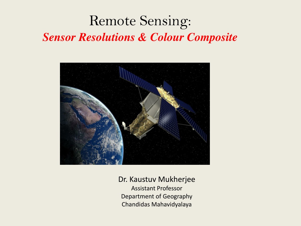
Remote Sensing: Sensor Resolutions & Colour Composite Dr. Kaustuv Mukherjee Assistant Professor Department of Geography Chandidas Mahavidyalaya
Introduction: Remote sensing is an art and science of obtaining information about an object or feature without physically coming in contact with that object or feature. A. Emission of electromagnetic radiation B. Transmission of energy from the source to the object C. Interaction of EMR with the object and subsequent reflection and emission D. Transmission of energy from the object to the sensor E. Recording of energy by the sensor F. Transmission of the recorded information to the ground station G. Processing of the data into digital or hard copy image H. Analysis of data Fig. : Important Stages in Remote Sensing (Source: Internet)
Sensor: There are several types of sensors that are used in remote sensing satellites. These sensors vary according to the purposes for which they are used. Main type of sensors used in remote sensing are - The Multispectral Scanner The Thematic Mapper The Microwave Radiometer The Synthetic Aperture Radar The Panchromatic Camera
Resolution: There are four major types of resolution in remote sensing: 1. Spatial Resolution 2. Spectral Resolution 3. Temporal Resolution 4. Radiometric Resolution
Band Designation For Landsat 8: Source: USGS, 2018 For IRS-LISS-III: Spectral Band Wavelength Resolution Band 1 (Green) 0.52 - 0.59 m 24 m Band 2 (Red) 0.62 - 0.68 m 24 m Band 3 (Near Infrared) 0.77 - 0.86 m 24 m Source: NRSC-ISRO, 2018 Band 4 (SWIR) 1.55 - 1.70 m 24 m
Colour Composite Fig. : Colour Composition Visible Range of Colours of Naked Human Eye Blue Green Red
True Colour Composite (TCC): If a multispectral image consists of the three visual primary colour bands (red, green, blue), the three bands may be combined to produce a "true colour" image. For example, the bands 3 (red band), 2 (green band) and 1 (blue band) of a LANDSAT TM image or an IKONOS multispectral image can be assigned respectively to the R, G, and B colours for display. In this way, the colours of the resulting colour composite image resemble closely what would be observed by the human eyes. Fig. : TCC from IKONOS Imagery
False Colour Composite (FCC): The display colour assignment for any band of a multispectral image can be done in an entirely arbitrary manner. In this case, the colour of a target in the displayed image does not have any resemblance to its actual colour. The resulting product is known as a false colour composite image. There are many possible schemes of producing false colour composite images. However, some scheme may be more suitable for detecting certain objects in the image. Channel Band Landsat 8 IRS LISS-III Red Band 5 Band 3 NIR band Green Blue Band 4 Band 2 Red band Band 3 Band 1 Green band
Fig. : FCC prepared from Landsat 8 Fig. : TCC prepared from Landsat 8
