Understanding Flooding Potential in Bloomington, Idaho
This project investigates the flooding potential in Bloomington, Idaho, focusing on factors such as spring runoff, snow accumulation, and temperature. The objectives include mapping basin characteristics, determining flooding potential factors, and creating a map of the project area. With data sources and analysis, the study aims to provide valuable insights for development in flood-prone areas.

Download Presentation

Please find below an Image/Link to download the presentation.
The content on the website is provided AS IS for your information and personal use only. It may not be sold, licensed, or shared on other websites without obtaining consent from the author. If you encounter any issues during the download, it is possible that the publisher has removed the file from their server.
You are allowed to download the files provided on this website for personal or commercial use, subject to the condition that they are used lawfully. All files are the property of their respective owners.
The content on the website is provided AS IS for your information and personal use only. It may not be sold, licensed, or shared on other websites without obtaining consent from the author.
E N D
Presentation Transcript
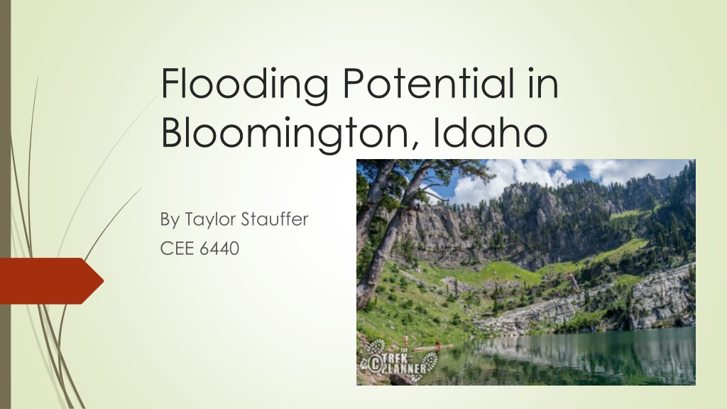
Flooding Potential in Bloomington, Idaho By Taylor Stauffer CEE 6440
Overview Background information Project objectives Data sources Height above nearest drainage (HAND) Factors affecting flooding Summary
Background Popular recreation area because of the nearby Bear Lake and Bloomington Lake Spring runoff is the main factor to potential flooding. Increasing development, not to build in high flood potential areas
Objectives Gather basin characteristics and map the DEM, streams and catchments. Flooding potential factors such as precipitation, snowpack and temperature. Map of HAND and rating curve for project area.
NHD Plus Streams and Catchments The watershed area was measured to be 112.6 sq. Km The total length of the NHD streams was 93.0 Km Drainage density is 0.83 Km/sq Km
Snow Water equivalant NRCS snowtel station located in the Franklin basin Idaho Snow water equivilant (inches) period of record
Summary Spring runoff is the largest factor for flooding Snow accumulation and consistent warm temperatures Work Remaining Add address points and land parcels Air temperature data to predict run off