NASA Atmosphere Observing System (AOS) Overview
NASA's Atmosphere Observing System (AOS) comprises innovative technologies and instruments to study aerosol, cloud, convection, and precipitation processes. AOS includes the AOS-Storm and AOS-Sky missions, utilizing various sensors like radars, lidars, radiometers, and polarimeters to address key atmospheric phenomena. International partnerships play a crucial role in AOS, enhancing both satellite and suborbital research activities.
Download Presentation

Please find below an Image/Link to download the presentation.
The content on the website is provided AS IS for your information and personal use only. It may not be sold, licensed, or shared on other websites without obtaining consent from the author.If you encounter any issues during the download, it is possible that the publisher has removed the file from their server.
You are allowed to download the files provided on this website for personal or commercial use, subject to the condition that they are used lawfully. All files are the property of their respective owners.
The content on the website is provided AS IS for your information and personal use only. It may not be sold, licensed, or shared on other websites without obtaining consent from the author.
E N D
Presentation Transcript
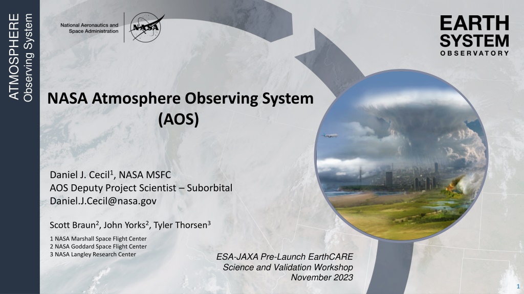
ATMOSPHERE Observing System NASA Atmosphere Observing System (AOS) SHAPE FILL WITH IMAGE Daniel J. Cecil1, NASA MSFC AOS Deputy Project Scientist Suborbital Daniel.J.Cecil@nasa.gov Scott Braun2, John Yorks2, Tyler Thorsen3 1 NASA Marshall Space Flight Center 2 NASA Goddard Space Flight Center 3 NASA Langley Research Center ESA-JAXA Pre-Launch EarthCARE Science and Validation Workshop November 2023 5/11/2024 1
AOS Addresses Aerosol, Cloud, Convection, and Precipitation Processes AOS-Storm (Inclined orbit, 2029) o JAXA PMM Radar (Ku-band, Doppler) o CNES C2OMODO tandem radiometers (89-325 GHZ) o ALICAT backscatter lidar (532, 1064 nm) AOS-Sky (Sun-synchronous orbit, 2031) o Backscatter lidar (details TBD Italian partnership?) o Doppler radar (details TBD) o Passive microwave radiometer (89-700 GHz) o Polarimeter (350-1570 nm) o CSA Thin Ice Cloud Imaging Radiometer (4-73 m mm) o CSA aerosol and moisture limb imagers AOS Suborbital o Post-launch field programs o Surface-based networks, supersites o Leverage existing capabilities, more international partners AOS-Sky [US led)Pre-decisional Doppler Radar AOS-Storm [US led) International partnerships are very important to AOS, both in the satellite constellation and in suborbital activities. 2
AOS Suborbital Aircraft and payloads depicted are notional instruments to be prioritized / deconflicted for each campaign. Low Clouds: Microphysics, precipitation initiation Convection/High Clouds: Microphysics and dynamics, anvil cirrus lifecycle. Aerosol-Cloud-Radiation Interactions: Vertically resolved aerosol-cloud-radiation interaction processes and lifecycle. Need a high altitude (over-storm) remote sensor mid/high altitude aircraft to provide both remote sensing and in situ (aerosol, cloud, precip) Large airborne campaigns addressing all science themes Link airborne campaigns with well-instrumented surface sites Partner with other programs / nations where practical low/mid altitude aircraft to provide both remote sensing and in situ (aerosol, cloud, precip) Campaigns after launch to enable cal-val Aircraft, surface sites, and networks from partners will be especially helpful. 3
AOS and EarthCARE AOS-Sky [US led)Pre-decisional Doppler Radar AOS and EarthCARE approach cloud and aerosol profiling using similar instrument types, but different frequencies and other details o Many people / institutions aligned with both missions AOS-Storm [US led) Some commonality in the cal-val needs Surface-based measurements, field campaigns, validation approaches used by each will be of interest to the other o Validation best-practices talk Wednesday afternoon o I m here to discuss collaborations, match names to faces, etc. Graphic reflects initial architecture concept directed at KDP- A. Additional direction was provided to study architecture changes, which are still on-going. 4
JAXA PMM Radar Capabilities NLT March 2029 launch 430 km orbit, 55 inclination JAXA Wide Swath Ku Doppler Radar Baseline Requirements Vertical sampling, resolution: 250, 500 m for Doppler, dense 125, 250 m for normal scan Horizontal Resolution: 5 km Observation range (altitude): Doppler 17 km Dense 20 km Normal 18-20 km Swath: 250 km Sensitivity (min dBZ): Doppler 7.3 dBZ Dense 7.3 dBZ Normal 15 dBZ Doppler uncertainty: 2 m/s @ 16 dBZ Unambiguous Doppler range: 30 m/s Doppler obs. Dense sampling obs. x3 Model Truth Normal scan obs. Height (km) x49 Simulated Ku Doppler Velocity Nadir direction of flight Courtesy of Pavlos Kollias 5
C2OMODO Radiometer Capabilities NLT March 2029 launch 430 km orbit, 55 inclination C2OMODO: Convective Core Observations through MicrOwave Derivatives in the trOpics (Brogniez et al. 2022) CNES Radiometer Scan Pattern Near Nadir CNES Microwave Radiometers (89, 183, 325 GHz) 89 GHz 183 GHz 325 GHz Time-differenced radiometer measurements (~1-2-minutes) contain information on convective vertical motions 89 GHz 10 km FOV 1 channel 183.31 GHz 5 km FOV 6 channels Nyquist sampling 325.15 GHz 3 km FOV 3 channels Continuous sampling Nyquist sampling 6
ALICAT Lidar Capabilities NLT March 2029 launch 430 km orbit, 55 inclination CATS Backscatter Lidar Example ALICAT: Atmospheric Lidar for Cloud and Aerosol Transport Low pulse energy, high pulse repetition frequency Frequencies: 532, 1064 nm Provides total attenuated backscatter and depolarization at both frequencies Heritage: Cloud Physics Lidar, Cloud-Aerosol Transport System (CATS) 7
AOS-Sky Lidar NET December 2031 launch 450 km orbit, sun-sync-13:30 LTAN 532 nm, 1064 Backscatter Lidar* Target requirement of daytime SNR equivalent to CALIPSO night SNR NASA HQ has initiated study of partnership with Italian Space Agency (ASI) ASI lidar: 355 nm Raman (extinction) 532, 1064 nm backscatter Clouds Requires formation flying of AOS-Sky and ASI lidar Dust Smoke Clouds
AOS-Sky Radar NET December 2031 launch 450 km orbit, sun-sync-13:30 LTAN Baseline Requirements Quantity Radar reflectivity, cloud- profiling Resolution @ altitude Horiz.: 2.0 km Vert.: 300 m @ 0.5 1.0 km 300 m @ 1.0 - 2.5 km 500 m @ 2.5 6 km 500 m @ 6 20 km Accuracy Sensitivity @ altitude 5 dBZ @ 0.5 km 1 km 15 dBZ @ 1 km 2.5 km 20 dBZ @ 2.5 km 6 km 24 dBZ @ 6 km 20 km 1.5 dB * Requirements are frequency agnostic Enhancements to be studied: Second frequency, narrow swath, passive measurements if Ka band, LDR Figures at left courtesy of Matt McLinden 9
AOS-Sky Radiometer Requirements Microwave Radiometer: 89-700 GHz Baseline Requirements Bands (# Channels) Accuracy (K) Polarization 89-113 GHz (1) 0.5 K Target: Dual Minimum: Single 118 GHz (3) 0.75 K 183.3 GHz (3) 0.75 K Target: Dual Minimum: Single 165/205 GHz (1) 0.75 K 310 GHz (3) 325.2 or 380.2 GHz (2) 1.5 K 1.5 K Target: Dual Minimum: Single 640-700 GHz (1) 1.5 K Dual Courtesy of Matt McLinden Courtesy of Yuli Liu, UMBC Sub-mm wavelengths bring a cloud sensitivity that is new for NASA missions Cross-track scanning, 750 km swath FOV 10 km at nadir, 20 km at edge of swath 10
AOS Polarimeter Requirements UV-VIS-NIR-SWIR Multi-angle Polarimeter Baseline Requirements Type and/or Wavelength range (nm) Number of spectral channels 1 2 1 1 1 3 Number of viewing angles per pixel 10 10 60 10 10 10 Example AOD from HARP Cloud-top properties available also UV: 350 390 nm1 VIS: 410 750 nm Hyperangle: 660 870 nm Water Vapor: ~940nm SWIR Cirrus: ~1380 VNIR-SWIR: 870 1570 nm 300 km swath width 0.5 km IFOV (at nadir)
CSA Contributions Canadian Space Agency Longwave-Far Infrared Imaging Radiometer (4-73 mm), Aerosol/Moisture Limb Sounding AOS-Sky [US led) AOS-Storm [US led)
Summary of AOS Measurements & Timeline Polar orbit Inclined orbit (diurnal variations) Sun-synch 1330 LTAN NET Dec 2031 55 inclination NLT March 2029 AOS-Storm, JAXA PMM, and CNES C2OMODO: 2031 2023 2027 2019 Ku-Doppler radar dTB/dt (~mm-wavelength) Backscatter lidar AOS-Sky, CSA HAWCsat: Cloud-profiling Doppler radar Backscatter lidar sub-mm radiometer Polarimeter Longwave radiometer Limb sounder (aerosol+moisture) Polar Possible extended mission Possible extended mission AOS-Sky + HAWCsat CloudSat/CALIPSO End of GPM station keeping fuel CSA Suborbital campaigns after launches Inclined GPM PMM INCUS Possible extended mission AOS- Storm JAXACNES Possible extended mission 13

![[PDF⚡READ❤ONLINE] Solar Surveyors: Observing the Sun from Space (Springer Praxis](/thumb/21536/pdf-read-online-solar-surveyors-observing-the-sun-from-space-springer-praxis.jpg)
