Horizontal Coordinate System in Astronomy
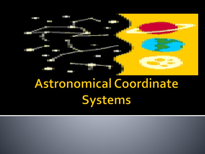
Explore the Az/Alt and Equatorial coordinate systems in astronomy, based on the celestial sphere surrounding Earth. Learn about azimuth, altitude, cardinal directions, and how coordinates change with locations. Understand the components, measurements, and directions used in the horizontal coordinate system.

Download Presentation

Please find below an Image/Link to download the presentation.
The content on the website is provided AS IS for your information and personal use only. It may not be sold, licensed, or shared on other websites without obtaining consent from the author.If you encounter any issues during the download, it is possible that the publisher has removed the file from their server.
You are allowed to download the files provided on this website for personal or commercial use, subject to the condition that they are used lawfully. All files are the property of their respective owners.
The content on the website is provided AS IS for your information and personal use only. It may not be sold, licensed, or shared on other websites without obtaining consent from the author.
E N D
Presentation Transcript
There are 2 types: i. Az/Alt. -The horizontal coordinate system is a celestial coordinate system that uses the observer's local horizon as the fundamental plane. ii. Equatorial (R.A./Dec.) - is a widely used celestial coordinate system used to specify the positions of celestial objects. It may be used in spherical or rectangular coordinates defined by an origin at the center of the Earth, a fundamental plane consisting of the projection of the Earth's equator onto the celestial sphere (forming the celestial equator), a primary direction towards the vernal equinox a right-handed convention. 1. 2. 3. 4.
Both Az/Alt and equatorial coordinate systems are based off of what is called the celestial sphere. This is an imaginary ball that surrounds the earth and hold all the stars. To the naked eye, stars appear fixed on the sky with respect to one another. These patterns are often grouped into constellations.
This system is based on you, the observer, as well as the horizon and NESW Azimuth Cardinal directions NESW North = 0 East = 90 iii. South = 180 iv. West = 270 360 (south west north), it is setting a) b) i. ii. ***If the azimuth is between 0 and 180 (north east south), it is rising. ***If the azimuth is between 180 and Sometimes referred to as elevation, is the angle between the object and the observer's local horizon. For visible objects it is an angle between 0 degrees to 90 degrees.
c.) Altitude angle measure above the horizon i. Zenith straight up/+90 ; the distance from directly overhead ii. Nadir straight down/-90 ; the direction pointing directly below a particular location iii. Horizon - 0 The angle of the object around the horizon, usually measured from the north increasing towards the east.
Coordinates change as your change locations Coordinates of stars change as they move across the night sky Requires time and location for other people to determine the stars you were looking at
What are the 2 components that make up the horizontal coordinate system? Which component of the horizontal coordinate system measure from 0 to 360 ? Which component from the horizontal coordinate system measures from -90 to +90 ? Name all the cardinal directions used in the horizontal coordinate system.
Azimuth and Altitude Azimuth Altitude NESW
Is a widely used celestial coordinate system used to specify the positions of celestial objects. Based on stars relative one another and celestial poles/equator (celestial sphere). More scientific, accurate, and complex Meridian - the great circle passing through the celestial poles and the zenith of a particular location. contains the horizon's north and south points and it is perpendicular to the celestial equator and the celestial horizon a. b. c. d. e. File:Ra and dec demo animation small.gif
A stars spherical coordinates are usually expressed as a pair right ascension and declination, without a distance coordinate. c.) Right Ascension = longitude of the celestial sphere i. Lines go from pole to pole vertically ii. Angular distance of an object going eastward iii. Measured in hrs, min, and sec from iv. 0 hrs to 23 hrs, 59 min, 59 seconds v. There are (360 / 24h) = 15 in one hour of right ascension, 24h of right ascension around the entire celestial equator d.) Declination = latitude of celestial sphere i. Celestial north pole = Polaris +90 ii. Celestial south pole = -90 iii. Celestial Equator = 0 iv. From -90 to +90 v. measures the angular distance of an object perpendicular to the celestial equator, positive to the north, negative to the south.
More complex Requires a star or two for star taking data
To help locate the stars on the celestial sphere, we make use of angles. In degrees; a degree is 1/360 of a circle Use of hand during night sky measurement: 1 finger = 1 degree 3 fingers = 5 degrees Full clenched fist = 10 degrees Outstretched hand = 20 degrees
Ursa major i. ii. Cygnus iii. Lyra iv. Aquila
Common/informal name for a grouping of stars i. Big Dipper ii. Summer Triangle File:Big dipper from the kalalau lookout at the kokee state park in hawaii.jpg File:Summer triangle map.png


 Altitude – angle measure above the horizon")