Exploring Darjeeling District: A Geographic Overview
Darjeeling District, located in the northern part of West Bengal, India, is famous for its hill stations and Darjeeling tea. The district features a unique geographical setting with hills and plains, managed by the Gorkhaland Territorial Administration. This historical area has connections to Sikkim, East India Company, Nepal, and Bhutan, making it rich in culture and natural beauty.

Download Presentation

Please find below an Image/Link to download the presentation.
The content on the website is provided AS IS for your information and personal use only. It may not be sold, licensed, or shared on other websites without obtaining consent from the author. Download presentation by click this link. If you encounter any issues during the download, it is possible that the publisher has removed the file from their server.
E N D
Presentation Transcript
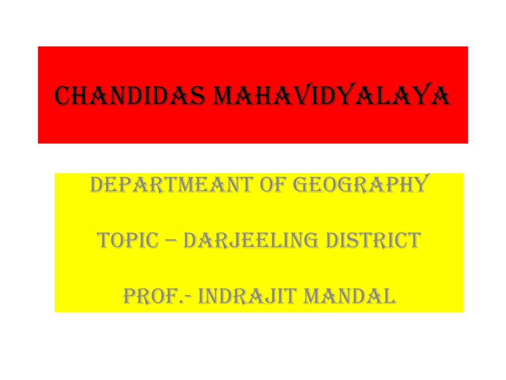
CHANDIDAS MAHAVIDYALAYA DEPARTMEANT OF GEOGRAPHY TOPIC DARJEELING DISTRICT Prof.- Indrajit mandal
Darjeeling district Darjeeling District is the northern most district of the state of West Bengal in eastern India in the foothills of the Himalayas. The district is famous for its hill stations (often referred to as the Queen of the Hills) and Darjeeling tea. Darjeeling is the district headquarters. Kurseong, Siliguri and Mirik, three other major towns in the district, are the subdivisional headquarters of the district. Kalimpong was one of the subdivisions but on 14 February 2017, it officially became a separate Kalimpong district.
GEOGRAPHICAL SETTING Geographically, the district can be divided into two broad divisions: the hills and the plains. The entire hilly region of the district comes under the Gorkhaland Territorial Administration, a semi-autonomous administrative body under the state government of West Bengal. This body covers the three hill subdivisions of Darjeeling, Kurseong and Mirik and the district of Kalimpong.
The foothills of Darjeeling Himalayas, which comes under the Siliguri subdivision, is known as the Terai. The district is bounded on the north by Sikkim, on the south by Kishanganj district of Bihar state, on the east by Kalimpong district and on the west by Nepal. Darjeeling district has a length from north to south of 18 miles (29 km) and a breadth from east to west of 16 miles (26 km). As of 2011, it was the second least populous district of West Bengal (out of 19), after Dakshin Dinajpur
LOCATION OF DARJEELING DISTRICT IN W.B. Location of Darjeeling district in West Bengal
India Country State West Bengal Jalpaiguri Darjeeling Administrative division Headquarters Government Lok Sabha constituencies Darjeeling Darjeeling, Kurseong, Matigara-Naxalbari, Siliguri, Phansidewa Assembly seats Area Total 2,092.5 km2 (807.9 sq mi) Population (2011) Total Density Urban 1,846,825 880/km2 (2,300/sq mi) 727,963 Demographics Literacy Sex ratio Major highways 79.56% (excluding 0 6 population) 970 NH 31, NH 55
Historical background of Darjeeling dist. The name Darjeeling comes from the Tibetan words, Dorje (thunderbolt) and Ling (place or land), meaning the land of the thunderbolt. The history of Darjeeling district is linked to that of the Sikkim, East India Company, Nepal and Bhutan. Most of Darjeeling formed a part of dominions of the Chogyal of Sikkim, who had been engaged in an unsuccessful warfare against the Gorkhas of Nepal. From 1780, the Gorkhas made several attempts to capture the entire region of Darjeeling. By the beginning of the 19th century, they had overrun Sikkim as far eastward as the Teesta River and had conquered and annexed the Terai.
In the meantime, the British were engaged in preventing the Gorkhas from over-running the whole of the northern frontier. The Anglo-Gorkha war broke out in 1814, which resulted in the defeat of the Gorkhas and subsequently led to the signing of the Sugauli Treaty in 1815. According to the treaty, Nepal had to cede all those territories which the Gorkhas had annexed from the Chogyal of Sikkim to the British East India Company (i.e., the area between Mechi River and Teesta River). In 1817, through the Treaty of Titalia, the British East India Company reinstated the Chogyal of Sikkim, restored all the tracts of land between the Mechi and the Teesta rivers to the Chogyal of Sikkim and guaranteed his sovereignty. In 1835, the hill of Darjeeling, including an enclave of 138 square miles (360 km2), was given to the British East India Company by Sikkim.
In November 1864, the Treaty of Sinchula was executed in which the Bhutan Dooars with the passes leading into the hills and Kalimpong were ceded to the British by Bhutan. The Darjeeling district can be said to have assumed its present shape and size in 1866 with an area of 1234 sq. miles. Before 1861 and from 1870 to 1874, Darjeeling District was a "Non-Regulated Area" (where acts and regulations of the British Raj did not automatically apply in the district in line with rest of the country, unless specifically extended). From 1862 to 1870, it was considered a "Regulated Area". The phrase "Non-Regulated Area" was changed to "Scheduled District" in 1874 and again to "Backward Tracts" in 1919. The status was known as "Partially Excluded Area" from 1935 until the independence of India.
On 14 February 2017, Kalimpong district was carved out of Darjeeling district. Gorkhaland Movement https://upload.wikimedia.org/wikipedia/commons/thumb/9/9a/Flag_of_Gurkhaland.svg/150px-Flag_of_Gurkhaland.svg.png The GNLF flag.
During the 1980s, the Gorkha National Liberation Front led an intensive and often violent campaign for the creation of a separate Gorkhaland state within India, across the Nepali-speaking areas in northern West Bengal. The movement reached its peak around 1986 1988 but ended with the establishment of the Darjeeling Gorkha Hill Council in 1988. The hill areas of Darjeeling enjoyed some measure of autonomy under the Darjeeling Gorkha Hill Council. However, the demand for full statehood within India has emerged once again, with the Gorkha Janmukti Morcha as its chief proponent.[3] The Gorkhaland Territorial Administration replaced the DGHC in August 2012 after the GJM signed an agreement with the government.
Geography of Darjeeling https://upload.wikimedia.org/wikipedia/commons/thumb/f/fd/Darjeeling_Tea_Garden.JPG/200px-Darjeeling_Tea_Garden.JPG A tea garden in Darjeeling.
The Darjeeling hill area is formed of comparatively recent rock structure that has a direct bearing on landslides. Heavy monsoon precipitation contributes to the landslides. Soils of Darjeeling hill areas are extremely varied, depending on elevation, degree of slope, vegetative cover and geolithology. The Himalayas serve as the source of natural resources for the population residing in the hills as well as in the plains. As human population expands in the hills, forests are being depleted for the extension of agricultural lands, introduction of new settlements, roadways, etc. The growing changes coming in the wake of urbanization and industrialization leave deep impressions on the hill ecosystem.
https://upload.wikimedia.org/wikipedia/commons/thumb/2/21/Bridge_at_Teesta.jpg/200px-Bridge_at_Teesta.jpghttps://upload.wikimedia.org/wikipedia/commons/thumb/2/21/Bridge_at_Teesta.jpg/200px-Bridge_at_Teesta.jpg Coronation Bridge over Teesta river
The economy of Darjeeling hill area depends on tea production, horticulture, agriculture, forestry and tourism. The major portions of the forests are today found at elevations of 2000 meters and above. The area in between 1000 2000 meters is cleared either for tea plantation or cultivation. About 30 percent of the forest covers found in the lower hills are deciduous. Evergreen forest constitutes only about 6 percent of the total forest coverage. Shorea robusta remains the most prominent species of tropical moist deciduous forest along with heavy undergrowth.
River of Darjeeling Districts Teesta, Rangeet, Mechi, Balason, Mahananda and Rammam are the important rivers of the district.
Climate of Darjeeling Dist. Climate data for Darjeeling Month Jan Feb Mar Apr May Jun Jul Aug Sep Oct Nov Dec Year Record high C ( F) 16 (61) 17 (63) 23 (73) 24 (75) 25 (77) 24 (75) 25 (77) 25 (77) 25 (77) 23 (73) 19 (66) 17 (63) 25 (77) Average high C ( F) 8 9 14 (57) 17 (63) 18 (64) 18 (64) 19 (66) 18 (64) 18 (64) 16 (61) 12 (54) 9 15 (58) (46) (48) (48) Average low C ( F) 2 2 6 9 12 (54) 13 (55) 14 (57) 14 (57) 13 (55) 10 (50) 6 3 9 (36) (36) (43) (48) (43) (37) (48) Record low C ( F) 3 (27) 2 (28) 1 (30) 1 6 8 9 11 (52) 10 (50) 4 2 1 (30) 3 (27) (34) (43) (46) (48) (39) (36) Average precipitatio n mm (inches) 13 28 (1.1) 43 104 (4.09) 216 (8.5) 589 (23.19) 798 (31.42) 638 (25.12) 447 (17.6) 130 (5.12) 23 8 3,037 (119.57) (0.51) (1.69) (0.91) (0.31) Source: http://www.bbc.co.uk/weather/world/city_guides/results.shtml?tt=TT004930
Darjeeling Municipal Area https://upload.wikimedia.org/wikipedia/commons/thumb/7/7d/Darjeeling_Town_109.jpg/220px-Darjeeling_Town_109.jpg
Subdivisions of Darjeeling Darjeeling District comprises four subdivisions: 1.Darjeeling Sadar subdivision 2.Kurseong subdivision 3.Mirik subdivision 4.Siliguri subdivision
Assembly constituencies https://upload.wikimedia.org/wikipedia/commons/thumb/7/79/Kurseong_Station%2C_Darjeeling_Himalayan_Railway_1031.jpg/220px-Kurseong_Station%2C_Darjeeling_Himalayan_Railway_1031.jpg Kurseong Station, Darjeeling Himalayan Railway
The district was previously divided into six assembly constituencies. As per the order of the Delimitation Commission in respect of the delimitation of constituencies in West Bengal, the district had been divided into six assembly constituencies. Kalimpong has become a separate district from 14 February 2017, so the number of assembly constituencies in Darjeeling district is now five. 1. Darjeeling (assembly constituency no. 23) 2. Kurseong(assembly constituency no. 24) 3. Matigara-Naxalbari (SC) (assembly constituency no. 25) 4. Siliguri (assembly constituency no. 26) 5. Phansidewa (ST) (assembly constituency no. 27)
Phansidewa constituency will be reserved for Scheduled Tribes (ST) candidates. Matigara-Naxalbari constituency will be reserved for Scheduled Castes (SC) candidates. Along with one assembly constituency from Kalimpong district and one assembly constituency from North Dinajpur district, the five assembly constituencies of this district form the Darjeeling Lok Sabha constituency.
Demographics condition of Darjeeling Dist. According to the 2011 census Darjeeling district has a population of 1,846,823,[2] roughly equal to the nation of Kosovo.[7] This gives it a ranking of 257th in India (out of a total of 640).[2] The district has a population density of 586 inhabitants per square kilometre (1,520/sq mi).[2] Its population growth rate over the decade 2001-2011 was 14.77%.[2] Darjeeling has a sex ratio of 970 females for every 1000 males.
Population and literacy rate of Darjeeling In 2001, the population of the district was 1,609,172. The rural population was 1,088,740 and urban population was 520,432. Total males were 830,644 and females were 778,528. The density of population was 511 per km2. The decennial population growth rate (1991 2001) was 23.79%,and the literacy rate of Darjeeling dist. is 79.56%.
Inhabitants of Darjeeling hills The original inhabitants of the Darjeeling Hills were the Lepchas or Rongpa (the ravine folks) as they prefer themselves to be known as. The Limbus are another ancient inhabitants of this district. The greater bulk of the people in the hills are the Indian Gorkhas who speak Nepali and other dialects. Among the population are the Sherpas and Denzongpas (Bhutias). There is also a sizeable population of Tibetans who arrived from Tibet since the 1950s. In the plains, the Bengalis are in majority along with several communities like the Biharis, Gorkhas, Marwaris and the Adivasi people originally from Chotanagpur and Santhal Parganas.
Languages of Darjeeling Dist. Bengali and Nepali are the official languages in Darjeeling and Kurseong subdivisions while for the rest of the district, the official language is Bengali. Nepali, Bengali and English are the prevailing languages of Darjeeling. Nepali (which is spoken by more than 80% of the population in Darjeeling, Kurseong and Mirik subdivisions) is the dominant language in the hills.Tibetan is spoken by the refugees and some other tribal populations. Other languages spoken are Bantawa, Bijori, Bodo, Chamling, Dzongkha, Gurung, Kamta, Khaling, Kisan, Lepcha, Lhomi, Limbu, Sherpa, Sikkimese and Tamang.
Flora and fauna of Darjeeling Dist. Darjeeling district is home to Singalila National Park, which was set up in 1986 as a wildlife sanctuary and converted to a national park in 1992. It has an area of 78.60 km2 (30.3 sq mi). Darjeeling district has three wildlife sanctuaries: Jorepokhri, Mahananda, and Senchal.
https://upload.wikimedia.org/wikipedia/commons/thumb/7/7a/Darjeeling_Himalayan_Railway.jpg/200px-Darjeeling_Himalayan_Railway.jpghttps://upload.wikimedia.org/wikipedia/commons/thumb/7/7a/Darjeeling_Himalayan_Railway.jpg/200px-Darjeeling_Himalayan_Railway.jpg Darjeeling Toy Train