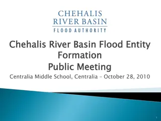
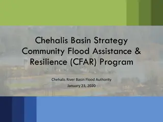
Chehalis River Basin Flood Preparedness Update - Fall 2021
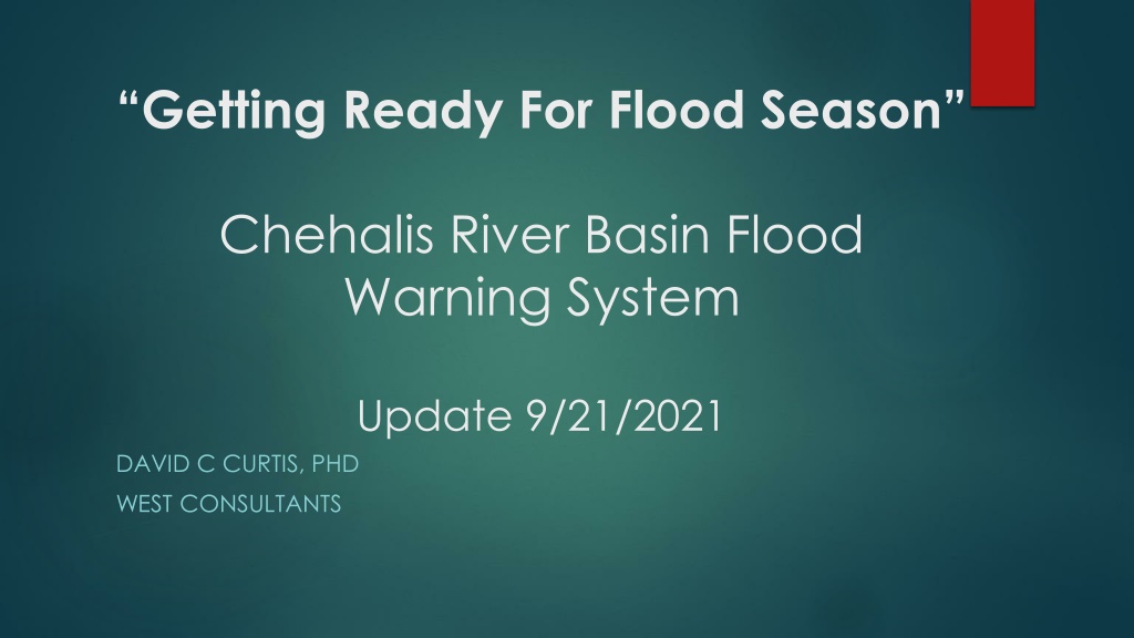


“Getting Ready For Flood Season”
Chehalis River Basin Flood
Warning System
Update 9/21/2021
DAVID C CURTIS, PHD
WEST CONSULTANTS


Routine Activities
Weekly remote monitoring of Flood
Authority gauges operated by WEST.
Rain, Temperature, Stream, Webcams
Quarterly visits to gauge sites.
Emergency responses as needed.
Low battery
Communication failure
Vandalism

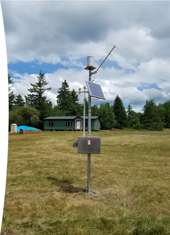
Riverside rain gauge
Riverside rain gauge
New and Renewed Permits
Cedar Creek (DNR) permit has been
secured through 2026
Haywire (Green Diamond) permit has
been secured through 2025.
Weyerhaeuser permit for multiple
gauges secured until 8/3/2023
Gauge Relocations
ROCK-WEYCO rain gauge removed
Replaced with MASON FD13 AT
CLOQUALLAM
Haywire Ridge rain gauge moved
Next up – Fire conditions permitting
Brooklyn rain gauge
Skookumchuck rain gauge
Chehalis River below Thrash Creek
Gauge Relocations
Gauge Relocations
Mason FD Gauge
Mason FD Gauge
At Cloquallam
At Cloquallam
Haywire Gauge
Haywire Gauge
Webcams
Webcam at Monte Elma Rd bridge has been removed due
to vandalism. 5/4/2021
A new webcam location on the
Lower Satsop has been investigated and
is ready for deployment when landowner
permission is secured.
Time lapse video at Mellon Street.
Looking upriver at Mellen Street bridge
Chehalis River at Montesano Gauge
USGS reports that Montesano
will be operational by end of
September.
Rainfall Outlook
Rainfall
this
weekend.
Atmospheric River!!
Atmospheric River
Atmospheric River
DJF Temperature
DJF Precipitation
Forecast
Highwater
Alerts
Example:
The Chehalis River at
Centralia is expected to
exceed flood stage in
11
11
hours.
Pilot project volunteers?
Virtual Training
Mark your calendar:
21st Annual Pre-Winter Flood Meeting.
Monday, October 25th from 1-5pm
Jester Auto Museum
Questions?
Comprehensive update on preparations for flood season in the Chehalis River Basin, including routine monitoring activities, permit renewals, gauge relocations, webcam updates, and rainfall outlook. Key highlights include securing permits, gauge relocations, webcam status, and USGS report on the operational status of the Montesano gauge. Stay informed and prepared for potential flooding in the region.

Download Presentation

Please find below an Image/Link to download the presentation.
The content on the website is provided AS IS for your information and personal use only. It may not be sold, licensed, or shared on other websites without obtaining consent from the author.If you encounter any issues during the download, it is possible that the publisher has removed the file from their server.
You are allowed to download the files provided on this website for personal or commercial use, subject to the condition that they are used lawfully. All files are the property of their respective owners.
The content on the website is provided AS IS for your information and personal use only. It may not be sold, licensed, or shared on other websites without obtaining consent from the author.
E N D
Presentation Transcript
Getting Ready For Flood Season Chehalis River Basin Flood Warning System Update 9/21/2021 DAVID C CURTIS, PHD WEST CONSULTANTS
Routine Activities Weekly remote monitoring of Flood Authority gauges operated by WEST. Rain, Temperature, Stream, Webcams Quarterly visits to gauge sites. Emergency responses as needed. Low battery Communication failure Vandalism Riverside rain gauge
New and Renewed Permits Cedar Creek (DNR) permit has been secured through 2026 Haywire (Green Diamond) permit has been secured through 2025. Weyerhaeuser permit for multiple gauges secured until 8/3/2023
Gauge Relocations ROCK-WEYCO rain gauge removed Replaced with MASON FD13 AT CLOQUALLAM Haywire Ridge rain gauge moved Next up Fire conditions permitting Brooklyn rain gauge Skookumchuck rain gauge Chehalis River below Thrash Creek
Gauge Relocations Haywire Gauge Mason FD Gauge At Cloquallam
Webcams Webcam at Monte Elma Rd bridge has been removed due to vandalism. 5/4/2021 A new webcam location on the Lower Satsop has been investigated and is ready for deployment when landowner permission is secured. Time lapse video at Mellon Street. Looking upriver at Mellen Street bridge Looking upriver at Mellen Street bridge
Chehalis River at Montesano Gauge USGS reports that Montesano will be operational by end of September.
Rainfall this weekend. Atmospheric River!!
DJF Temperature DJF Precipitation
Forecast Highwater Alerts Example: The Chehalis River at Centralia is expected to exceed flood stage in 11 hours. Pilot project volunteers?
Mark your calendar: 21st Annual Pre-Winter Flood Meeting. Monday, October 25th from 1-5pm Jester Auto Museum