Integrated Management of Biological and Landscape Diversity in the Carpathians
The BioREGIO Carpathians and DINALPCONNECT projects focus on fostering ecological connectivity in the Carpathians region through initiatives like Work Package 5 Continuity and Connectivity. The projects aim to enhance sustainability, regional development, and coexistence between human society and wildlife. They have identified core areas, dispersal areas, and pathways for umbrella species such as the European Otter, European Lynx, Chamois, Brown Bear, Western Capercaillie, and Grey Wolf. Recommendations and strategies have been developed to overcome barriers to connectivity, supporting the conservation of biodiversity in the Carpathians.

Download Presentation

Please find below an Image/Link to download the presentation.
The content on the website is provided AS IS for your information and personal use only. It may not be sold, licensed, or shared on other websites without obtaining consent from the author. Download presentation by click this link. If you encounter any issues during the download, it is possible that the publisher has removed the file from their server.
E N D
Presentation Transcript
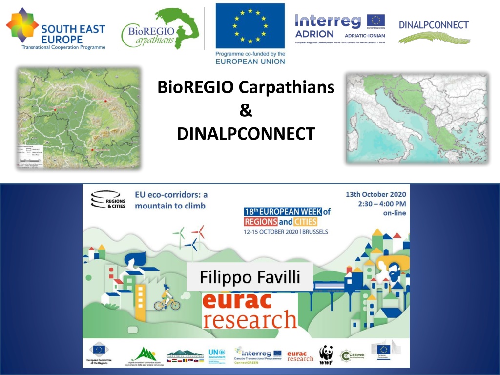
BioREGIO Carpathians & DINALPCONNECT Filippo Favilli
Index BioREGIOCarpathians (2011-2013) http://www.bioregio-carpathians.eu/home_bioregio.html Area, objectives & main results Work Package 5 Continuity and Connectivity DINALPCONNECT (2020 2022) https://dinalpconnect.adrioninterreg.eu/ Area, objectives & approach Work Package 1 - Valorisation of agricultural and forested landscapes for ecological connectivity potential
BioREGIO Study and Pilot Areas INTEGRATED MANAGEMENT OF BIOLOGICAL AND LANDSCAPE DIVERSITY FOR SUSTAINABLE REGIONAL DEVELOPMENT AND ECOLOGICAL CONNECTIVITY IN THE CARPATHIANS 16 PPs 9 countries Pilot Areas
BioREGIO Carpathians Project (2011 2014) EU-SEE Trans-National Cooperation Program Objectives Coexistence human society / wildlife Long-term favourable conservation state of the natural assets Red List of Habitat and Species Identify development opportunity in protected areas Detect the ecological network of the Carpathians and identify the main threats Results A Carpathian Integrated Biodiversity Information System (CIBIS) (http://www.ccibis.org/) A Web-GIS application for Ecological Connectivity (http://webgis.eurac.edu/bioregio/) The first Carpathian wide Red Lists of Habitats and Species and a List of Invasive Alien Species; Common Integrated Management Measures (CIMM): common standards for the integrated management of natural assets and protected areas; Recommendations to sustain, restore & enhance Ecological Connectivity in the Carpathians (http://www.bioregio-carpathians.eu/)
Work Package 5 Continuity and Connectivity - EURAC Holistic, Pan-Carpathians & Pilot areas approach Choose and combine a GIS Habitat Suitability and Linkage design Model Select representative umbrella species for the Carpathians Identify the main core areas, dispersal areas and least-cost paths for the selected species in the whole Carpathians and the Pilot Areas Collect field data through site visits in specific locations to identify the main physical, legal and socio-economic barriers for connectivity Develop specific recommendations and national strategies to overcome the identified barriers 5
Umbrella Species European Otter SENSITIVE/SPECIALIST European Lynx AQUATIC Chamois Brown Bear GENERALIST/OPPORTUNISTIC Western Capercaillie Grey Wolf PREYS European Hare Red Deer
Habitat Suitability Model used in BioREGIO FACTOR Altitude FACTOR land cover FACTOR 1st Step CorridorDesign Distance to roads Carpathians-wide Approach FACTOR Slope FACTOR Distance to settlements
Habitat Suitability Model used in BioREGIO Potential Suitability Map 1st Step Carpathians-wide 2nd Step Suitability Categorization Specific Core Areas Probability of dispersal Carpathians-wide ecological factor Resistance calculation 3rd Step Linkage Mapper Potential Corridors Least-cost paths (LCPs) Carpathians-wide Local / Hotspots & Site Visits Policy Recommendations National Strategies national scale National & Pilot Areas (Majka et al., 2007; http://code.google.com/p/linkage-mapper/)
Hotspots visual identification Specific locations identified through the GIS Habitat Suitability and Core Areas Maps Human/wildlife possible conflicts maps provided to local partners Slovakia Romania Hungary 9
http://webgis.eurac.edu/bioregio/ Railway kills Migration corridor Measures for bird connectivity New motorway Poaching SK Uncontrolled urbanization Road kills Agriculture Hunting Forestry Envir. Awareness UA Conflicts Stray dogs Otter conn 3. Border HU/SK New M2 motorway HU Specific locations selected by local partners Organization of meetings and field trips with: - Local Stakeholder - Farmers - Hunters - Foresters - Nature Conservationists - Researchers - Administrations 1. Sibiu (RO) Cumulative effects NGOs - Hunters New motorway RO Conflicts Mass tourism Environ. Awar. 2. Djerdap (SRB) Road kills Damages Compensation Management plans Road kills Local socio-economic situation, environmental awareness, degree of connectivity, human/wildlife conflicts, actions done etc. SRB 10
Publications and Recommendations http://www.bioregio-carpathians.eu/
Publications and Recommendations Most relevant recommendations elaborated by EURAC together with the project consortium concerning ecological connectivity Barriers/Possibilities influencing ecological continuum and connectivity separated into a physical, legal andsocio economicpart. 1. 2. 3. 4. 5. New Infrastructures, roads and motorways Animal Vehicle Collision Hunting Procedures Forest Agriculture Physical 6. 7. Trans-boundary issues Hunting Laws Legal 8. 9. 10. Compensation of damages Urban sprawl and settlement expansion Ecological connectivity: beyond protected areas Socio-economic http://www.bioregio-carpathians.eu/
DinAlpCONNECT Transboundary ecological connectivity of Alps and Dinaric Mountains *South north link very important in view of climate change! *Linking mountain ranges rich in biodiversity! BHI ME AL GR 13
*Follow-up of ALPBIONET2030 project (Alpine Space) extending to Dinaric Mountains *LP: Agricultural Institute of Slovenia *11 partners, 7 countries BHI ME AL GR 14
OVERALL PROJECT OBJECTIVE: To strengthen transnational and sectoral cooperation to improve ecological connectivity throughout Dinaric Mountains connecting them with the Alps enabling long term protection of biodiversity in view of current and future climatic changes. BHI ME AL GR 15
DinAlpCONNECT Transboundary ecological connectivity of Alps and Dinaric Mountains Project area & Pilot Sites SI IT HR DinAlp: ~275.000 km BHI ME Carpathians: ~210.000 km AL Alpine Convention: ~190,700 km GR Alpine space: ~450.000 km 16
Develop a strategy to improve the ecological connectivity potential throughout the Dinaric Mountains and connecting them with Alps BHI - Spatial analysis of ecological connectivity - Identification of current priority areas and main barriers - Overview of ecological connectivity implementation in policies ME AL GR 17
Establish a transnational network of Pilot regions to improve ecological connectivity BHI - Bring together stakeholders in transboundary Pilot regions - Promote transboundary pro-biodiversity businesses - Organise an international conference on ecological Connectivity - Develop Action plans for transboundary Pilot regions to improve ecological connectivity - Focusing on priority species or habitats on both sides of the national border - Guidelines for improved agricultural and forestry practices ME AL GR 18
DinAlpCONNECT - WP 1 Main Objective Develop a Strategy to improve the ecological connectivity (EC) potential of agricultural and forested landscapes throughout the Dinaric Mountains and connecting them with the Alps as a framework for coordinated development and implementation of green infrastructure Analyses of EC policies Analyses of EC main features Analyses of EC barriers and solutions 19 www.socratic.org
Activity 2 GIS model Objectives and scales Project area - macroregional level We will simulate the permeability of the landscape/ habitat and identify areas with the main barriers to it. Approach: holistic Method: Continuum Suitability Index Scale: 100 x 100 m (CLC) 20 https://www.jecami.eu/viewer/saca/
Activity 2 GIS model Objectives and scales Pilot Sites regional cross border level Identify ecological connectivity barriers, hot spots, corridors or stepping-stones Approach: Structural Method: Least-cost path - based Scale: tbd. https://triekol.se/triekol-3-eng/modeling-of-permeability-and- mortality-effects-on-wildlife-populations/ 21
Activity 2 GIS model Project Area 22
Activity 2 GIS model Pilot sites Pilot Sites regional cross border level 1. 2. Identify species Characterize biology, ecology of species to be assessed: Land cover, elevation, topography (BioRegio) Searching impediments and barriers: Distance to human settlements, distance to roads (BioRegio) Defining habitat (Core areas) and cost or resistance surface Run model to calculate ecological corridors 3. 4. 5. https://circuitscape.org/linkagemapper/linkage-mapper-tools/ 23
THANK YOU Filippo Favilli, PhD Institute for Regional Development Viale Druso 1, 39100 Bolzano T +39 0471 055 327 filippo.favilli@eurac.edu www.eurac.edu A species survives when, and only when, humans decide to value it, have positive attitudes toward it, and actively engage in doing something to conserve it (Bath, 2009) The future of wild species depends as much on human attitudes, emotional responses and behaviours as it does on wildlife ecology (Enck et al., 2006)


")


 extending")